
Sometimes, it might be better to cut your losses instead of fighting for a relationship that has already run its course
Olivia Burke
From the strange to the scary, discover the world around you with our collection of articles about the community.
Sometimes, it might be better to cut your losses instead of fighting for a relationship that has already run its course
Olivia Burke

In the digital age it takes extra work for a cheater to hide their philandering footprints
Joe Harker
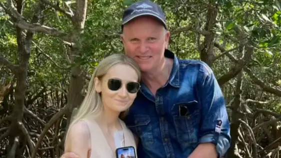
He said his daughter was 'amazing'
Joe Harker
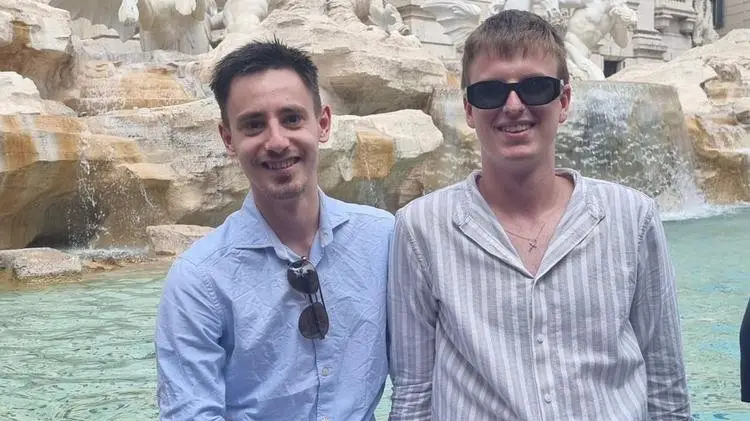
Adam and Tomas had tragically little time to spend married to each other
Joe Harker