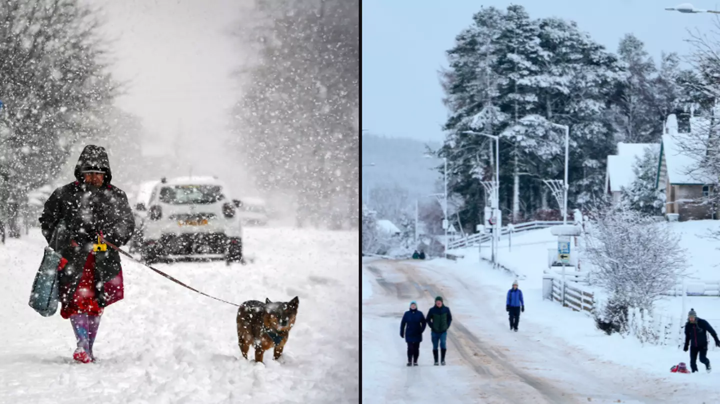

It’s cold. Like freezing cold. Like really, f**king cold.
And just when you thought you couldn’t fit in any more layers as you sit at your desk typing through the chill, the weather’s about to take another turn.
Oh yep, that cold is about to get icier as the Met Office has issued new warnings for areas of the UK. When’s summer back again?
Advert
Across the country this weekend, there’s now a number of National Severe Weather Warnings in place.
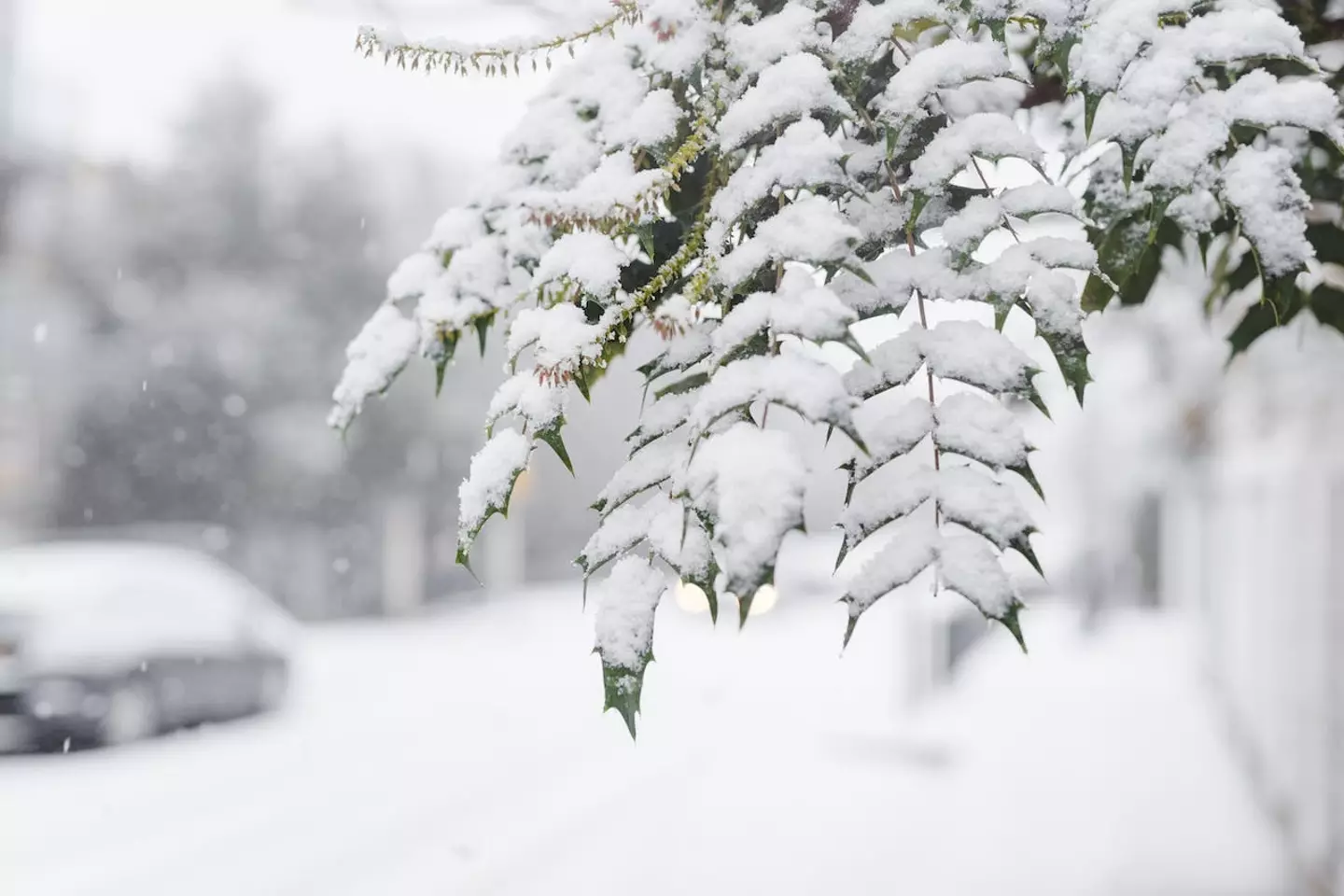
The Met Office have warned that the UK ‘continues to be in the grip of cold air from the north, bringing freezing temperatures, widespread frosts, patchy freezing fog and snow’. Yes, there’s a snow warning.
An amber warning for snow is in place around Cumbria for the rest of Saturday (2 December).
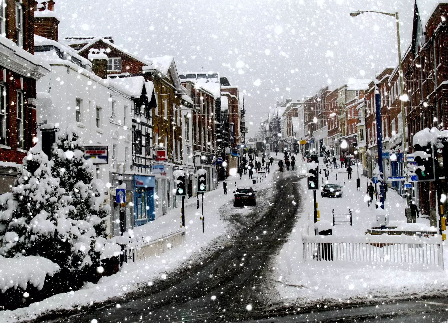
Covering a wider area, stretching up to Carlisle, there has been a yellow warning for snow and ice in place since last night until 11am tomorrow (3 December).
Stretching across areas of Wales, Manchester, Birmingham, Nottingham, Hull and Middlesbrough, there is a yellow warning for snow and ice in place from 6pm, tonight until midday tomorrow.
Advert
And unlucky for any southerners, a yellow warning for ice will come into force over night until 8am, covering London, Peterborough, Oxford and Norwich - so it’s going to be a frosty Sunday that’s for sure.
Met Office Chief Meteorologist Jason Kelly said: “Snow could be heavy at times across Cumbria with the odd rumble of thunder. 10-15 cm of snow is possible before showers begin to ease overnight.
“A low pressure system will bring less cold, but more unsettled weather for southern parts of the UK from tonight onwards, although northern areas will continue cold with wintry showers and sharp overnight frosts.
“Many areas of England and Wales areas can then expect spells of rain for the start of next week, which could be heavy at times with a risk of flooding. Some higher hills across parts of north Wales and northern England could see further snow.”
Advert
The full list of areas impacted by this nasty change in weather include:
- Lincolnshire
- Essex
- Norfolk
- Southend-on-Sea
- Suffolk
- Eilean Siar
- Highland
- Kent
- Medway
- Darlington
- Durham
- Gateshead
- Hartlepool
- Middlesbrough
- Newcastle upon Tyne
- North Tyneside
- Northumberland
- Redcar and Cleveland
- South Tyneside
- Stockton-on-Tees
- Sunderland
- Orkney Islands
- Shetland Islands
- East Riding of Yorkshire
- Kingston upon Hull
- North East Lincolnshire
- North Lincolnshire
- North Yorkshire
One good thing to note is that the Met Office say during this time of year (late autumn and early winter), snowfall doesn’t really hang about.
This is because (no matter how cold you might feel), ‘temperatures broadly remain relatively high, especially compared with values in late winter, after the ground loses more of its warmth’.
Advert
Stay warm, lads.
Featured Image Credit: ANDY BUCHANAN/AFP/Getty Images/Jeff J Mitchell/Getty Images