
The late twenty-teens can sometimes feel pretty bleak. Everyone seems so angry with each other, the planet is literally cooking itself alive, we've got oceans full of plastic that will eventually consume us all and we constantly teeter on the edge of full-scale nuclear apocalypse.
However, we don't get lost anymore. One of the few benefits of living in these times (let's not forget that we don't all die from smallpox, typhoid, or cholera any more - thanks, science) is that whenever we're not sure where to go, we can consult the mystic oracle in our pocket and it will give us a shove in the right direction.
Google Maps has been bailing us out of tight spots for years now, and whether you are in the car (using a holder and hands free kit, naturally) or on the way to the bar, you can get directions to wherever you need to go and advice on how long it will take you to get there.
Advert
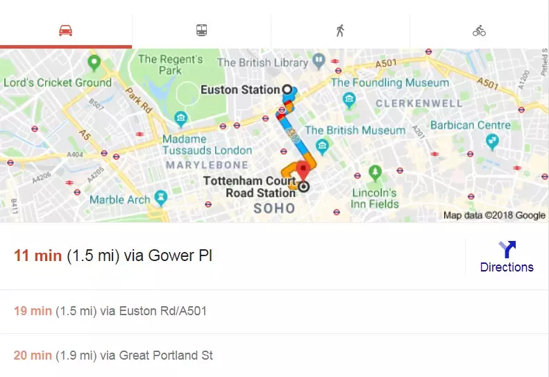
But how? How does Google Maps know how long it takes you to get somewhere? It has no idea how fast you walk, or how recklessly you drive.
The answer - you may be surprised to learn - is maths!
Since 2011 the world's most popular mapping app has used algorithms to calculate approximate times for journeys. Using historical and current data it basically makes a guess. It's got access to relatively accurate data as well as around 35 million miles are driven by those using navigation every day.
Oh, and you're helping out too. If you've got Google Maps open (on your iPhone) or are allowing location services (Android users) you are anonymously sending data back to the app that it then factors into the calculations it makes - which is only a little bit creepy.
Advert
This means that if you are in a busy city centre you are more likely to get accurate information back as more users are on the streets. It would also go some way to explaining why we're always hearing about people who have blindly followed their sat-nav into a ditch in the middle of the countryside somewhere.
One other clever feature is that it learns over time what roads are like. Basically, the more info the app has about your road, the better it will be able to predict what it'll be like on there.
This is not foolproof - accidents happen and all that - but it is pretty damn good.
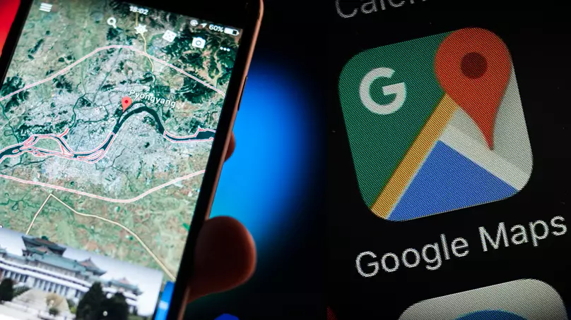
Google Maps is now available in over 60 countries worldwide, and they're trying to improve that number.
Soon you'll be navigating your way around downtown Pyongyang no problem.
Featured Image Credit: PATopics: Google, Phones and Gadgets, interesting facts, Interesting, Google Maps, Technology