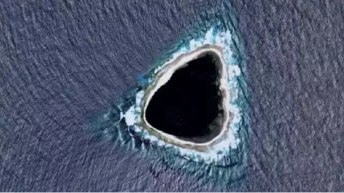

The mystery of a 'black hole' spotted on Google Maps has been solved - and I'm sorry to be the one to tell you all, but it's not some sort of top secret government conspiracy after all. I know, I'm as disappointed as anyone.
Last month, an eagle-eyed Reddit user came across the black spot in the middle of the Pacific Ocean, some way away from any other landmass.
To add to the bizarre blacked-out island, or atoll, Reddit users also pointed out that the sea surrounding the area looked a bit off.
Advert
Naturally, speculation went into overdrive with people guessing it could have been a military base or even the fictional island from Lost.
Google Maps has been known to black out areas it doesn't have access to or which need to be kept private, adding fuel to the fire.
However, we now know it is actually a 56-acre uninhabited island called Vostok Island, owned by the Republic of Kiribati and located around 400 miles northwest of Tahiti.
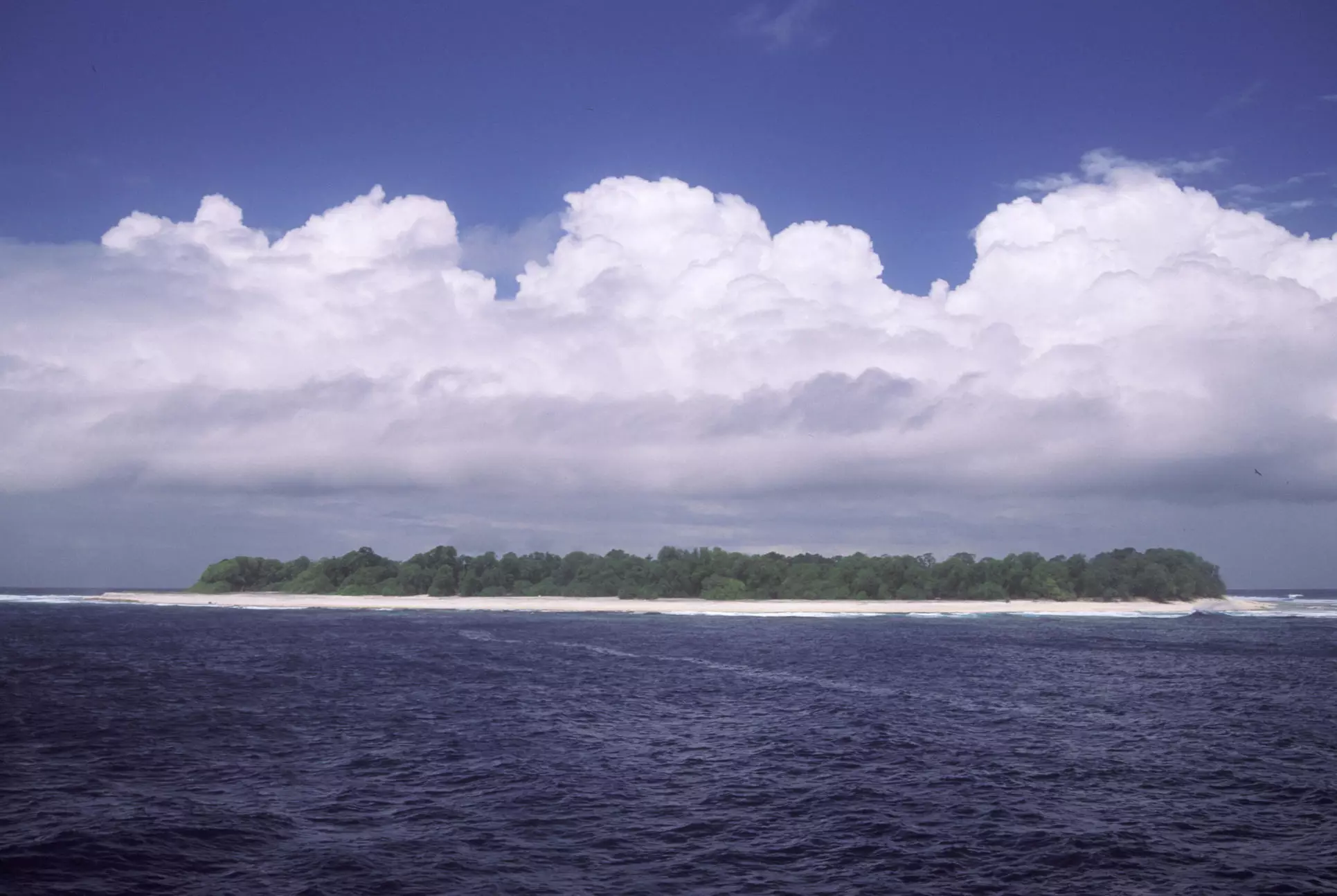
According to National Geographic, Vostok is one of five atolls in the southern Line Islands in the Pacific Ocean which are rarely visited by humans.
Advert
Explaining what it was, one Reddit user wrote: "What you see as black is actually very dark green.
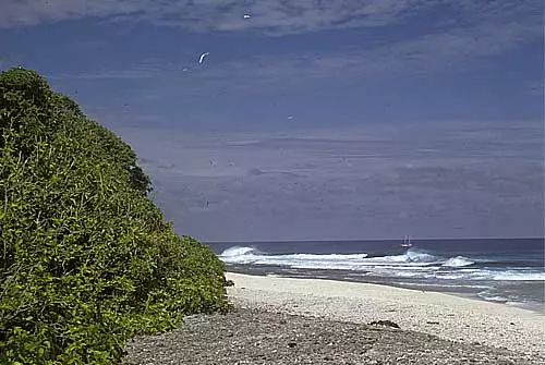
"It's a very dense forest made up of Pisonia trees."
Pisonia trees can reach almost 100ft tall, and in this case appear to have grown very tightly together meaning that the shot from above shows nothing but the dark green tree tops.
The island was first shared on Reddit last month, by a user who wrote: "What the f*** this looks nothing like an island."
Advert
And it was quickly flooded with guesses from people about what it could be.
One person wrote: "My first thought was that it's censored. It wouldn't make sense for a natural formation to be black like that in such a shallow, small atoll/island."
Another joked: "God dropped his guitar pick."
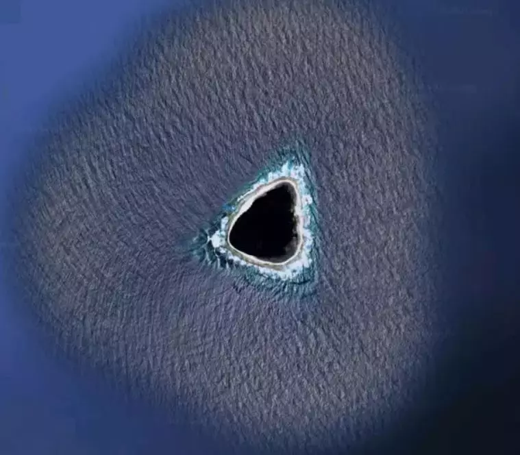
While a more detailed response read: "OK so the real answer is the blue colour around the island is a painted-in colour so the oceans look uniform in the maps.
Advert
"Islands are added by erasing some of that blue to let the satellite image show through.
"Sometimes they do a sloppy job. So what you are seeing moving inward is: artificial ocean colour, real ocean with waves, beach, island.
"As for the shape, idk man islands come in all shapes and sizes I don't discriminate".
Featured Image Credit: RedditTopics: Viral, Interesting, Weird