

It's no secret that January and February are difficult months to live in the Northern Hemisphere. Christmas is over, you're most likely skint AF and the weather is depressingly grey, freezing and wet.
Well, guess what? We're about to get more depressing, grey, freezing and wet conditions over the next 48 hours.
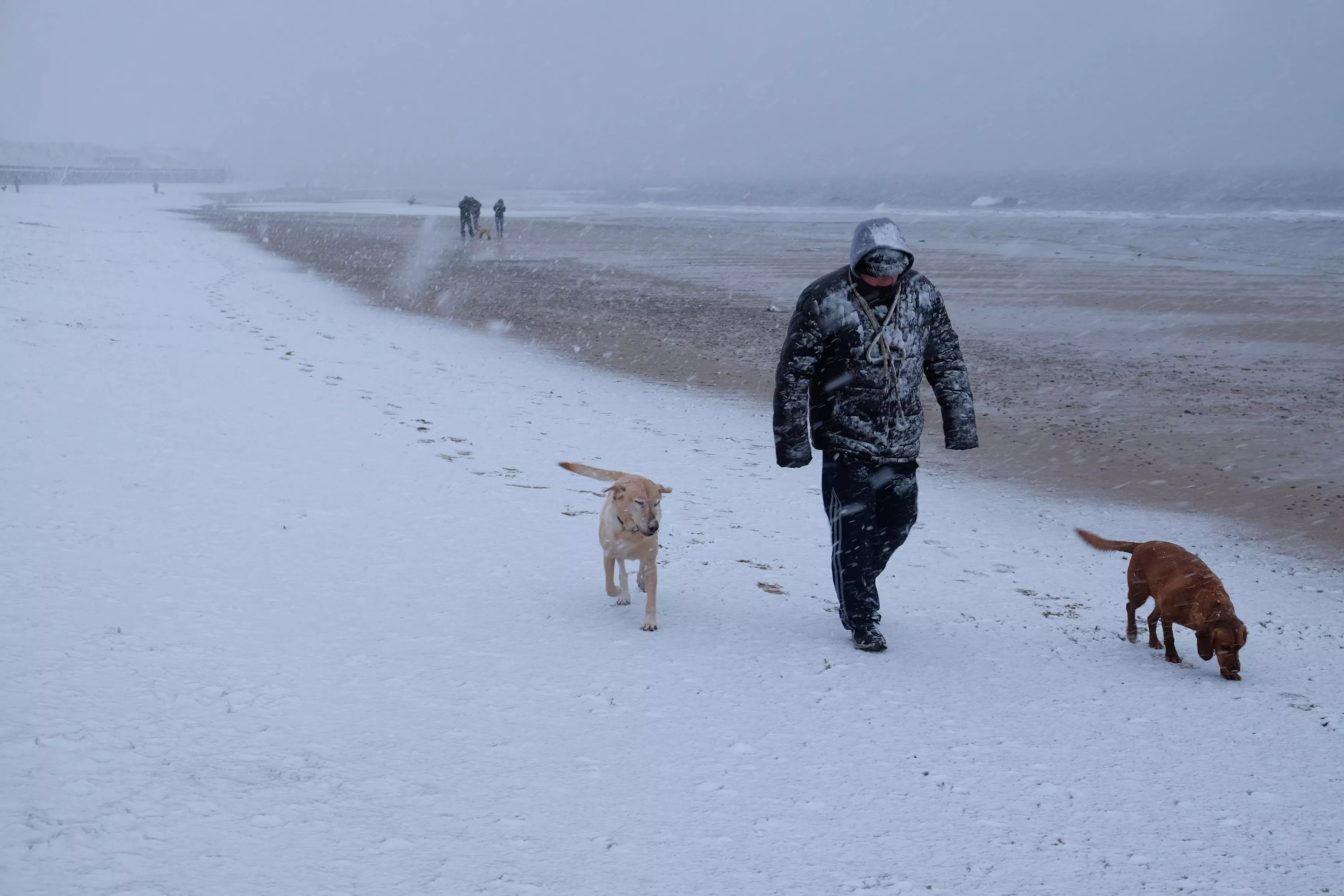
But this impending storm is expected to hit every part of the UK and bring with it some snow and sub-zero temperatures in some areas.
Later today, Northern Ireland, Wales, most of Scotland and England's north will cop the first battering around 8pm. The Met Office says there will be some roads or railways that will be affected to the point where delays will be inevitable.
Met Office spokesman Martin Bowles has told the Sun: "Tonight is going to be very cold, there is a front coming into the North West and because we have got lots of cold air there is going to be lots of snow on it.
"It is reaching north-west Scotland and Northern Ireland this evening and then it will gradually work its way into north Wales and north-west England overnight, including a good chance of some fairly substantial settling of snow in those areas."
That doesn't sound too catastrophic, thankfully.
But Tuesday is when shit is forecast to get well and truly real.
Western UK will be the first hit on Tuesday morning, with 'showers of snow, sleet, hail and thunder' expected for several hours. Luckily, the Met Office predicts affected areas should only get 1-3 cm of snow at low levels inland, however that jumps up to 5-10cm for anywhere over 200m above sea level.
So, if you're in a hilly area, make sure you get your woollies ready as there are predictions that tomorrow night could set the record for the coldest winter night this season. The lowest temperature seen so far is -13.4C. How lovely.
The higher areas of Scotland look to be in the firing line for the coldest temperatures.
Sleet and snow showers are also expected to hit England's south-east from mid-afternoon tomorrow until at least Wednesday morning.
While you might be thinking 'phew, only three days of shitty weather'', you're not going to get out of it that easily. The cold snap currently enveloping the UK isn't expected to go away until at least next weekend.
There were several accidents recorded over the weekend that resulted from bad conditions on the road, so be sure to slow down when the weather turns rough.
Summer can't come quick enough.
Advert
Sources: Sun
Topics: Winter, Snow, Weather, UK News, News, UK, Rain