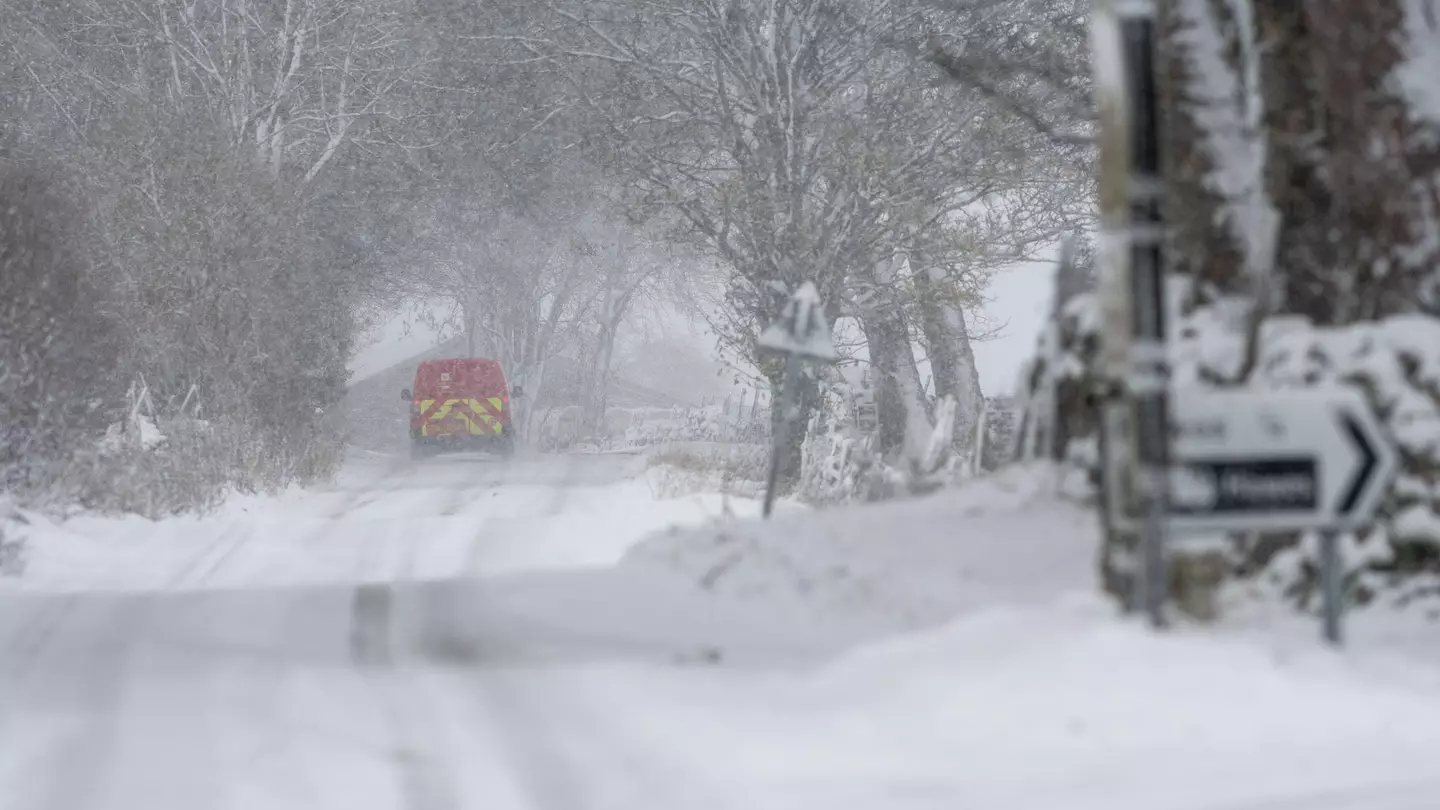

Hey, fans of being really cold, are you ready for more snow? Because the Met Office has revealed that large parts of the UK are set to see quite a bit of the stuff next week.
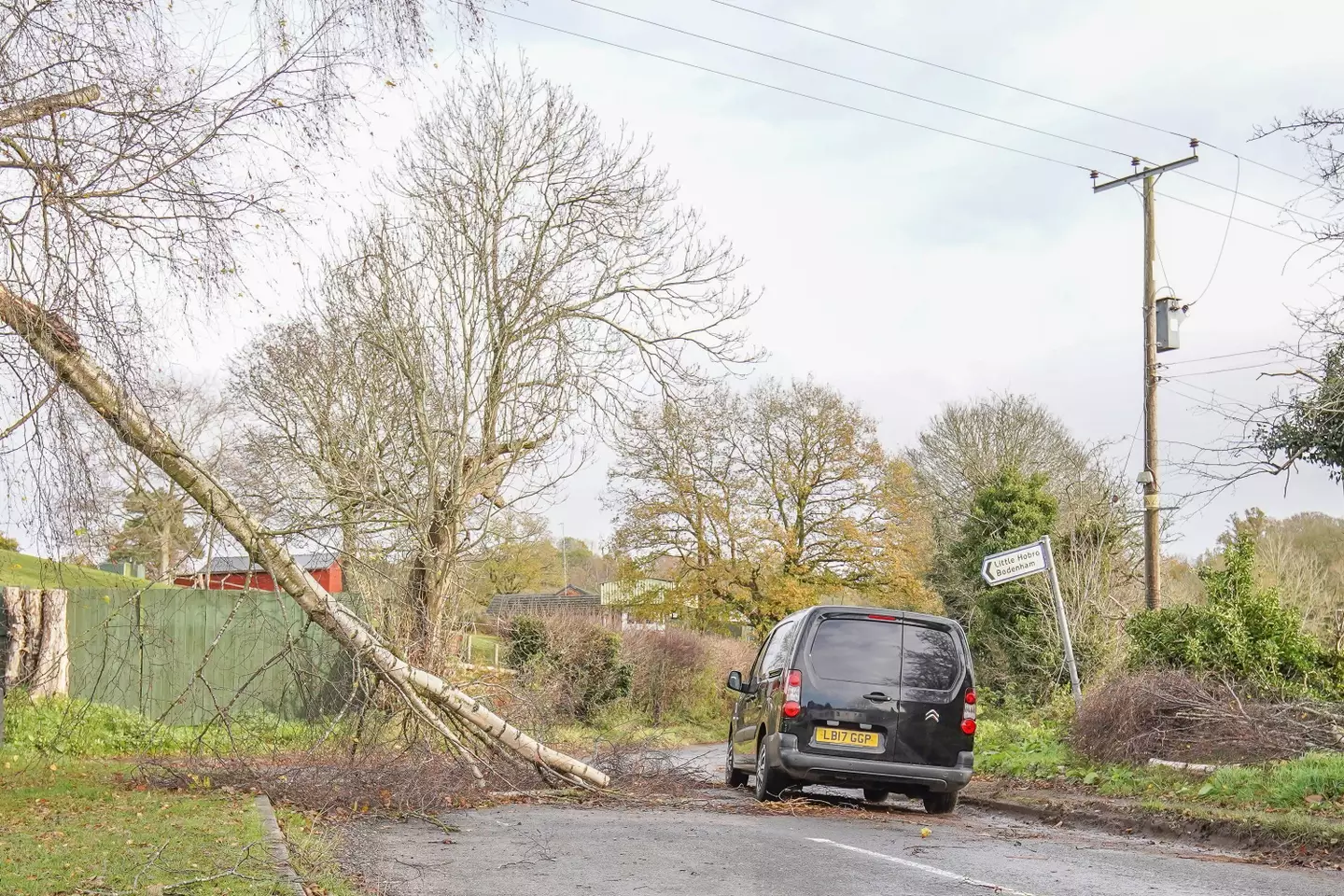
Whilst it’s obviously very festive and nice to look at, the snow and wind could provide people in certain parts of the country with some problems, given the impact that Storm Arwen had recently.
Alongside the expected snow, there will also be strong winds and – where there isn’t snow – plenty of rain.
Advert
Not great if you’re in an exposed area, or maybe amongst those who haven’t even got their power back on from last time.
You should be especially careful about booking tickets to an Oasis tribute concert on top of the moors of North Yorkshire, too.
The weather is expected to start on Tuesday, and could continue for nine whole days, which may test the resolve of even the most Christmassy of people.
Advert
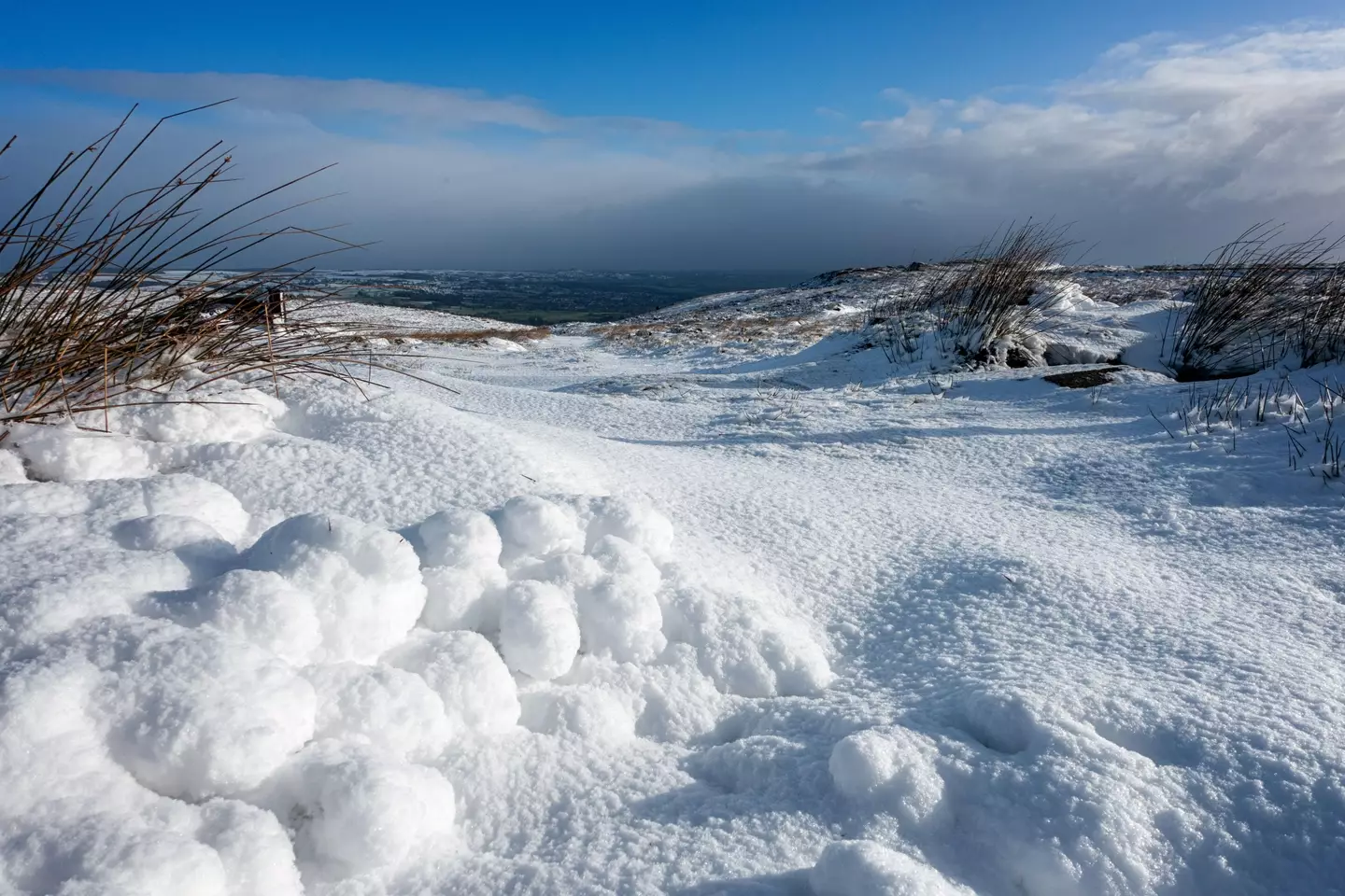
There are yellow warnings for snow up in Scotland and the North of England, whereas there are warnings of wind in place for the rest of England and Northern Ireland.
The winds will probably come accompanied by torrential wintry rain and gales, with four inches expected in some places and gusts of wind that could reach as much as 70 miles per hour.
‘Tis the season, eh?
The storm that is expected has been named Barra by the Irish Meteorological Service as well as the Met Office, and it could even arrive before Tuesday, according to some predictions.
Advert
Frank Saunders, a Chief Meteorologist at the Met Office, said: “Strong winds arriving across the west through Tuesday morning, will spread inland and reach eastern areas through the afternoon and early evening. Gusts of 45-50 mph are expected widely, with 60-70 mph in exposed coastal locations. The strongest winds will ease across inland areas into the overnight period.”
Deputy Chief Meteorologist, Brent Walker said: “A band of rain will turn to snow across northern England and Scotland through Tuesday. Two to five cm of snow is expected to accumulate quite widely across the warning area, but locally this could reach ten cm, particularly in parts of the Southern Uplands and Highlands.”
He added: “Strong south-easterly winds will also lead to snow drifting in places, particularly over the highest routes, adding to poor visibilities.”
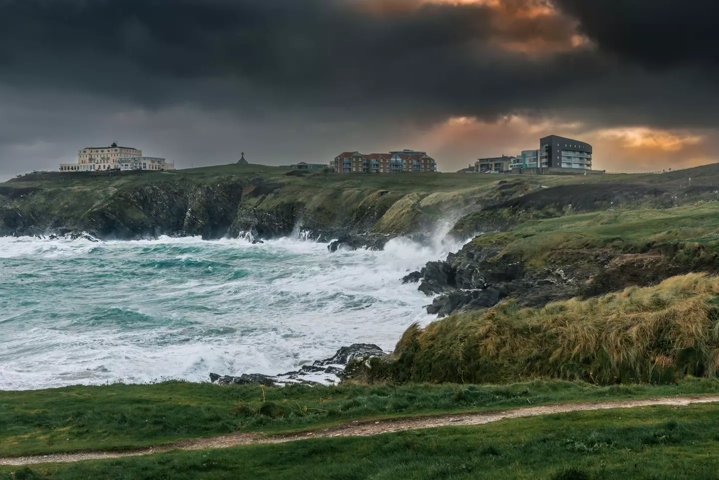
Jim Dale, a meteorologist for the British Weather Services, told The Sun: “A low-pressure system is deepening very rapidly, and it could generate something which will warrant another named storm.
Advert
“South-western parts of the country will be worst affected, and the main issue will be the wind although there is the potential for rain and for showers to turn wintry.
“We will be keeping our eye on this system, which has the potential to whip up gusts of 60 to 70mph.”
The weather forecasters have not yet ruled out a White Christmas yet, either.
December looks set to be a cold one, so we’ll just have to wait and see.
Featured Image Credit: Alamy