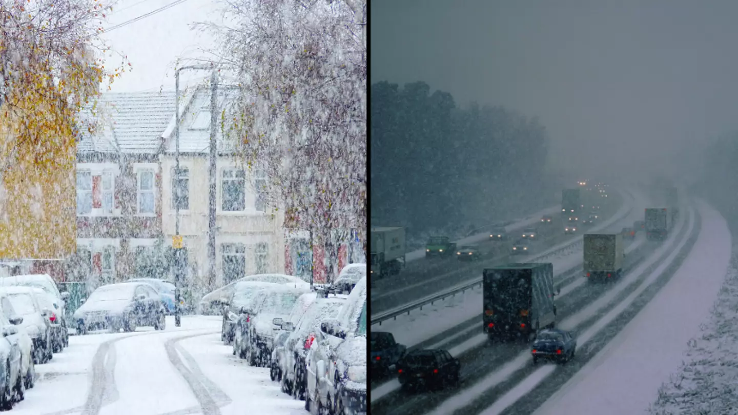

If you were hoping for a white Christmas a few weeks ago, but was instead disappointed by the mild temperatures, here’s the snow you’ve been waiting for.
Although, it’s not quite the type of snow we’re after.
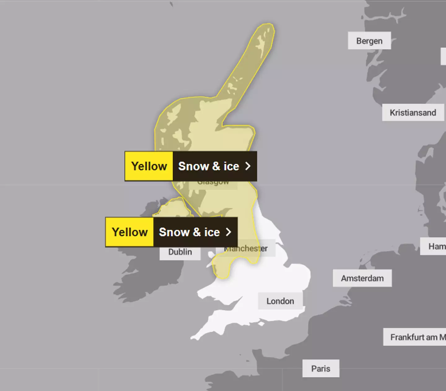
The UK is set to be hit by snow and ice both on Sunday, January 14 and Monday, January 15 after the Met Office issued yellow weather warnings to the public.
Advert
According to the update, warnings which cover northern parts of Scotland will result in travel disruption and some railways may be affected in England due to a 'snow bomb' which is around the corner.
But if that wasn’t bad enough, temperatures could plummet to as low as -5C as we prepare for the snow bomb.
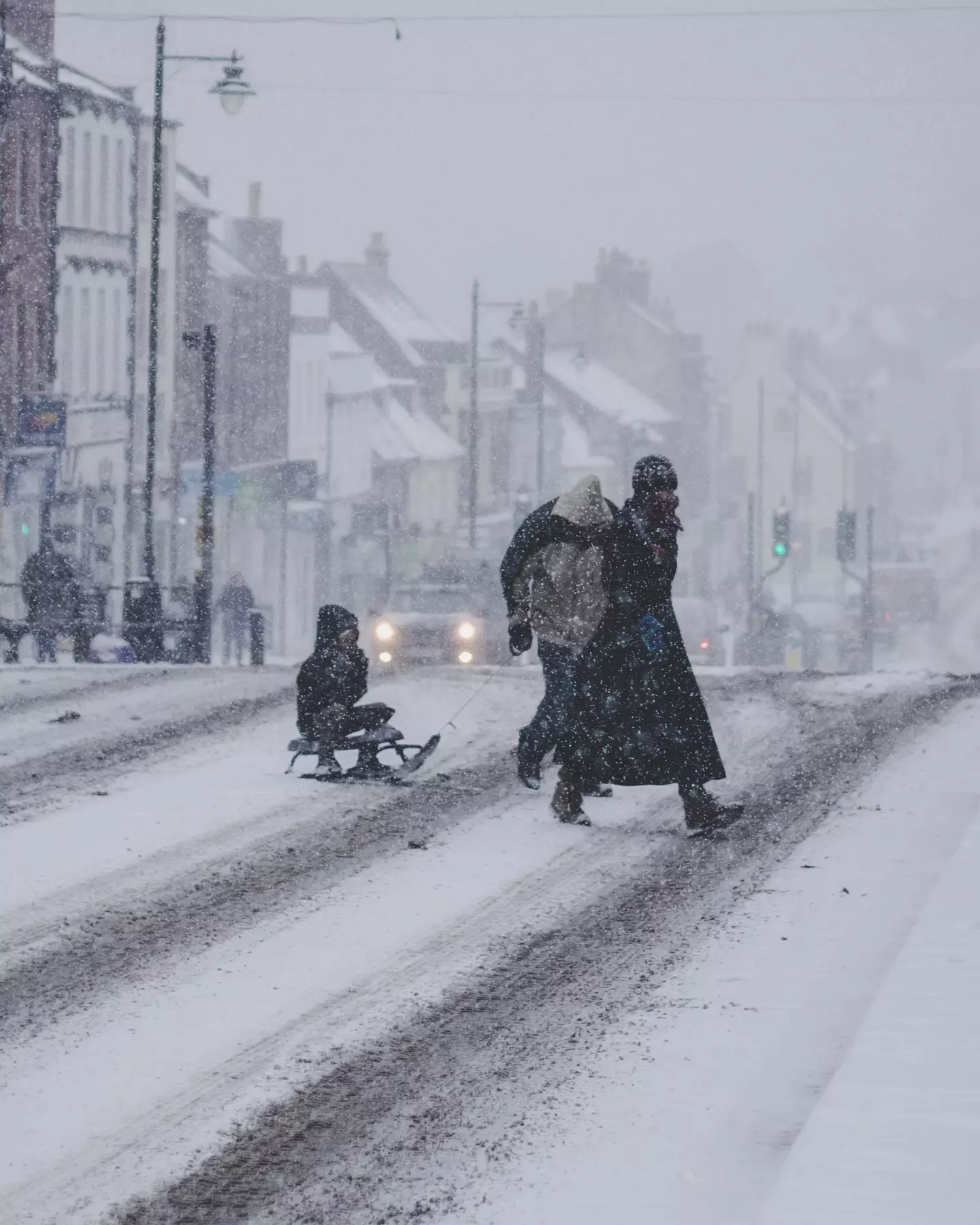
Sky News reported: “The Met Office said some roads and railways are likely to be affected, with some icy patches on untreated roads, pavements and cycle paths.
"It warned that there may also be some injuries from slips and falls on icy surfaces.”
So, what do you need to know?
Advert
The Met Office decided to issue yellow weather warnings for Scotland for Sunday and Monday.
The weather warning is also in place in Northern Ireland from 3am until midnight on Monday too, as Tuesday will be bringing in the majority of the bad weather.
This cold weather is also expected to come in on Sunday and Monday and continue until the middle of next week, with the Met Office predicting that temperatures in some parts of Scotland could drop as low as -5C.
However, areas differ as seen in Edinburgh, which has been estimated to plummet to -3C, or in Fort William which could be lower.
Advert
For Manchester, you’re looking at -2C, Belfast could be -1C and Birmingham at 0C.
David Hayter, deputy chief meteorologist at the Met Office, told Sky News : “While the initial snow risk from Sunday onwards is looking more likely to be coastal areas in the north of the UK, including North Sea and Irish Sea coasts, there’s an ongoing likelihood of some disruptive snow through the middle to latter part of next week.”
The Met Office added: “Further snow showers, perhaps merging into a longer spell of snow, are likely to cause further disruption on Tuesday.”
Advert
People should expect:
· Possible travel delays on roads stranding some vehicles and passengers
· Power cuts may occur, with the potential to affect other services, such as mobile phone coverage
· Possible delays or cancellations to rail and air travel
Advert
· A chance of injuries from slips and falls on icy surfaces
· Some rural communities could become cut off
Keeping yourself safe during these conditions is key! Visit https://www.metoffice.gov.uk/ to keep up to date on the UK weather warnings.
Featured Image Credit: Getty Stock Images