UK told to brace for polar vortex 'snow bomb' in coming hours
I know we're not supposed to be surprised when it's cold in winter - but let's be honest - we all still complain about it.
And now there's the possibility of a polar vortex 'snow bomb' on the way, and the cold weather will no doubt bring a lot more 'bloody hell it's cold init' comments throughout the UK.
The Met Office has issued yellow weather warnings of snow and ice which run from 12am on Sunday until 11.59pm on Monday.
Advert
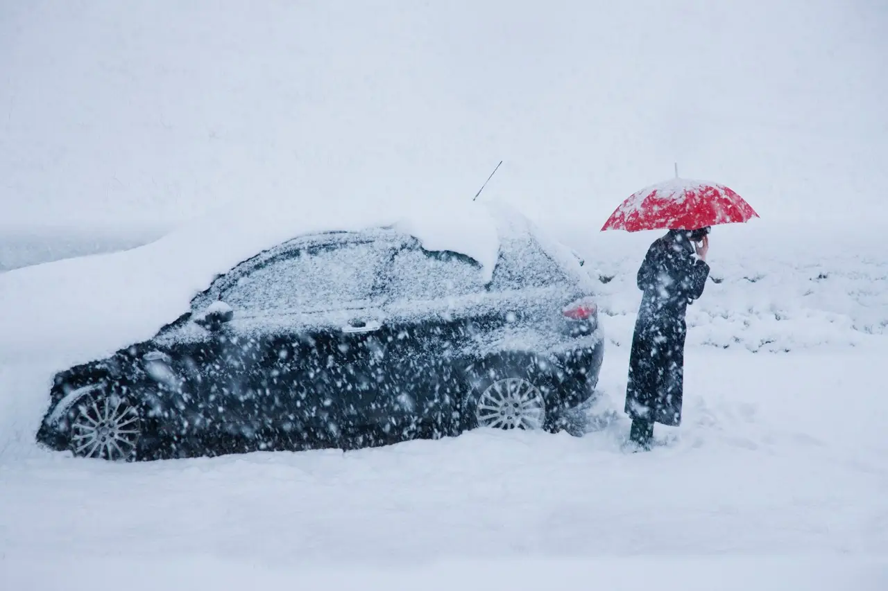
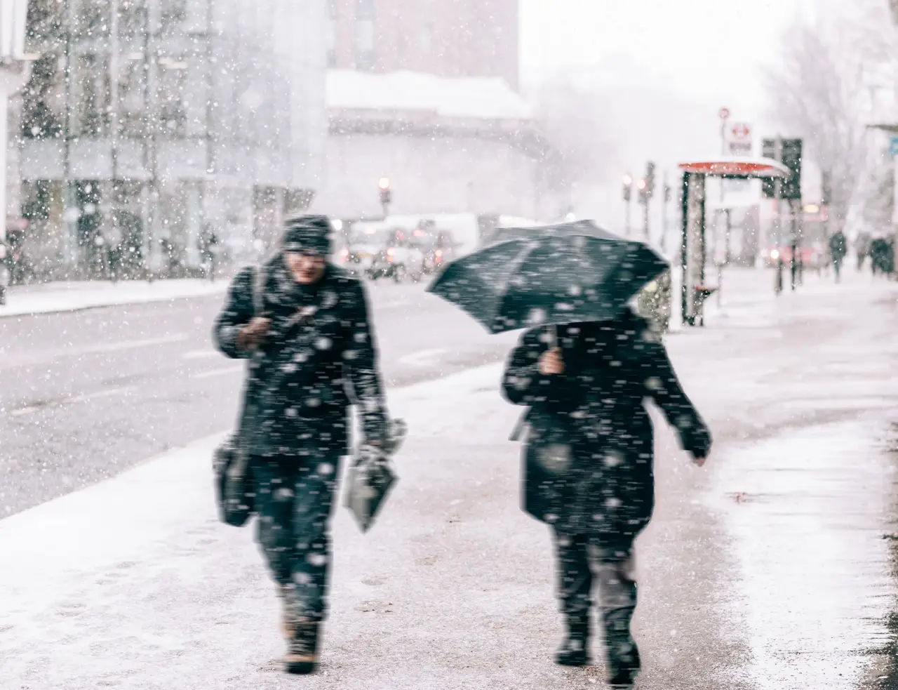
There is also expected to be some potential travel disruption.
Met Office deputy chief meteorologist David Hayter told Sky News: "While the initial snow risk from Sunday onwards is looking more likely to be coastal areas in the north of the UK, including North Sea and Irish Sea coasts, there’s an ongoing likelihood of some disruptive snow through the middle to latter part of next week."
He added that they 'keeping an eye' on where the milder air collides with cold air - which is where 'substantial snow' is likely to occur.
The warnings come in for much of the north of Scotland, spanning Stonehaven and Aberdeen in the east to Skye and the Western Isles.
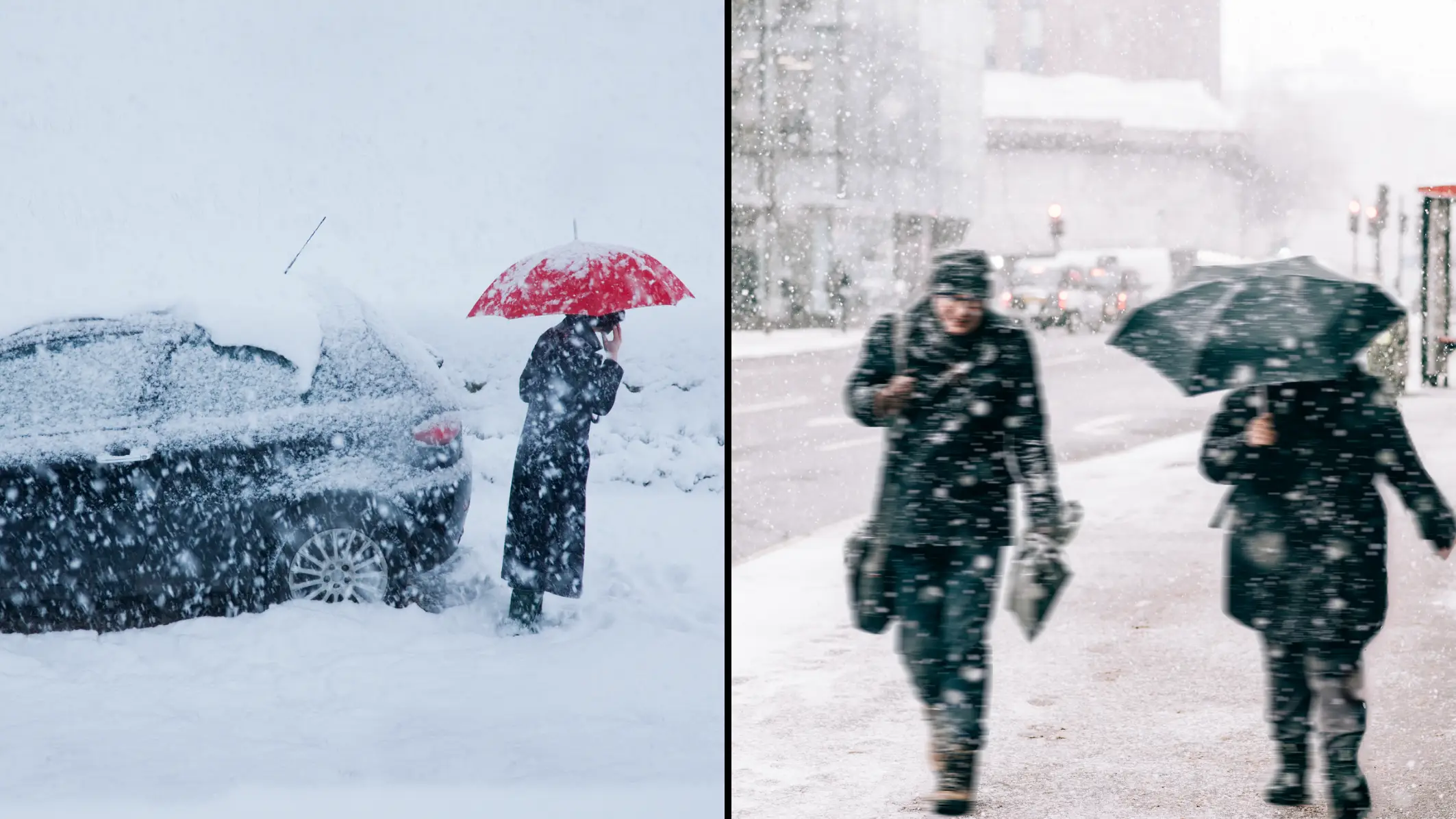
Temperatures as low as - 5C are and expected along with travel disruption on roads and railways, causing longer journey times by road, bus and train.
Mobile phone services may also be affected, and snow-covered roads may lead to stranded vehicles.
The south will remain cloudy on Sunday, with forecasters expecting some outbreaks of rain.
Elsewhere will be colder with sunny spells and wintry showers - mostly along the coasts and in Scotland.
The Met Office has also issued a yellow weather warning of snow and ice for Northern Ireland early next week.
The warning comes into force on Monday at 3am and runs until 11.59pm on Monday.
Northern areas could see more significant snowfall on Tuesday, while there is a small chance of snow in the south on Wednesday.
The extreme cold weather might be caused by a change in wind patterns in the atmosphere, which forms a 'snow bomb' across the country due to a polar vortex.
A polar vortex is a circulation of winds, around 30 miles above the earth.
These winds can often exceed 155 miles per hour, meaning they're as strong as the strongest hurricanes (Category 5).
However, in winter, the strength of these winds can weaken causing an influence on the weather that we experience.
Meteorologists believe that the intense cold spell could see snow cover parts of the country for the first half of January.
Professor Liz Bentley, chief executive of the Royal Meteorological Society, said to Sky News: "When you get an SSW it increases the likelihood of a prolonged cold spell across Northern Europe, like the Beast from the East."