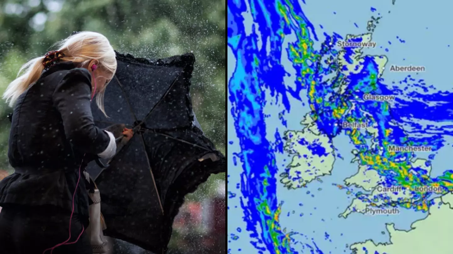

A Met Office map shows Storm Babet's progress across the UK as many of us can expect to be battered by heavy rain over the coming days.
A rare red warning has been issued for some parts of the UK, along with 'danger to life' amber warnings in parts of Scotland.
If you're ready for some bad news, check out the latest forecast below showing the storm's progress:
The second storm of the season following Agnes, which brought winds and torrential rain to the UK and Ireland in September this year, Babet is set to bring 'impactful' weather to parts of Scotland and the north of England from today (October 18).
Advert
This morning the storm has begun to cross over Britain, where it's set to stay until the weekend.
The Met Office has issued a four-day warning for most of the country, explaining that there is a small chance that communities in the most badly affected areas could be 'completely cut off, perhaps for several days'.
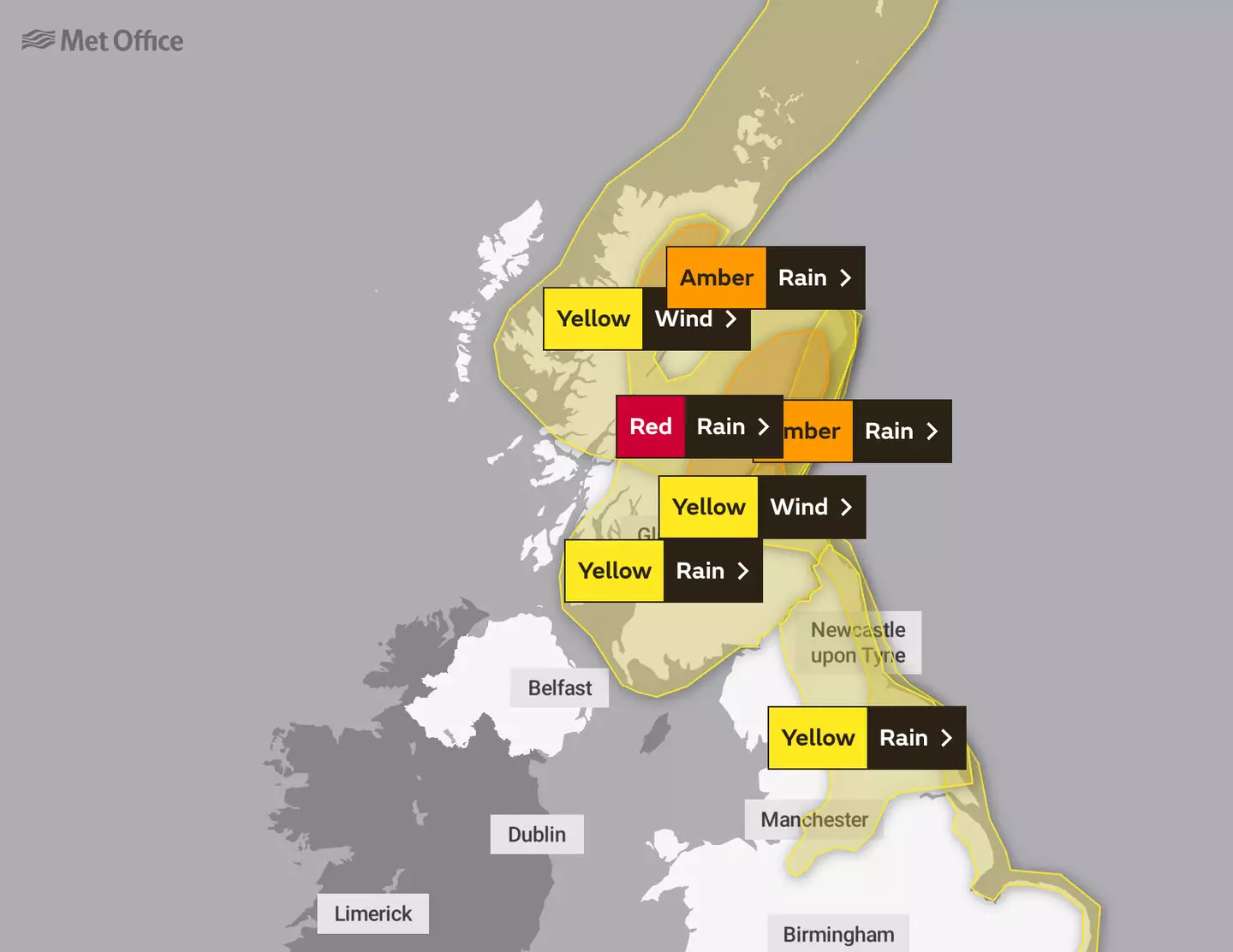
In terms of where Babet is expected to hit, deputy chief meteorologist Steven Keates explained the north of the UK is the most likely to be at risk. Yellow severe weather warnings have been issued for much of Scotland, eastern Northern Ireland, the northeast of England, Yorkshire, the East Midlands and East Anglia.
Advert
According to forecasters, as much as 150mm to 200mm of rain is expected to fall on central and eastern areas of Scotland, with a possibility of 70mph gale-force winds affecting northern parts of the UK.
"Heavy and persistent rain will fall onto already saturated ground bringing a risk of flooding," Keates added.
"As well as heavy rain, storm Babet will bring some very strong winds and large waves near some eastern coasts too. Gusts in excess of 60mph are possible in eastern and northern Scotland from Thursday."
As Babet makes its way across the UK from the Atlantic, the first yellow weather warning for rain has come into place over Northern Ireland at 6am today, with a chance of flooding to homes and dangerous driving conditions.

This will be followed by a further warning being implemented across the East Midlands to Scotland tomorrow (19 October).
Advert
Central and eastern Scotland has also been issued an amber weather warning for rain, with the Met Office explaining it could possibly pose a 'danger to life'.
A rare red warning has also been issued for parts of Angus and Aberdeenshire from tomorrow until Friday, with risks of extensive flooding, loss of power and essential services, and danger to life from fast flowing and deep floodwater.
At 6am on Saturday, the yellow weather warning for rain across eastern England and southern Scotland is expected to be lifted as Babet continues moving towards Eastern Europe.
Featured Image Credit: Flickr/Met Office