Met Office gives verdict on dates snow will hit as UK set for 'increasingly wintry' November
The UK could be facing snow and wintry weather in the near future, according to a Met Office forecaster.
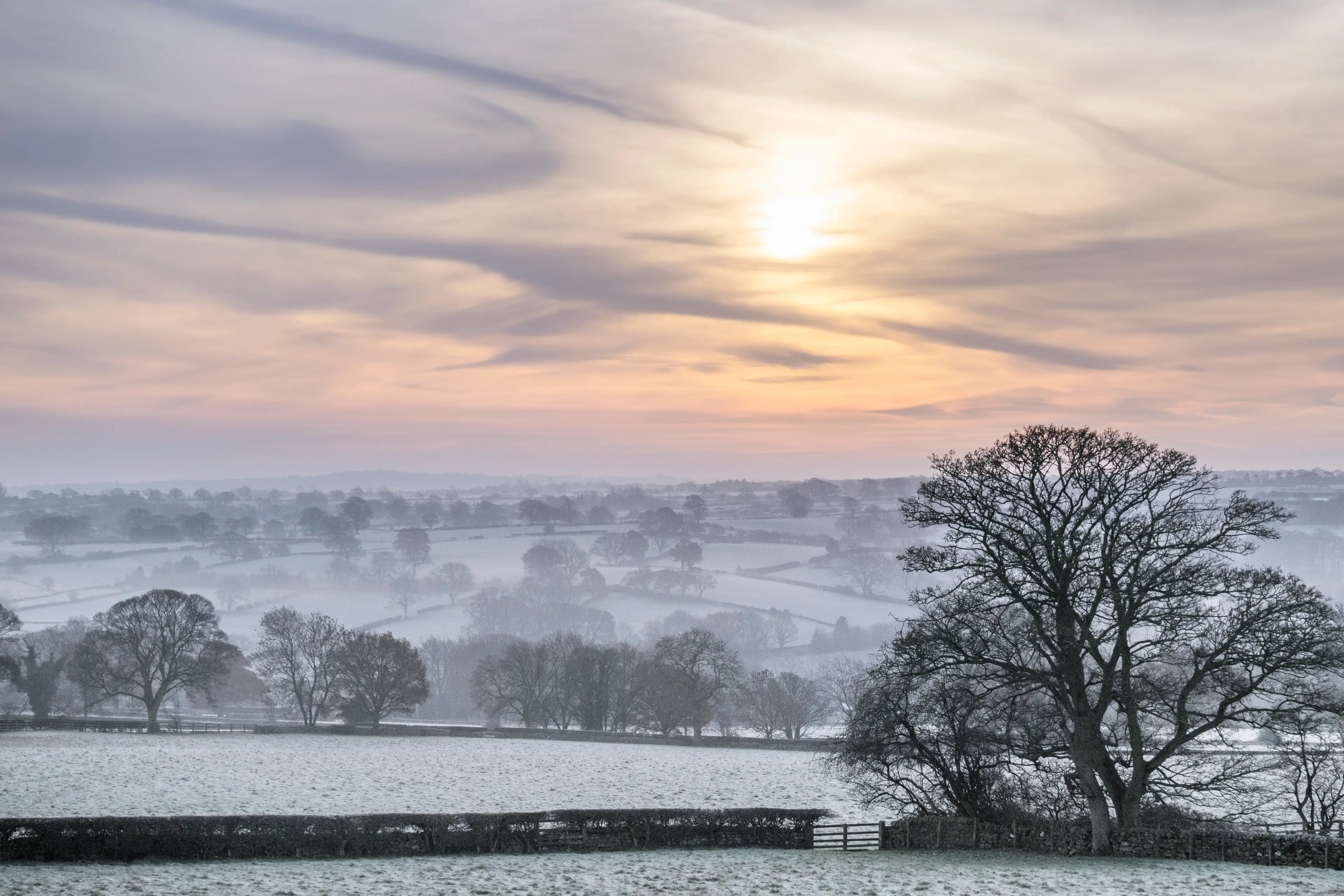
As the seasons turn, the hour has gone back, and now the evenings are darker, things are turning colder, and the UK is bracing itself for a long and potentially cold winter.
So far, it’s just been really wet, with Storm Babet just passed and Storm Ciarán on the way in later this week.
It’s hardly a winter wonderland just yet, but things could be set to change pretty soon.
Advert
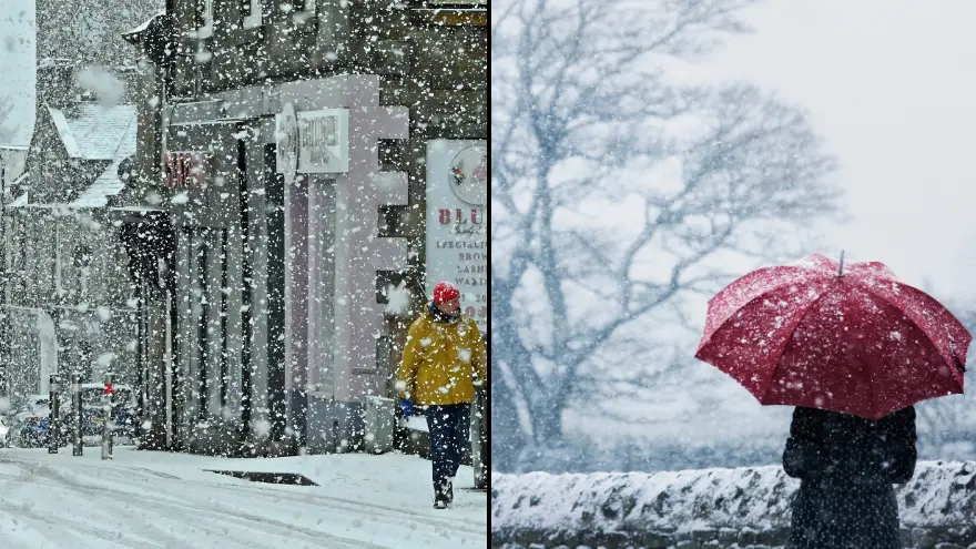
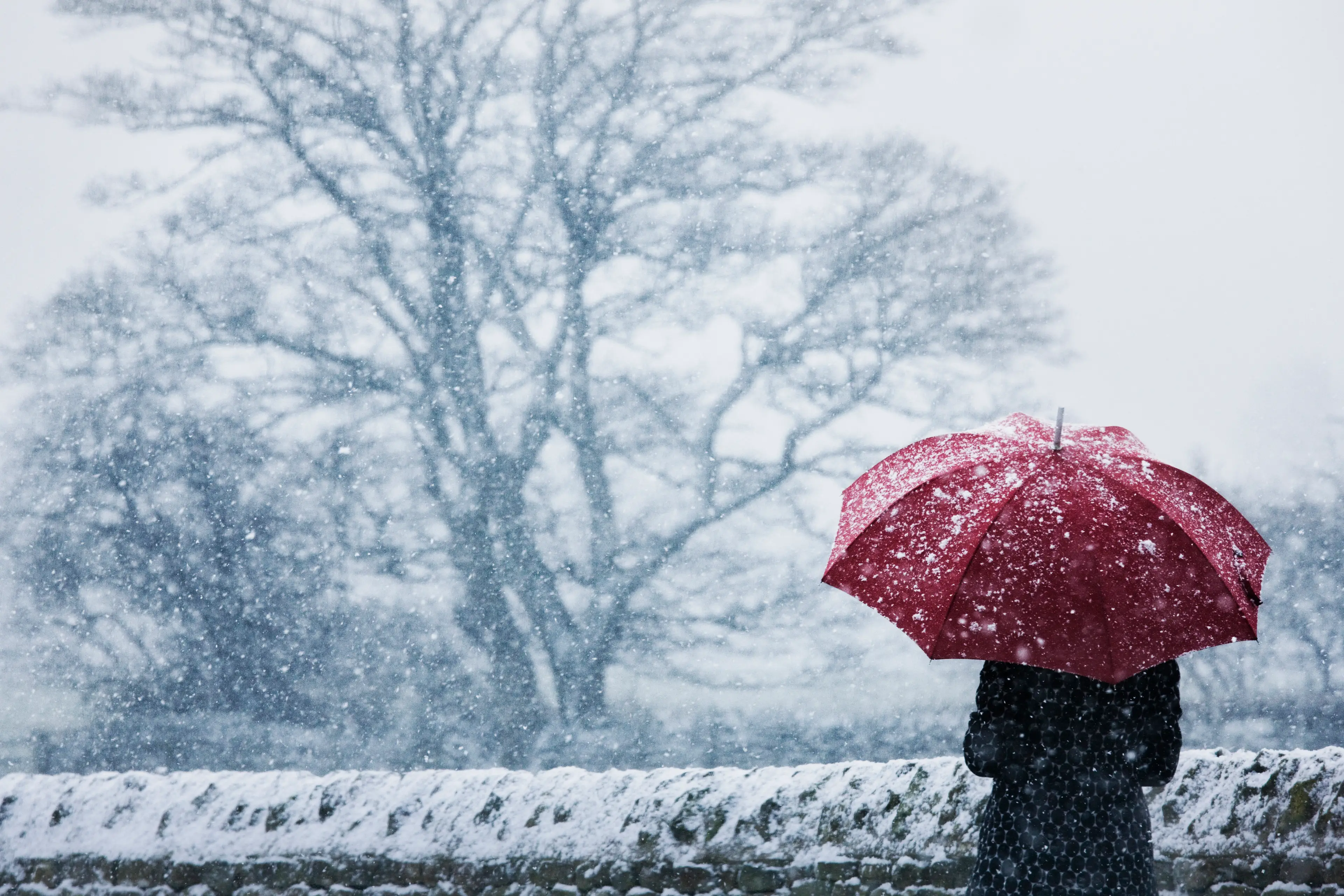
According to the Met Office, we could be looking towards some ‘increasingly wintry’ weather across the UK through ‘late November’.
At least we’ve got a while to prepare for it, then.
Time to get that big coat out of the wardrobe and locate your fluffy socks, if you haven’t already.
As well as the snow - as you might expect - there will also be some heavy rain alongside it, and you might only see that if you’re in more southern and lowland areas, and that could bring with it more flooding.
Chris Almond, the Deputy Chief Meteorologist at the Met Office, told The Mirror: "As would often be expected in late November, some of the precipitation is likely to turn increasingly wintry, mainly on high ground in the north.
“Winds associated with Storm Ciarán are likely to gust to 80mph along the south coast of England, with a small risk of somewhere exposed seeing 90mph, and winds could even gust up to 50 or 60 mph further inland.
“This deep low-pressure system will also bring heavy rain to much of the UK, but the heaviest rain is expected in southern and western areas with 20 to 25mm quite widely across the region but up to 40 to 60mm potentially over higher ground.
“Heavy and persistent rain will fall onto already saturated ground bringing a risk of further impacts such as flooding in areas that are already struggling to clean up from the heavy rainfall we have seen over the last week or so.”
Because temperatures are set to drop early in November, there could be snow before then in higher and more northernly places.
There’s going to be frost, too.
If you live in one of those aforementioned northern or higher-up places, temperatures are likely to get below 0C, meaning you’ll be waking up to ice in the morning, and hopefully have your heating set to a timer.
Hey, it’s just normal for this sort of time of year, isn’t it?
Before you know it, it’ll be Christmas.
Hell, that'll start getting underway in about two weeks, the way things have been going.