Snow bomb set to hit large parts of the UK this week as Met Office issues weather warnings
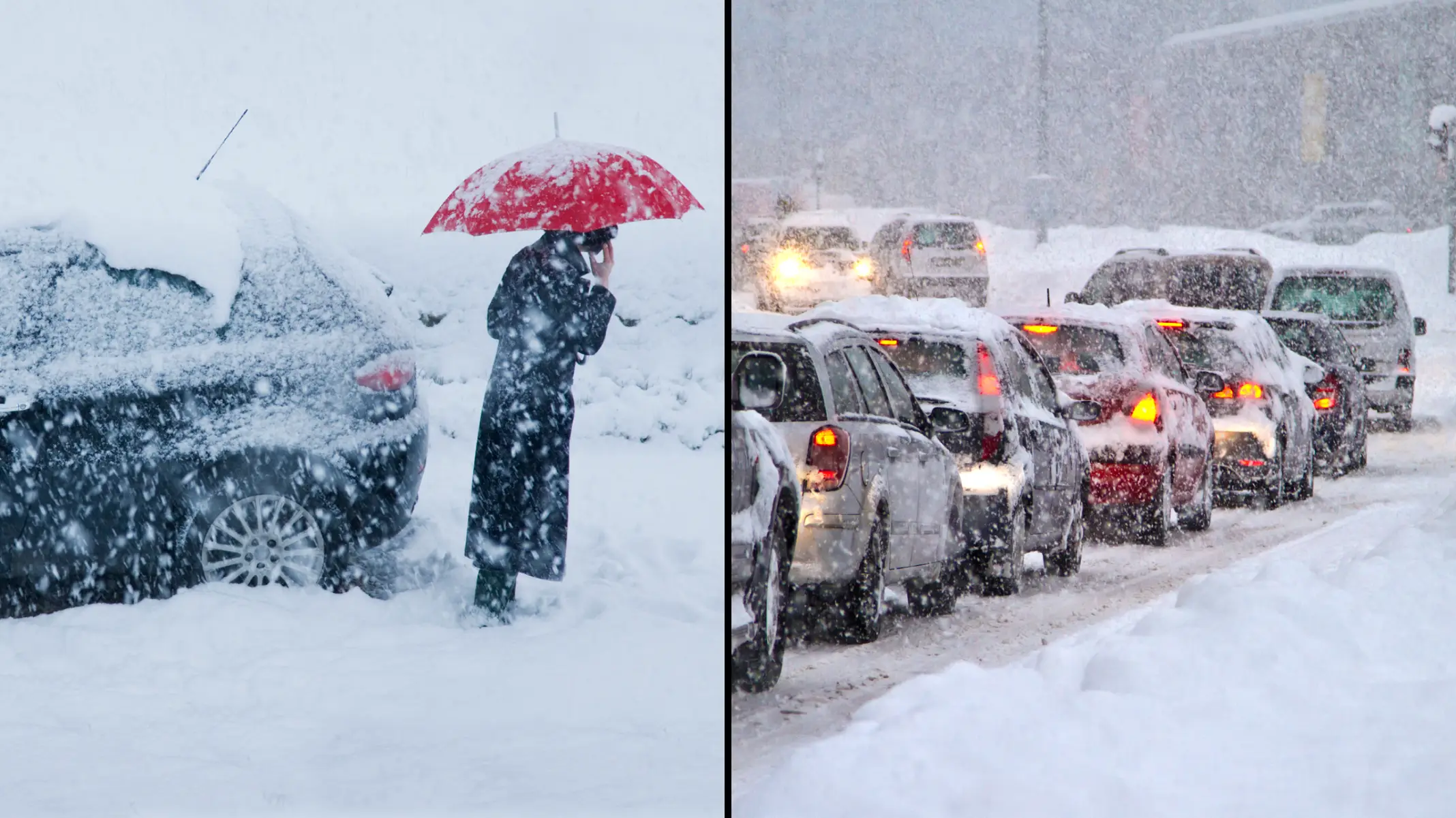
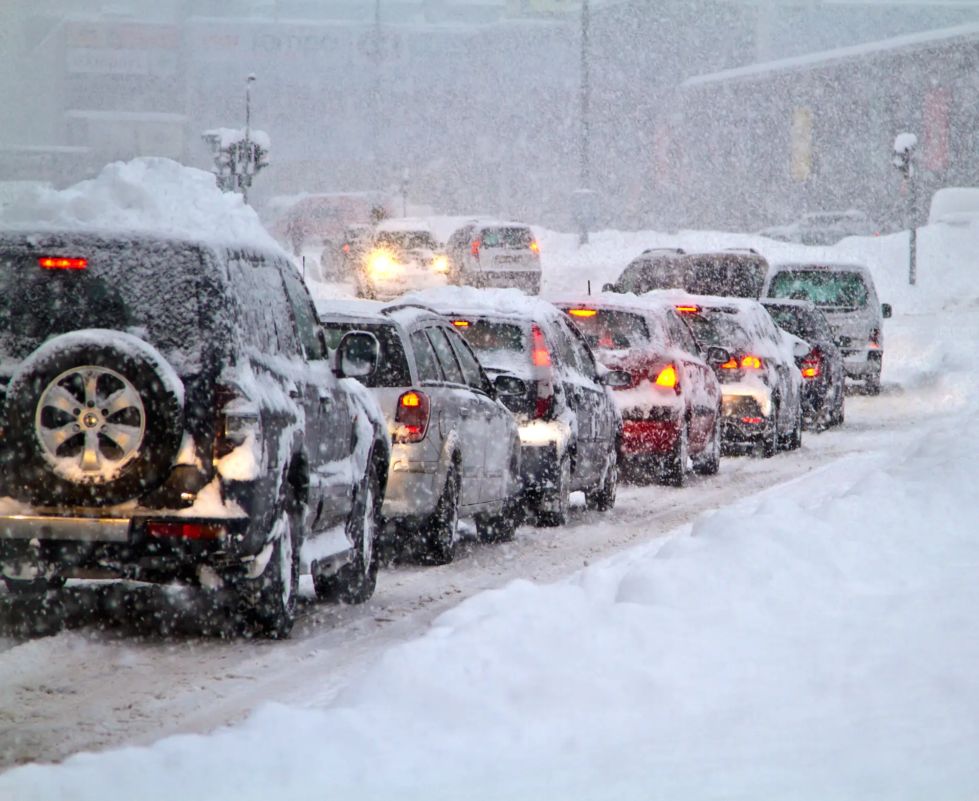
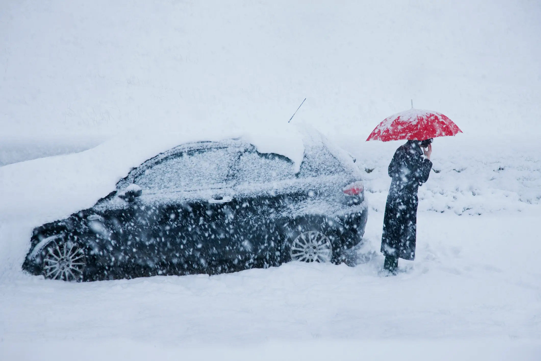
More than eight inches of snow is set to hit some parts of the UK, as almost a dozen amber and yellow weather warnings are issued right across the country.
The Met Office has issued a staggering 11 warnings across different parts of the UK from today to Friday (7 to 9 February).
Additional cold health alerts have been issued by the UK Health Security Agency (UKHSA), with heavy snow set to fall across parts of England, Scotland, Wales and Northern Ireland.
Advert
The worst hit areas will see up to 21cm (8.3 inches) of snow fall, with the Met Office warning 'some rural communities could become cut off'.
The weather service warns that people and vehicles will likely get stranded, with power cuts possible and phone service to drop out.
Drivers are worth noting the 20-second rule when driving in these upcoming snowy conditions.
Trains could also be cancelled and 'untreated pavements will become impassable' with falls and injury likely.
Two snow and ice warnings have been issued for Scotland on Wednesday, including pretty much the entire country north of Glasgow.
Thursday is when the snow bomb arrives, with 21cm expected to have settled in the Yorkshire Dales by 9am on Friday.
Two amber snow warnings are in place on Thursday across England and Wales. In England, the warning runs from midday to 6pm and impacts the Peak District and south Pennines, including Bradford, Huddersfield, and western edges of Sheffield.
The amber warning in Wales covers huge swathes of the north, including Wrexham, Corwen, and Ruthin.
On Thursday, a yellow snow warning also covers almost the entire north of England and Midlands, including all Liverpool and Merseyside, Greater Manchester, North Wales, Nottingham, and Birmingham.
There's also a yellow warning for rain across the entire south of England including Plymouth, Portsmouth, Brighton, and Dover.
Heading into Friday, a snow and ice warning is in place across the entirety of Northern Ireland, with the northern England and Midlands snow warning from Thursday remaining in place for the morning.
Met Office Deputy Chief Meteorologist Chris Almond said: “There’s an increased signal for wintry hazards as we move through the week as cold air from the north moves over the UK.
“It’s from Thursday that the snow risk becomes potentially impactful, as mild air attempts to move back in from the south, bumping into the cold air and increasing the chance of snow where the two systems meet.
"While there are still lots of details to work out, the initial snow risk looks highest in northern England and Wales from Thursday.
"One to two centimetres is possible to low levels, with 10 to 20cm possible over the highest ground within the warning area. This snow is likely gradually change to sleet and rain later on from the south.”
UKHSA has Cold-Health Alerts in force for parts of England from Wednesday, highlighting the possibility of significant impacts for the health and the social care sector.
Amy Shaw, National Network Manager at National Highways, said: “Freezing conditions bring hazards such as snow and ice, so take every possible step to understand your journey in advance and allow lots of extra time when travelling to prepare for the unexpected.
“It is therefore always important to plan ahead for your journey, check the weather forecasts, and if weather conditions become challenging, adjust your driving behaviour and take extra care.”