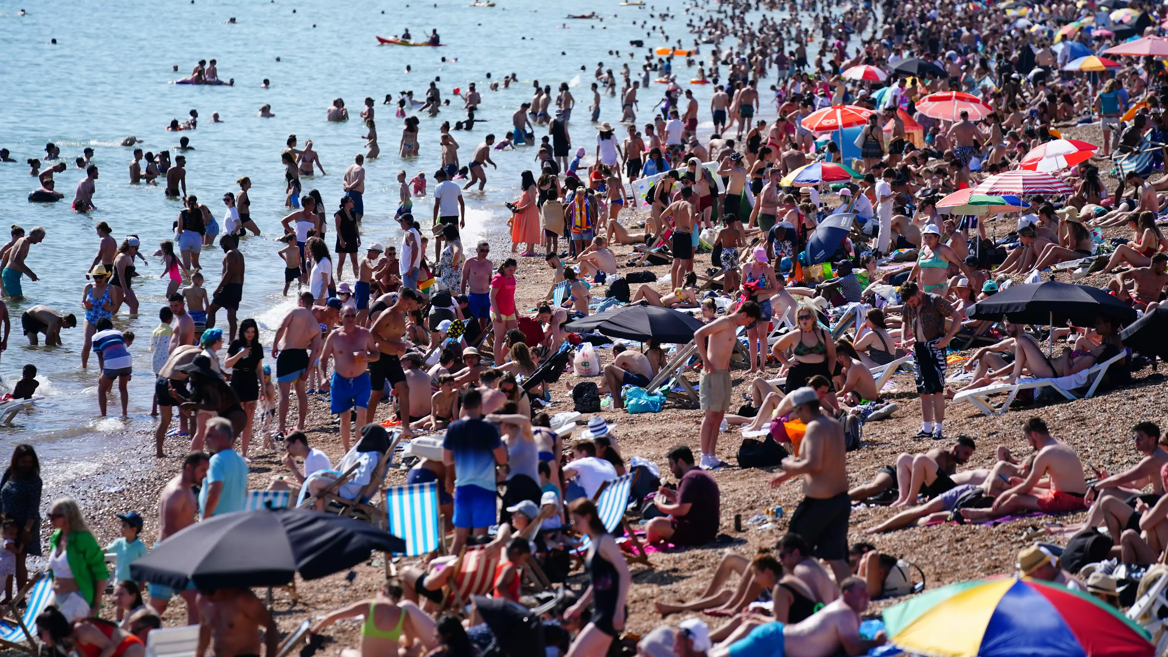
If you haven't had enough of the hot weather this week, fear not. The Met Office is now predicting a two-week heatwave next month.
Experts are expecting to see a continuation of sweltering temperatures, with 2 to 16 of August set to be another scorcher.
According to reports, the Met Office believes that more warm weather could continue in the coming weeks.
Advert
The body explained: "By early August, warmer and drier-than-average conditions look likely to return for much of the UK, although there is an increased risk of thunderstorms, especially in the southeast.
"Above-average temperatures continue to be signalled for much of the period, perhaps becoming very warm or hot at times in the south."

This comes after the Met Office yesterday (19 July) issued its first ever 'extreme heat' weather warning for the UK.
Advert
With temperatures set to remain incredibly warm over the coming days, experts warned that western parts of the country could see the mercury reach an incredible 33°C.
According to the centre, the amber warning has been sounded for a lot of Wales, the entire South-West of England and parts of southern and central England.
This is the first time it has been issued since the Met Office introduced its extreme heat warning service launched last month.

The Met Office's chief operational meteorologist Steven Ramsdale said: "Many areas will continue to reach heatwave thresholds but the amber extreme heat warning focuses on western areas where the most unusually high temperatures are likely to persist."
Advert
Last weekend, Northern Ireland even recorded the hottest day since records began.
On what was a positively barmy Saturday (17 July), the temperature rose to 31.2°C (88.1F) in Ballywatticock, County Down.
It broke the previous record of 30.8°C, which was first reached on 30 July 1976, and again on 12 July 1983.

The Met Office announced the news on Twitter, writing: "Today is provisionally the hottest day ever recorded in Northern Ireland.
Advert
"Ballywatticock in County Down reached 31.2°C at 15.40.
"Previously, 30.8°C was the highest temperature recorded in Northern Ireland, reached on July 12 1983 and June 30 1976."
Due to the high number of people heading towards Helen's Bay in Bangor to enjoy the sun yesterday, Translink even suspended tickets for the service, warning that trains had to operate at a reduced speed due to the heat.
Featured Image Credit: PATopics: Met Office, Weather, Summer, Northern Ireland