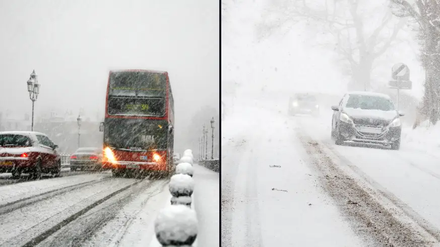
Met Office issues fresh snow warning as temperatures set to plummet
The Met Office has provided us with a fresh snow warning as temperatures are set to plummet in the coming weeks.
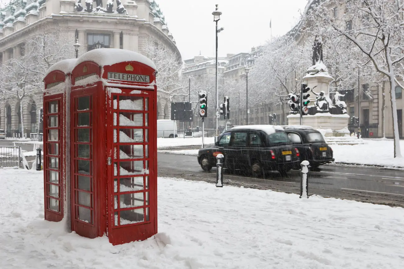
In preparation for a drop in temperature, the UK is bracing itself for what could be one of the coldest months of March ever.
As the month goes on, freezing weather conditions seem pretty inevitable as Met Office meteorologist Aidan McGivern says there is an increased risk for the start of next week of 'some disruptive snow' in places.
Advert
Despite his warning, where the snow might land was not confirmed.
However, Jim Dale, senior meteorologist for British Weather Services, told Express.co.uk that the 'unsettled' weather from 8 March onwards might bring some snow.
He added: "It will be colder in time too with some transient snow events for the north.
"That’s where we are at the moment.
"I do expect to see far more low pressure and frontal systems bringing very mixed weather, sometimes windy and stormy - making up for the lull of February but snow events will likely be transient and mainly for Scotland, in my opinion."
Bookmakers have also slashed the odds on this March being the coldest on record, as Alex Apati from Ladbrokes said: "The incoming 'Beast from the East' has forced us to slash odds on next month playing host to the coldest March on record."
On Monday, a spokesperson for the Met Office said that this Friday is likely to be 'mostly cloudy with some light rain in places, although some clear or sunny intervals remain possible'.
For this week, we can expect the possibility of colder air mainly in northern and eastern areas, which might bring some wintry showers, with a pretty low probability of widespread snow showers.

The Met Office's long-range forecast for the weekend reads: "The most likely scenario for Saturday is of a band of fragmented slight showers making some progress into the far northeast of the UK.
"Ahead of this a continuation of cloudy and cold conditions is most likely, with a few coastal showers."
Moving into next week, the outlook is more uncertain.
The Met Office continues: "There is reduced confidence heading into the rest of the period, although the preferred scenario is that the UK will see a continuation of dominant high pressure, bringing large amounts of settled weather.
"Colder air may ingress into northern and eastern areas at times, perhaps bringing wintry showers, with a low probability that these snow showers may become more widespread.
"Later in the period there is an increasing chance of it turning more unsettled, possibly bringing snow at times. Temperatures likely to be generally below average."