
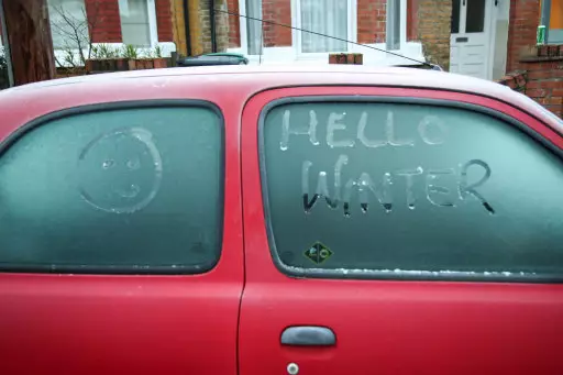
The time has come when everyone's digging their big coats, gloves and scarves out ready to face another winter in the UK.
Now it just so happens that we could be experiencing snow a lot earlier than anticipated but, with heatwaves in February, nothing can shock us anymore.
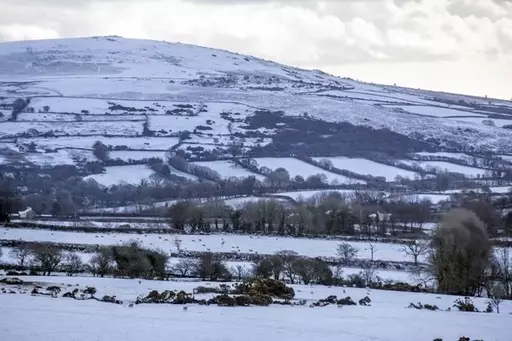
As parts of Britain have already been covered with a sheet of the cold stuff the Met Office has predicted that more could be on the horizon as temperatures plunge to an eye watering -8C.
Advert
According to The Mirror, the weather will remain cold and unsettled and the main risk of snow could be late Sunday night into Monday morning.
Further spells may be on the way through the rest of the week as well with much of the country seeing overnight temperatures near or below freezing. Time to get the thermals out.
Met Office meteorologist Luke Miall told The Mirror that any snow on Sunday night and Monday morning will likely be confined to high ground in Scotland.
Advert
He said: "It's going to stay cold and quite unsettled across the UK, similar to what we've had this week. The main risk of snow is probably going to be on Monday morning or Sunday night into Monday morning.
"Some places could wake up to covering by rush hour. As the week progresses the main risk of any wintriness will be confined to the higher ground in Scotland and perhaps over the Pennines and the mountains in Wales, especially North Wales."
October was predicted as being a 'colder than average' month with Exacta Weather forecaster James Madden telling The Mirror last month: "There is a strong chance of widespread frosts and the chance of snowfall which will set the scene for November.
Advert
"Snow events have been few and far between in recent years, but this winter is looking favourable to bring snow event after snow event as weather systems from the Atlantic clash with cold stagnated air over the UK.
"The unusually cold weather will in part be due to a period of low solar activity. This is relevant as solar energy effects ocean currents including the Gulf Stream currents which have a knock-on effect on the jet stream, bringing cold air in the UK and bringing these weather patterns.
"Applying these factors to long-range weather indications can successfully allow us to identify cold weather patterns coming up.
"Similar methods have allowed us to identify some previous record-breaking cold weather events such as those seen in 2010 and 2013 when cold weather lasted into spring."
Featured Image Credit: PATopics: Snow, Met Office, Weather, UK News, News, UK
