UK could be hit with weeks’ worth of rain in the next 24 hours, Met Office warns
After soaking it up in the sunshine for the past fortnight, the UK could be hit with weeks’ worth of rain in the next 24 hours, the Met Office has warned.
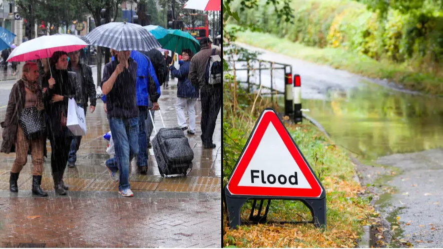
As many people fired up their barbeques yesterday (Sunday 18 June) for a Father’s Day treat, plans were scuppered as thunderstorms broke out across the country.
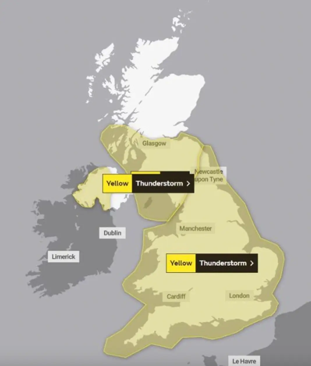
Most of the UK has been hit with Met Office warnings for rain and thunderstorms, which came into force yesterday afternoon after showers fell in areas of England overnight – with 21.5mm of rainfall in Ringley, near Manchester, and 18.6mm in Charlwood, Surrey.
As the weather warnings came into place, the forecasting body said temperatures would remain above average for the time of year, but thundery downpours were possible for some thanks to ‘a low-pressure system in the Atlantic’.
Advert
It even said the rain could prove so heavy in some regions that half a month’s worth could fall in the space of just 24 hours.
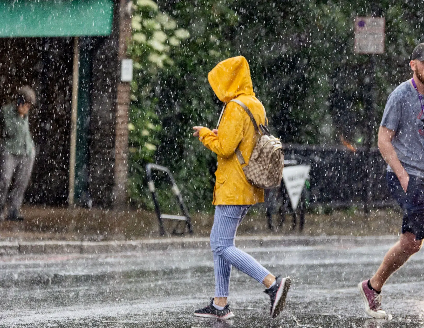
Jonathan Vautrey, a Met Office forecaster, told the Press Association yesterday evening: “Some places could see 40mm to 60mm of rain, even 80mm in some places, which is more than half a month’s worth of rainfall depending on where you are.
“That could cause some sudden flooding spray on roads which could cause some difficult travelling conditions over the next 24 hours.”
In June, the entire UK averages 12 days of rain, with a total of 77mm.
The Met Office website says details of the risk of heavy, thundery showers is ‘likely to continue early next week; with the most frequent showers more likely in the northeast of the UK’.
Sarah Cook, National Flood Duty Manager at the Environment Agency, said: “On Sunday afternoon and into the night, slow-moving heavy showers and thunderstorms could lead to localised surface water flooding across England.
“Environment Agency teams are out on the ground and will support local authorities in responding to surface water flooding.
"We urge people not to drive though flood water – it is often deeper than it looks and just 30cm of flowing water is enough to float your car.
“People should check their flood risk, sign up for free flood warnings and keep up to date with the latest situation at https://www.gov.uk/check-if-youre-at-risk-of-flooding or follow @EnvAgency on Twitter for the latest flood updates.”