Rare Red Weather Warning Issued Across The UK As Storm Upgraded
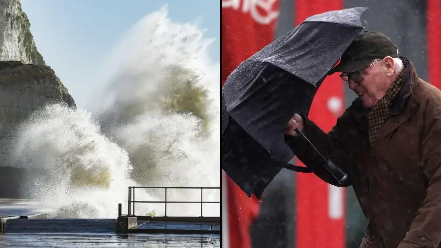
The Met Office has upgraded a weather warning for parts of the UK to red because the high winds represent a ‘significant danger to life’.
The rare red warning for wind covers southwest coastal areas of England and South Wales, where gusts of over 90mph are expected from early on Friday morning.
Much of the rest of the UK is already under a yellow or amber warning, with gusts of more than 70mph expected in areas further inland.
The last time the Met Office issued a red warning was during Storm Arwen in November last year, but this is the first time a red warning has been issued for wind since March 2018.
Advert
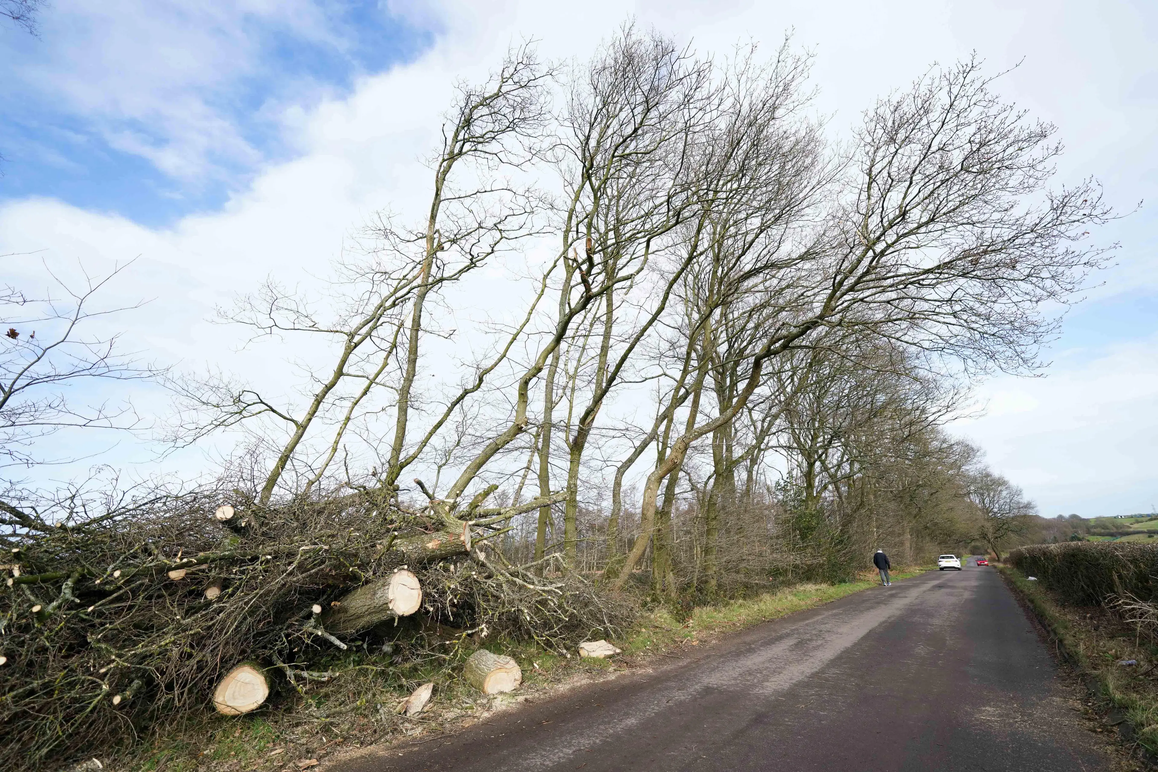
The larger amber warning is in place because of a potential for storm damage to power, travel, buildings, and trees.
However, the red warning is in place because of the ‘significant danger to life’ from damages to structures or flying debris in the high winds.
Met Office Chief Meteorologist Frank Saunders said: “After the impacts from Storm Dudley for many on Wednesday, Storm Eunice will bring damaging gusts in what could be one of the most impactful storms to affect southern and central parts of the UK for a few years.”
“The red warning area indicates a significant danger to life as extremely strong winds provide the potential for damage to structures and flying debris. Although the most exposed coastal areas in the south and west could see gusts in excess of 90mph, winds will remain notably strong further inland, with gusts of between 70-80mph for most within the amber warning area.”
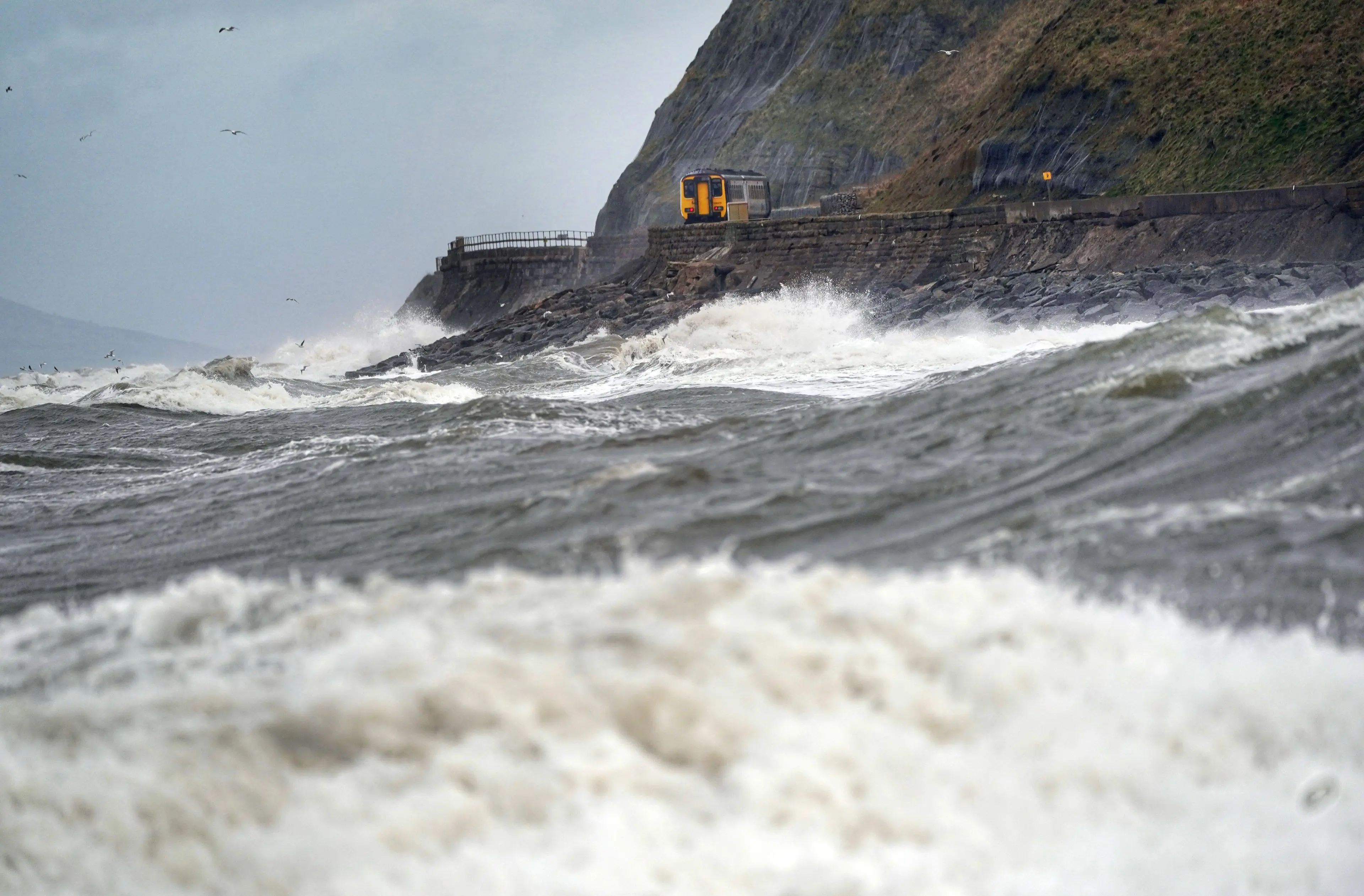
Katharine Smith, the Environment Agency’s Flood Duty Manager, added: “Strong winds could bring coastal flooding to parts of the west, southwest and south coast of England, as well as the tidal River Severn, in the early hours of Friday morning. "
"This is due to Storm Eunice resulting in high waves and potential storm surge coinciding with the start of a period of spring tides.
“You can check your flood risk, sign up for free flood warnings and keep up to date with the latest situation at https://www.gov.uk/check-flood-risk, call Floodline on 0345 988 1188 or follow @EnvAgency on Twitter for the latest flood updates.”
Those within the warning are also asked to take particular caution on roads, with the National Highways Head of Road Safety Jeremy Phillips stating: “We’re encouraging drivers to check the latest weather and travel conditions before setting off on journeys and consider if their journey is necessary and can be delayed until conditions improve.
"If you do intend to travel, then plan your trip and take extra care, allowing more time for your journey.
“In high winds, there’s a particular risk to lorries, caravans and motorbikes so we’d advise drivers of these vehicles to slow down.
“Drivers of other vehicles should be aware of sudden gusts of wind which can affect handling and braking, and give high-sided vehicles, caravans, and motorbikes plenty of space.
"In the event of persistent high winds we may need to close bridges to traffic for a period, so please be alert for warnings of closures and follow signed diversion routes.”
The Met Office advises people to avoid parking near trees, remain cautious, and prepare for the storm by securing outdoor furniture and bins.