Snow bomb is coming to the UK that will drop 'two inches per hour'
Hey! Have you been enjoying the snow that has arrived across much of the UK this week? What’s that – you want more of the same to arrive, but in greater volume?
Well, perhaps we have just the right approaching weather front for you, and it’s set to start rolling in off the Atlantic Ocean in just a matter of weeks.
OK, so trying to forecast the weather way ahead of time isn’t exactly the most exact science, but it is still a science and there are a lot of boffins who put their time into trying to understand it, and plenty of people who depend on it.
Advert
That means that we should probably listen to them a bit, even if we can’t be completely sure this is going to happen.

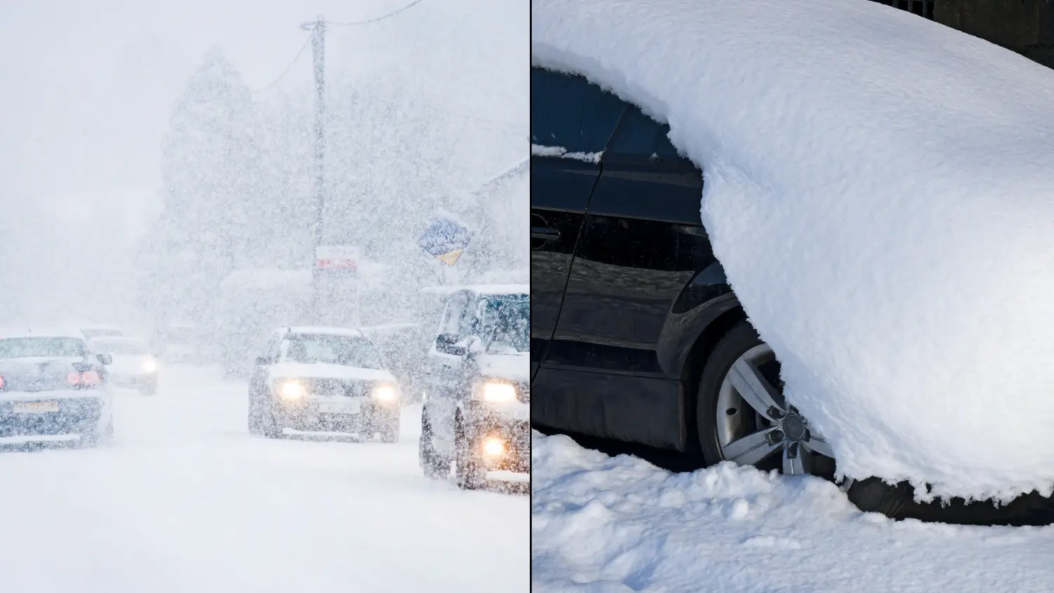
Anyway, as you’ve no doubt noticed, we have been enduring some pretty heavy snow in parts of the UK this week.
For the rest, it’s just been cold and icy, but many have seen a decent sprinkling of the white stuff, even in southern parts of England.
Well, according the WX Charts, a very technical-looking website that models the weather forecast a bit further out than the traditional forecast is willing to go, we’re going to have a decent amount of snow again as the next month begins.
This seems to be heading in off the sea from Greenland, hitting on the north of Ireland and the west of Scotland on February 2, before heading on down across large parts of Scotland and into the northern England over the course of the next day or so.
If you look at the charts, you’ll notice that the purple colour denotes where the snowfall is expected to be, with the darker colours representing heavier snow.
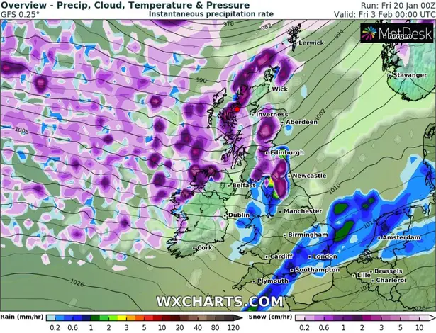
So, across loads of places it looks as if there will not only be snow, but decent amounts of it, too.
Those dark purple bits mean that up to five centimetres or around two inches could fall.
We'll cross that particularly icy bridge when we come to it, though.
Now, for the science.
According to a report in the Daily Star, Netweather’s forecaster Nick Finnis said that a ‘high latitude blocking towards Greenland’ will bring a ‘-NAO’ towards us.
That means a North Atlantic Oscillation dragging cold air towards us in a negative phase.
In layman’s terms, that means ‘wintry precipitation’ will be visited upon us.

Finnis said: "Colder conditions may spread south with a wintry risk to all parts briefly on the back of low pressure systems moving east and high pressure building to the west."
Some are even calling it a ‘polar vortex’ with meteorologist Jim Dale telling the Express: "Only stratospheric warming over the North Pole will keep us and other northern hemisphere countries in the wintry frame through February.
"It’s begun but it needs to continue, for the Polar Vortex to split and then we see where it goes."
Probably not time to be putting the big coat away in the wardrobe just yet, then.