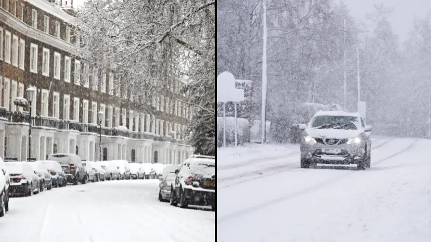
UK to face worst snow in a decade next week
That white Christmas people were hoping for is set to arrive a little late, as weather experts have predicted the UK will face the worst snowfall in more than a decade next week.
The good news just keeps on piling in, eh?
Parts of the UK have been hit with heavy rainfall this week, causing flooding and travel chaos in certain regions.
Advert
The Met Office has warned that rain and strong winds will continue to sweep across the country today (13 January) and through to the weekend, especially in Wales and western parts of England.
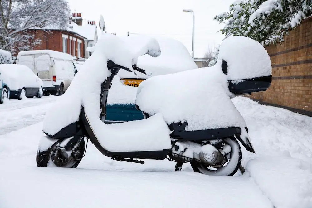
But conditions are only expected to become more extreme next week when meteorologists expect temperatures to drop down to as low as -12C in some areas.
One expert suggests the forecasted snowfall will rival the big freeze of 2009 and 2010, when nearly the entire UK was impacted by very low temperatures and heavy snow.
James Madden, forecaster for Exacta Weather, said: "There is the potential for what could be a widespread snow event across large parts of the country, and this is expected around the start of next week.
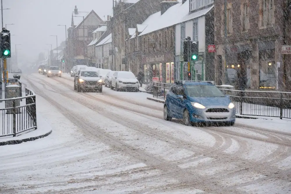
"The snow is likely to hit northern regions first, but we now expect southern areas to see some snow within this period.
"This could be heavy in parts, and lead to accumulation, and this is likely to cause disruption on the roads and travel networks.
"Northern England could see rain turning to snow in places from as early as this weekend and into Monday of next week.
"People should prepare for disruption, especially on travel networks, as consistent and heavy snow showers and blizzards hit."
Earlier this week, he warned: "The risk is increasing of snowfall which could produce similar images to the historic snow events of 2009 and 2010."
The Met Office added that overnight frost will become more widespread by Monday night (16 January), with overnight temperatures reaching below 0C across most of the country and -10C in areas of Scotland.
Deputy Chief Meteorologist Helen Caughey said: "After a spell of wet and mild weather to start 2023, a brief cold spell will change the feel of our weather across the UK for a few days next week.
"As a northerly flow establishes, we’ll see temperatures decline with overnight frosts returning and the chance of wintry showers in the north.
"It will certainly feel cold in all regions too, with the northerly winds creating a notable windchill."
That being said, the national weather service expects that the cold spell won't last as long as some have predicted.
It added: "The colder spell is expected to be short lived, with milder air moving in from the Atlantic bringing wet and windy conditions back to the UK towards the end of the week."