Met Office issues update on polar vortex as UK braces for snow and freezing temperatures

The Met Office has shared an update on the polar vortex as temperatures are set to drop and the UK braces for snow.
This year, there’s been plenty of talk about the polar vortex and its impact on our weather here in the UK.
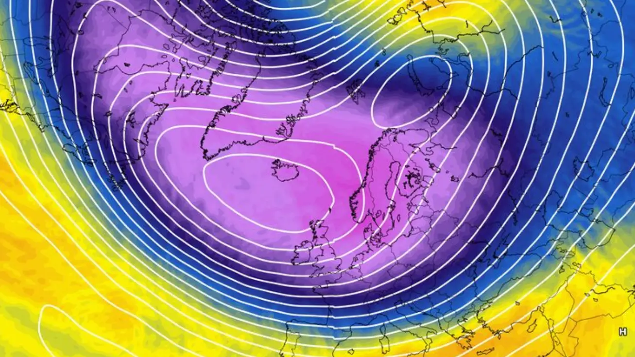
The polar vortex is a large region of very strong winds that sit high above the Arctic during the winter.
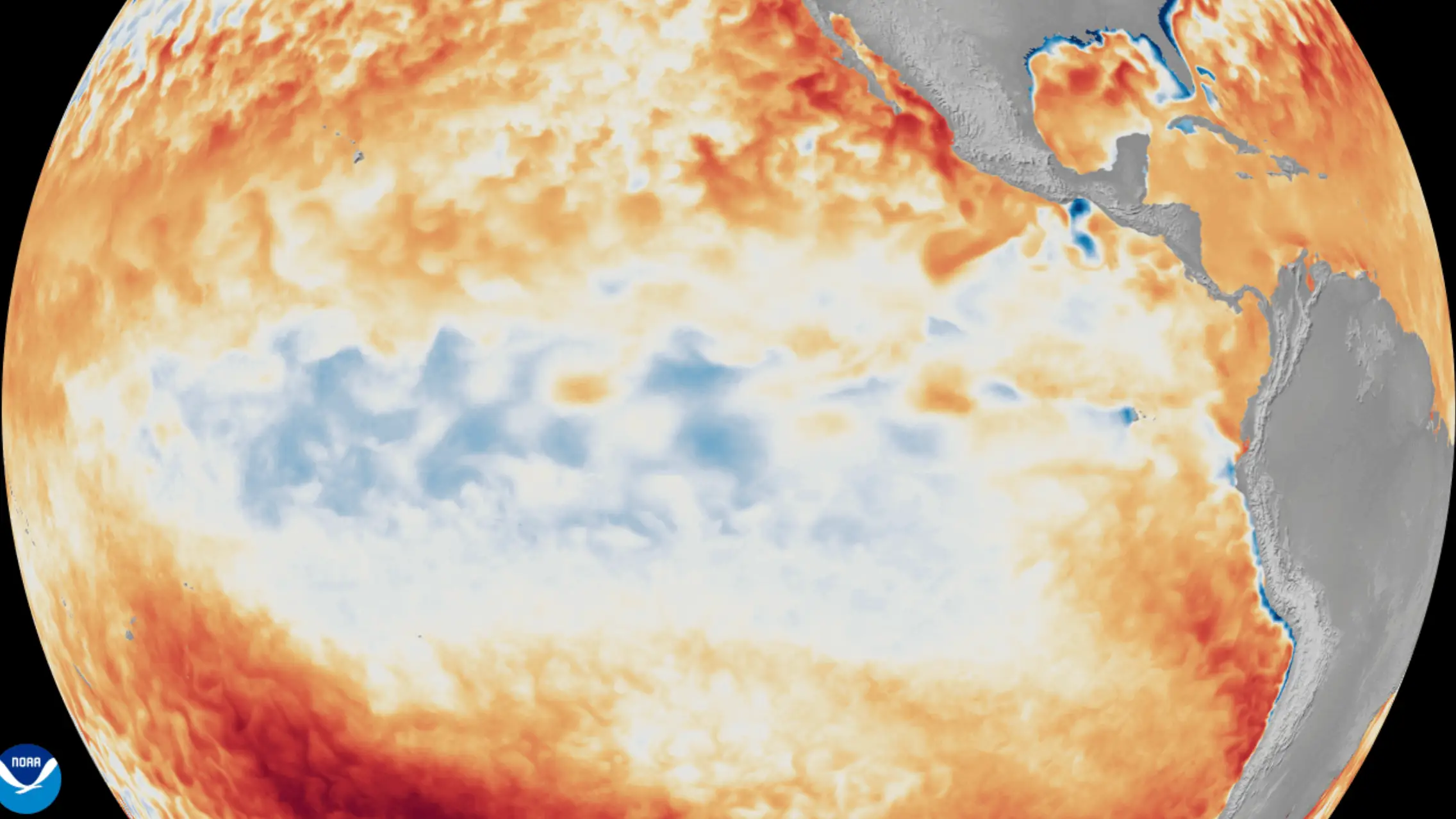
In recent weeks, it’s been suggested that the super powerful El Niño, which has been causing all kinds of weather issues across the globe, could also impact the polar vortex leading to a colder than usual winter.
Advert
But in an update earlier this week, the Met Office confirmed that the recent colder weather and fog the UK has been experiencing this week is not caused by the polar vortex.
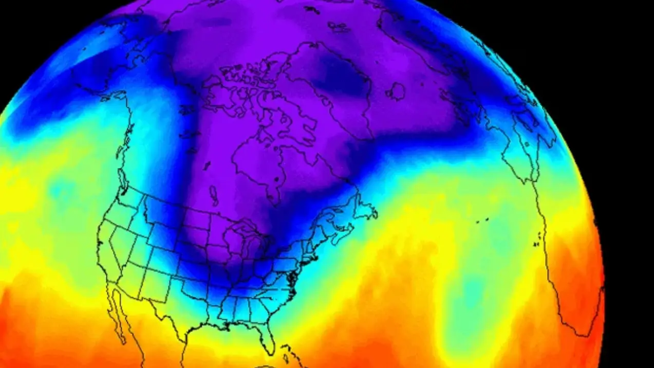
Instead, the Met Office said, it’s due to ‘developments in the troposphere’.
The Met Office said: "After a foggy start to November, the UK’s weather is beginning to change. The widespread low cloud, mist and dense fog of recent days will gradually give way to clearer skies, colder Arctic air and an increasing risk of frost and ice.
"But despite recent changes high above the North Pole, this colder spell is not being caused by the polar vortex."
Commenting on the polar vortex, the blog continued: “There has recently been some stratospheric warming and a weakening of the winds around the vortex, with a brief reversal possible. However, forecasts indicate that this disruption may be short-lived, with the vortex returning closer to its average state as December approaches.’
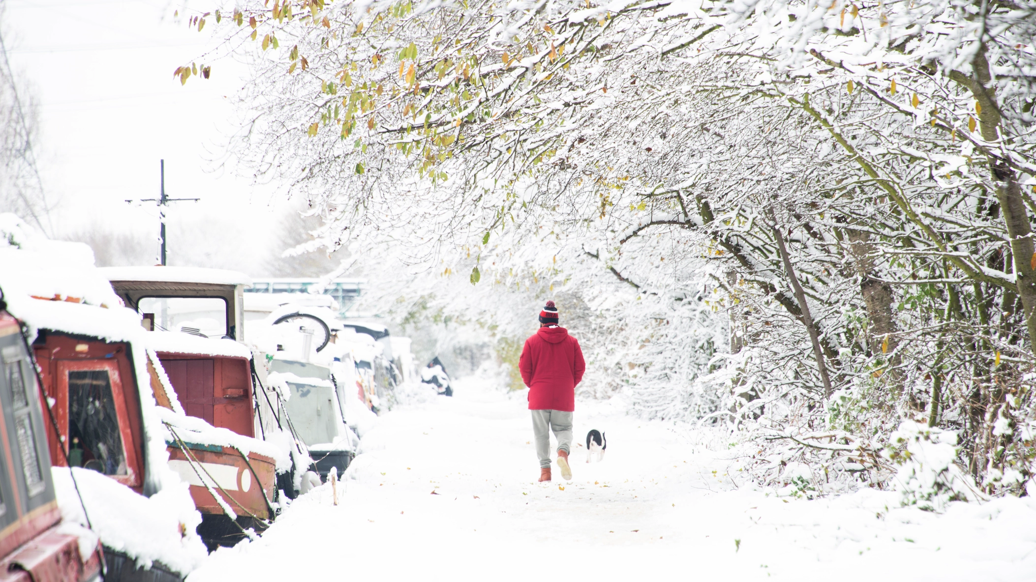
However, just because the polar vortex isn’t involved, it doesn’t mean the weather won’t be chilly with the potential for snowfall across parts of the UK.
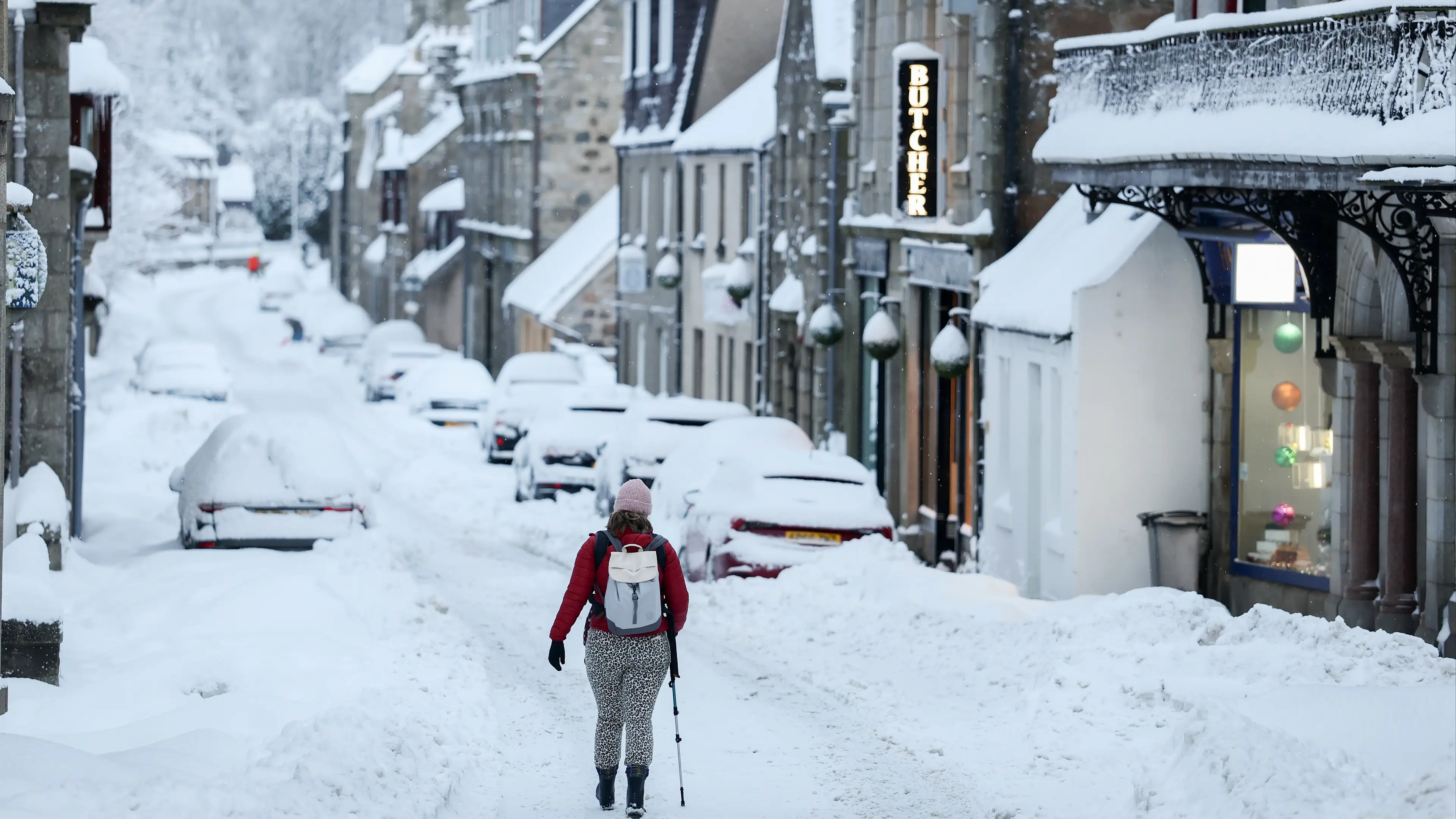
Harsh frost is expected over the next few days while parts of northern Scotland could see some snow as cooler air is swept across the UK from the north.
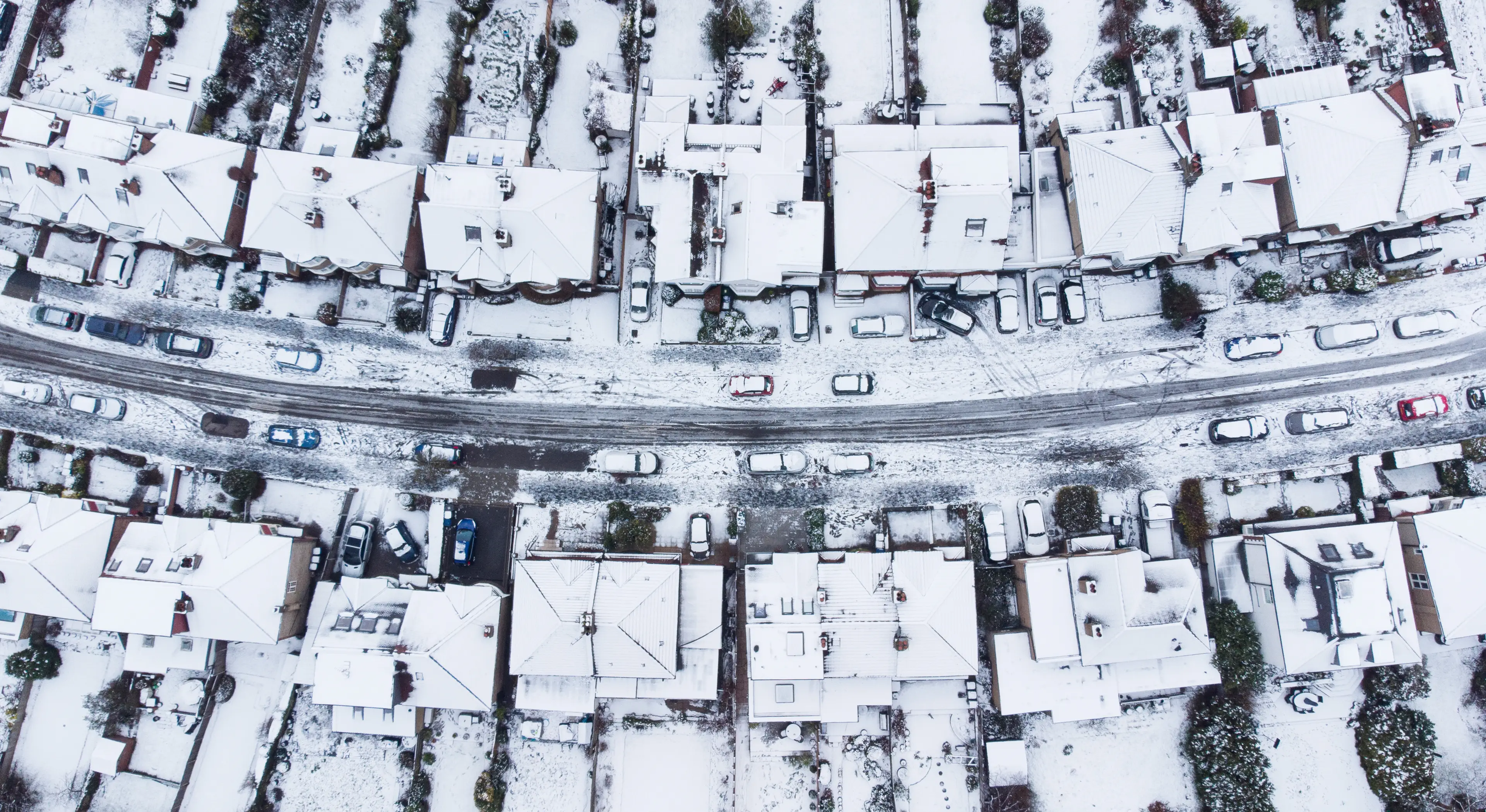
Precipitation maps for the Met Office show that particularly wintery conditions will hit parts of Scotland on Saturday (14 November) evening and continue into the early hours of the next day.
Met Office spokesman Stephen Dixon said drivers can expect to scrape their cars in the morning as the first cold snap of the season takes hold.
He said: “The UK is heading towards what will feel like the first cold spell in late autumn, with temperatures likely to drop down towards minus 6C overnight for some in the coming days and a fairly harsh frost likely for some.
“Through the day-to-day, the main weather of note I suppose is the possibility of some snow over higher ground in northern Scotland.
“This isn’t massively unusual for this time of year but could see a couple of centimetres accumulating over the very highest ground in the north of Scotland.”
Scottish counties including Highland, Moray, Aberdeenshire, Angus, Na h-Eileanan Siar and Argyll and Bute could all see snow on Sunday morning, according to the Mirror.
Dixon said there is a chance of snow in the far north of Scotland on Monday morning.
 Claire Reid