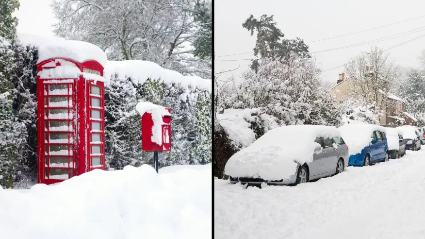
Met Office issues warning as it's confirmed 'heavy' snow is on the way
The Met Office has warned that snowy showers are just around the corner for many Brits which could be set to turn 'quite heavy'.
As of 4am on Monday (8 January), a yellow weather warning will come into force that states that both ice and snow will likely affect transport and roads in areas including Greater London, Kent, Surrey and both East and West Sussex.
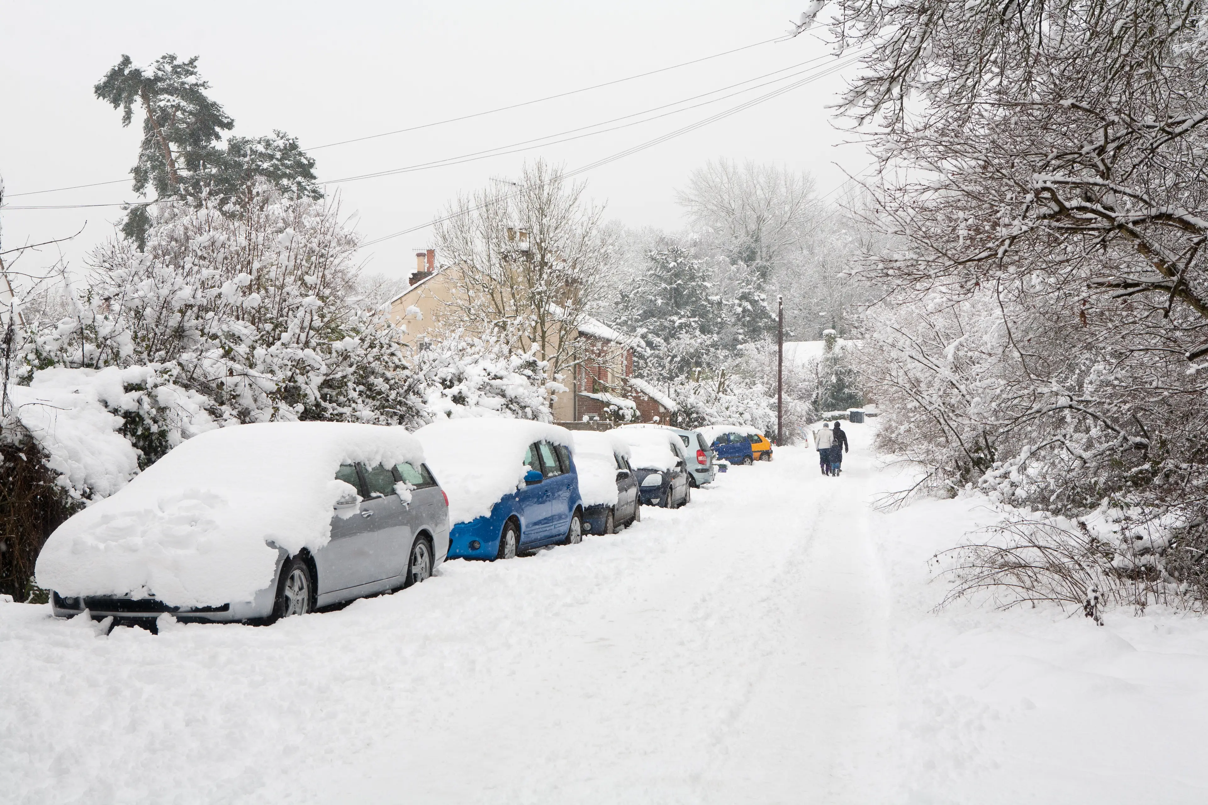
Trains are likely to be affected in these particular locations as of next week.
Advert
The same warning has been issued to Brits living in areas of the North East of England, as well as Yorkshire and Humber, and East and South East of England.
This yellow warning - which also states that temperatures are set to drop to almost zero in the early hours of Monday morning - will remain in place until Friday (12 January).
A mix of 'sleet and snow showers' appear to be moving in, according to the Met Office.
Meanwhile, the situation in the North West and South West of England - as well as the East and West Midlands - appears to be more severe, with residents being issued an amber amber cold-health alert.
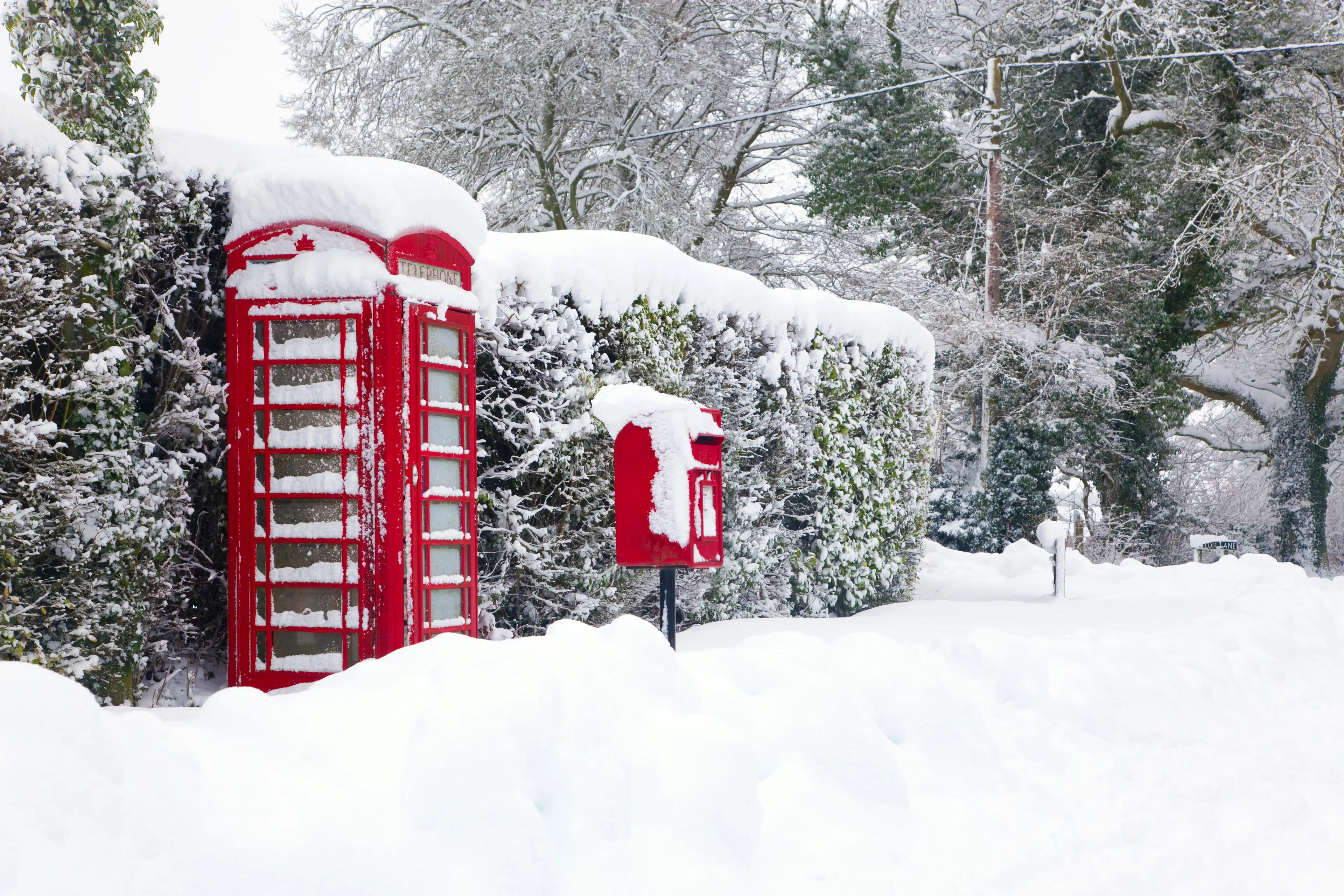
The meteorologists believe that the heaviest snow is set to fall over the North Downs of the Sussex.
And public transport users have been advised to allow extra time for journeys, and walkers and cyclists are warned to stick to main roads.
"At this time of year, clearer conditions with light winds are likely to result in overnight frosts, fog and icy stretches on roads and pavements," Sky weather presenter Jo Wheeler explained.
"Today, we're seeing a cold pool of air moving into southern areas with the potential for overnight showers to fall as sleet or snow over the higher ground.
"With night-time temperatures close to freezing, even in the towns and cities, there's also a risk of showers falling on frozen surfaces and turning instantly to ice."
She added that a amber cold-health warning means that both 'cold weather impacts are likely to be felt across the whole health service for an extended period of time, with potential for the whole population to be at risk'.
Brits over 65 and have pre-existing medical conditions are being urged by The UK Health Security Agency to be particularly cautious amid the cold weather.