Met Office Issues Second Red Warning And Tells Brits To Expect 'Dangerous Conditions'
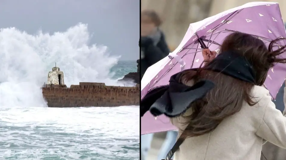
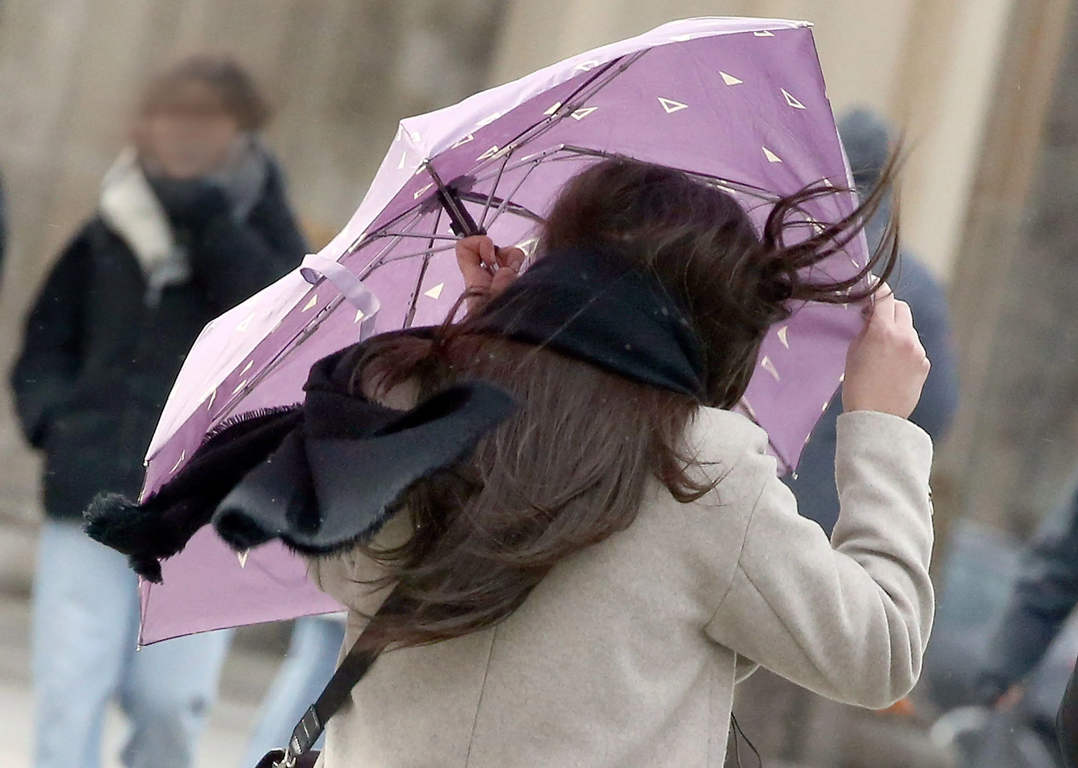
The Met Office has extended the rare Red Weather Warnings covering parts of the UK to include London and the South East, meaning that millions of people have been asked to stay home because of Storm Eunice.
The storm is expected to sweep in across the country today, causing winds of potentially over 90 miles per hour that could cause ‘danger to life’.
The first Red Warning affecting the South West of England and parts of South Wales is already in effect from 7:00am until midday, with the second Red Warning set to come into force across London and the South East from 10:00am until 03:00pm.
Advert
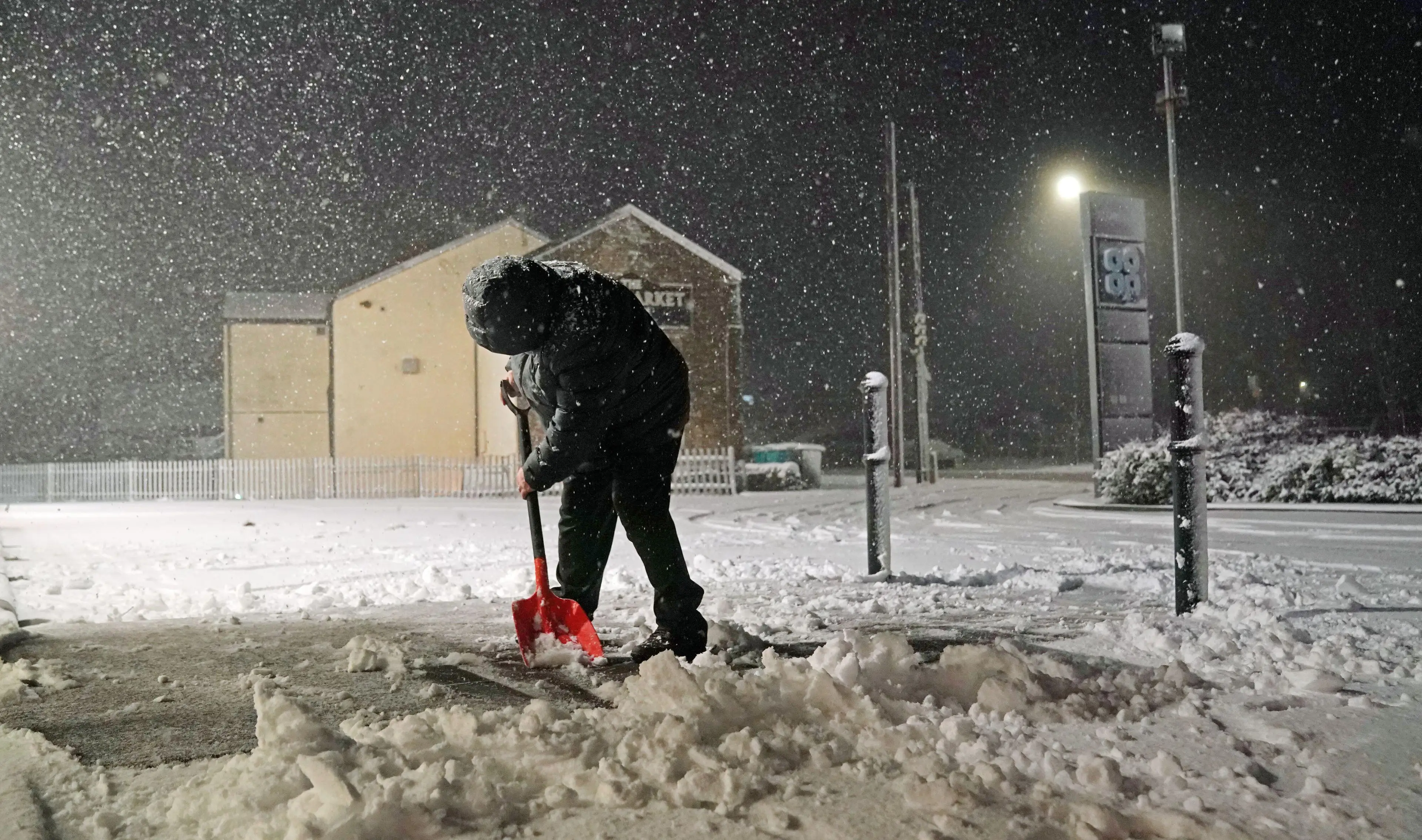
Much of the rest of the UK is under either amber or yellow warnings, with snow and heavy rain expected along with the extremely strong winds.
Flooding is also possible in some coastal areas, and warnings are already in place for those in affected areas.
Met Office Chief Meteorologist Paul Gundersen said: “After the impacts from Storm Dudley for many on Wednesday, Storm Eunice will bring damaging gusts in what could be one of the most impactful storms to affect southern and central parts of the UK for a few years.”
“The red warning areas indicate a significant danger to life as extremely strong winds provide the potential for damage to structures and flying debris. Although the most exposed coastal areas could see gusts in excess of 90mph, winds will remain notably strong further inland, with gusts of between 60-70mph for most within the amber warning area, and up to 80mph in a few places.”
Katharine Smith, Environment Agency Flood Duty Manager, added: “Strong winds could bring coastal flooding to parts of the west, southwest and south coast of England, as well as the tidal River Severn, in the early hours of Friday morning. This is due to Storm Eunice resulting in high waves and potential storm surge coinciding with the start of a period of spring tides.
“You can check your flood risk, sign up for free flood warnings and keep up to date with the latest situation at https://www.gov.uk/check-flood-risk, call Floodline on 0345 988 1188 or follow @EnvAgency on Twitter for the latest flood updates.”
Drivers in areas covered by the Red Warning are asked only travel if it is absolutely essential, as a ‘risk to life’ is ‘very likely’.
National Highways Head of Road Safety, Jeremy Phillips, said: “We’re encouraging drivers to check the latest weather and travel conditions before setting off on journeys and consider if their journey is necessary and can be delayed until conditions improve. If you do intend to travel, then plan your trip and take extra care, allowing more time for your journey.
“In high winds, there’s a particular risk to lorries, caravans and motorbikes so we’d advise drivers of these vehicles to slow down.
“Drivers of other vehicles should be aware of sudden gusts of wind which can affect handling and braking, and give high-sided vehicles, caravans, and motorbikes plenty of space. In the event of persistent high winds we may need to close bridges to traffic for a period, so please be alert for warnings of closures and follow signed diversion routes.”