News
The latest national and international news stories that will inform you, make you laugh and make you think.
The latest national and international news stories that will inform you, make you laugh and make you think.
The latest national and international news stories that will inform you, make you laugh and make you think.

The disgraced singer has formally asked the Justice Department to commute his prison sentence
Claire Reid
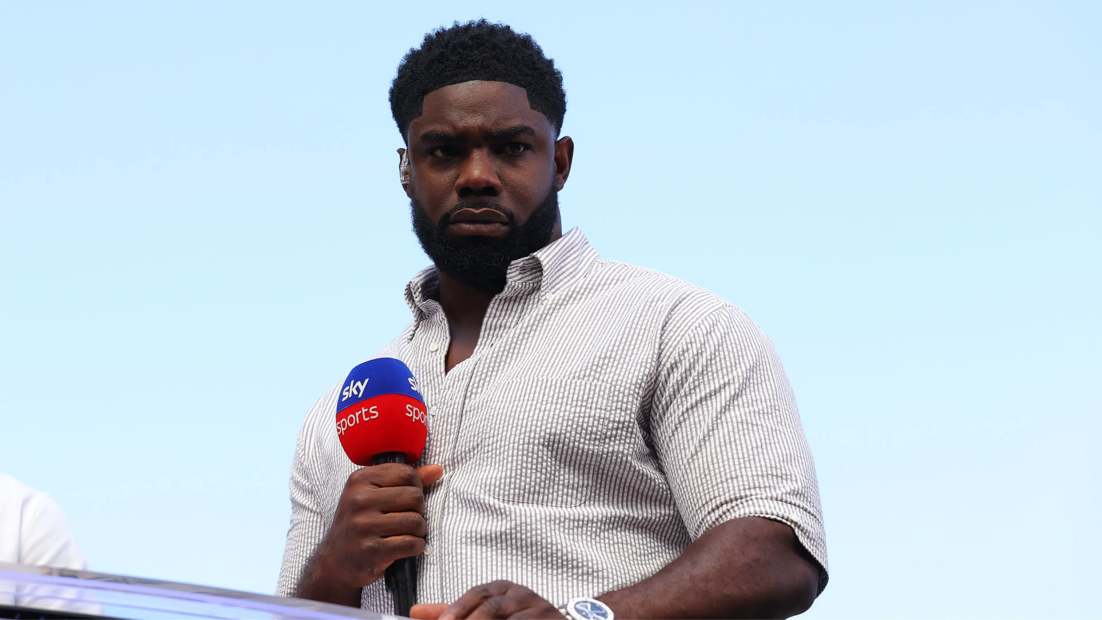
Richards paid an emotional tribute to his father Lincoln, describing him as his 'hero' and 'greatest fan'
Claire Reid

The post-match celebrations took a controversial turn after players unfurled a banner referring to the Falkland Islands
Claire Reid

Things got heated on the pitch during the semi final clash
Claire Reid