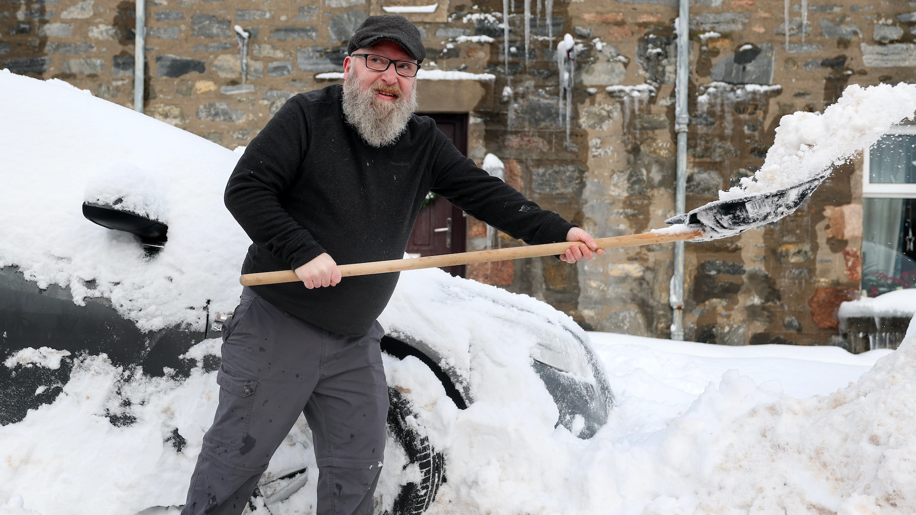
UK weather warning as polar vortex flips direction in rare event set to bring freezing conditions

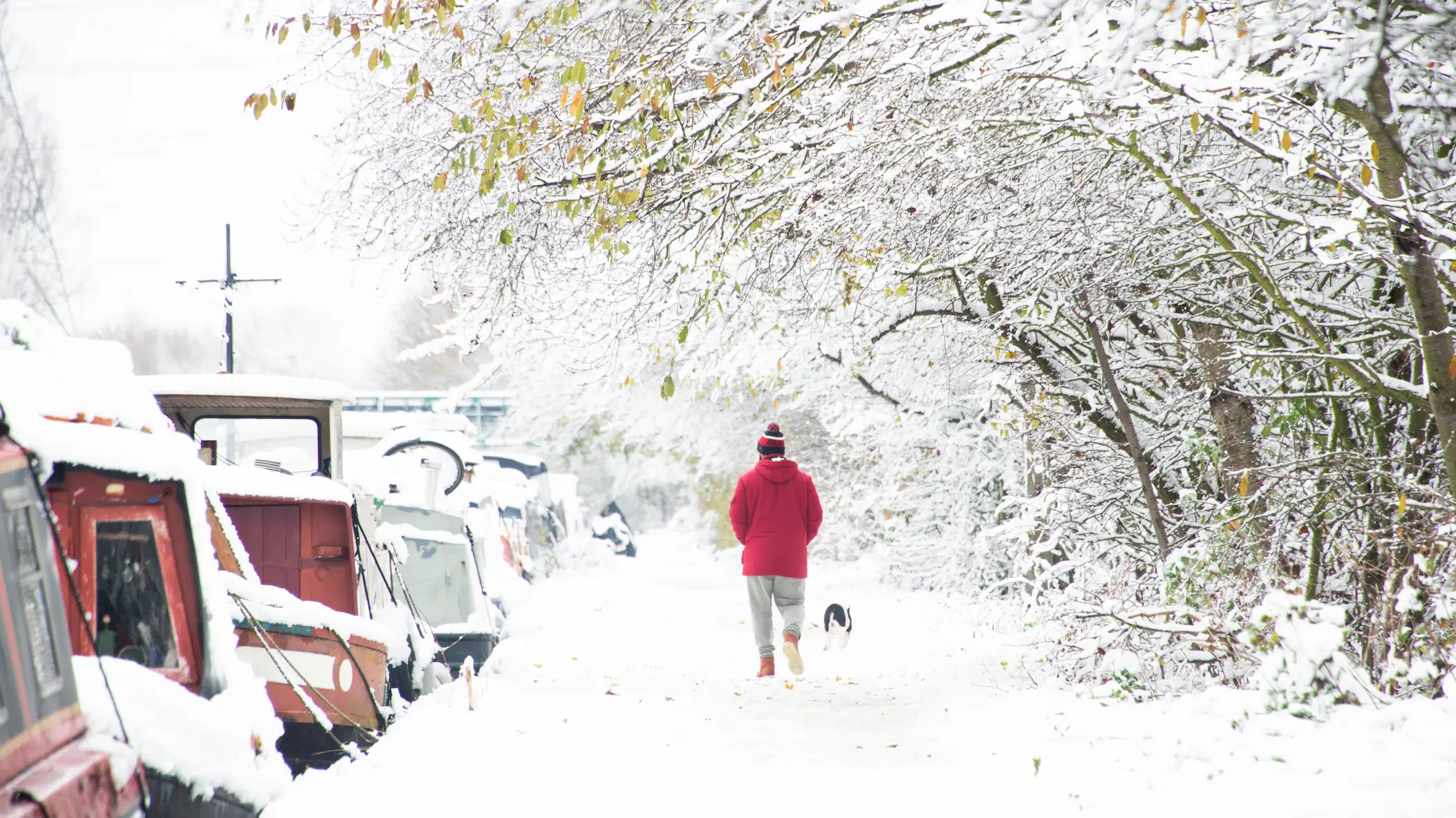
It's time to dig out your puffer jackets and gloves, as parts of the UK have recorded over an inch of snow in the past couple of days.
And the volatile weather changes don't end there either, as yesterday (18 November) the Met Office predicted another cold snap, with hail and thunderstorms to come.
The cold weather predictions come as UK Health Security Agency (UKHSA) recently extended a yellow cold health alert for the North West, North East and Yorkshire and the Humber – which had been in place until Thursday morning – to 9am on Monday.
These alerts mean weather conditions could result in an increased use of healthcare services and a greater risk to life for vulnerable people.
Advert
Meanwhile, weather mapping service WXCharts is predicting possible snow across Scotland and Northern England before the end of the month.
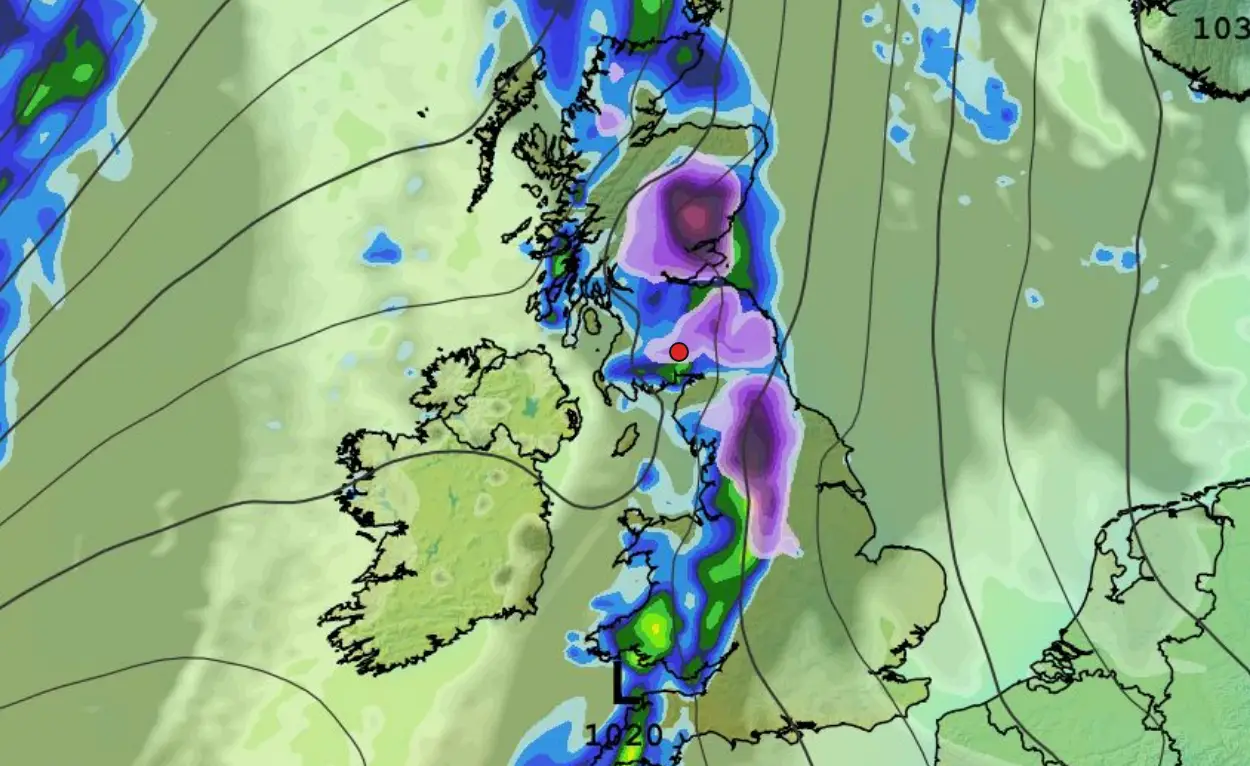
According to the most recent forecasts, parts of north and north-western England and Scotland could see as much as 5cm of snow next Tuesday (24 November).
Looks like winter is well and truly here.
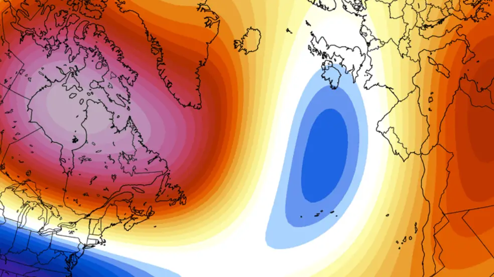
The ongoing 'messy' weather, which is currently buffeting the UK, comes amid reports that the polar vortex has 'flipped'.
What is a polar vortex – and what does it mean that it's 'flipped'?
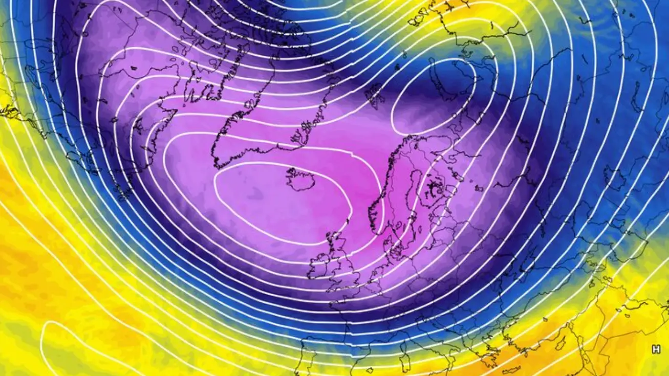
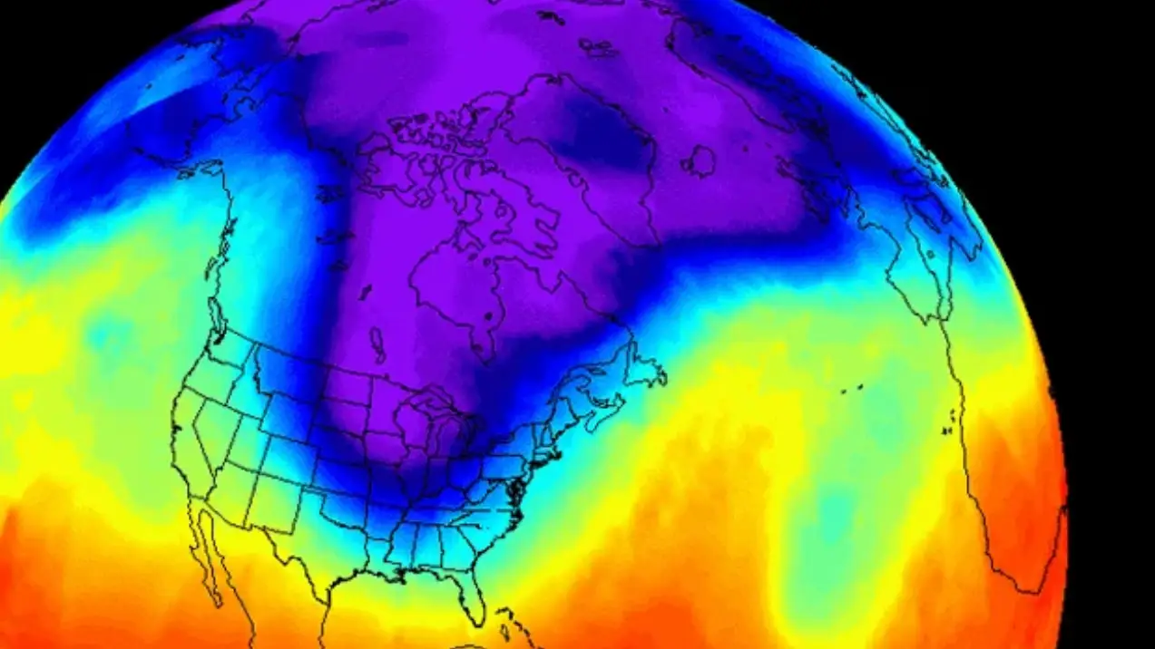
The polar vortex is a band of strong, rotating winds that keeps freezing air trapped around the North Pole.
Although the vortex sits in the stratosphere, it can have a knock-on effect on winter weather across the continent. When the vortex is 'strong and stable', the UK can expect to experience a milder, wetter and windier winter, according to the Met Office.
When the vortex weakens, splits or changes direction, colder air spills southwards, bringing freezing temperatures and the possibility of snow.
There is also the risk of a 'sudden stratospheric warming (SSW)', created due to the difference between the freezing Arctic and warmer areas further south.
This could cause a huge impact on the weather this winter, as weather patterns lower down in the atmosphere push upwards and interfere with polar vortex winds.
 Brenna Cooper