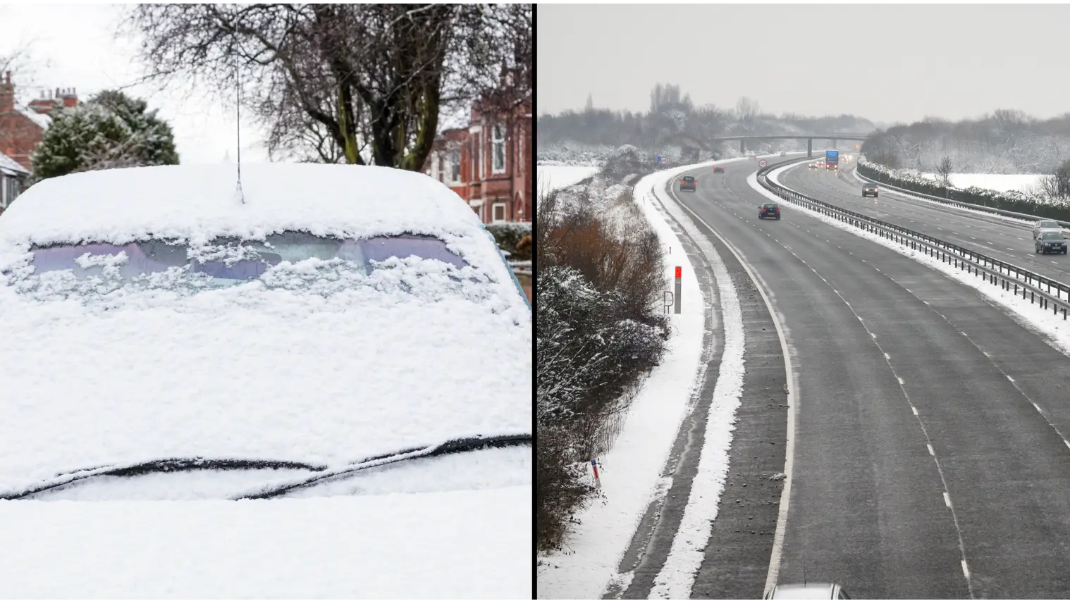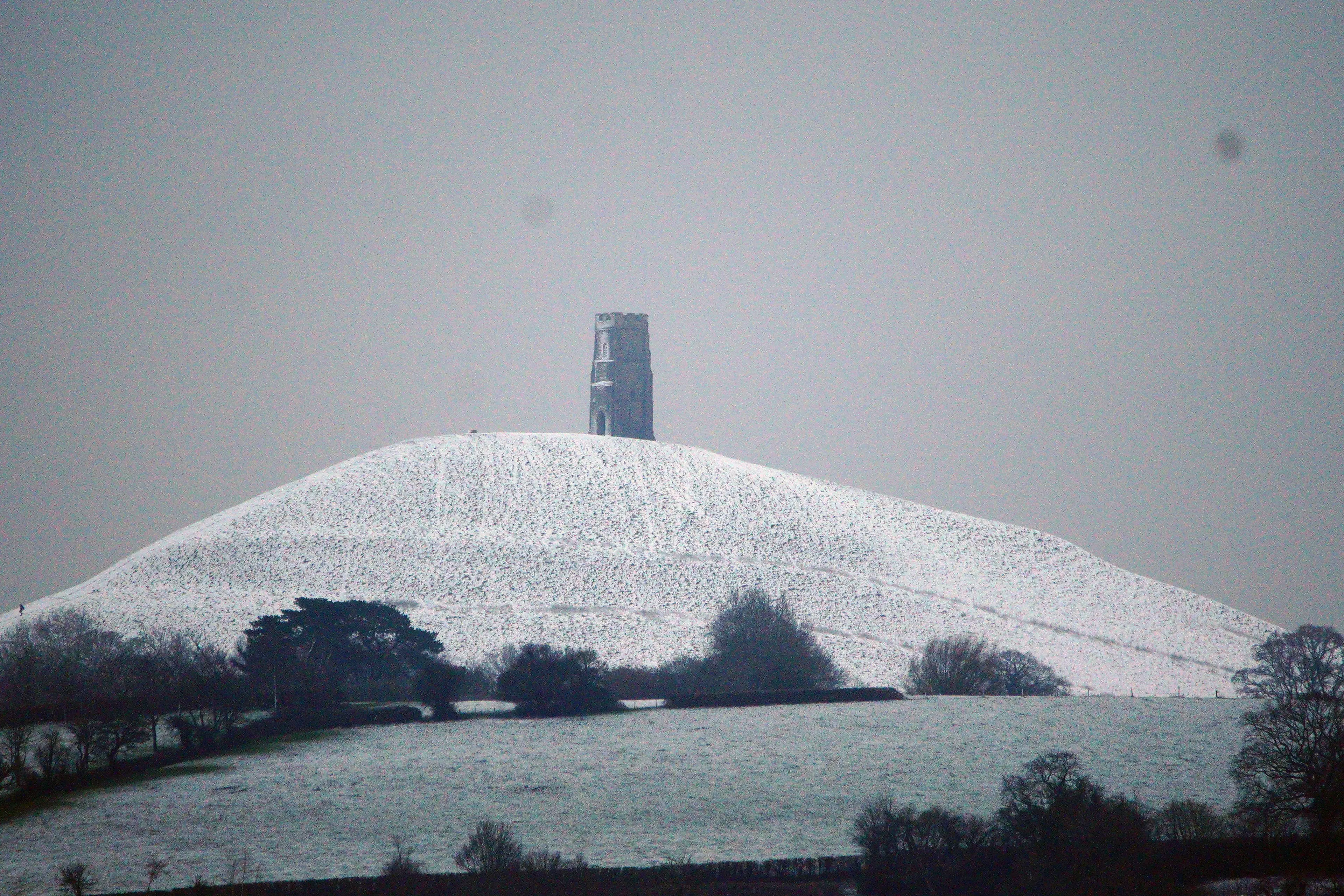
Many Brits have woken up to an icy wonderland as the Arctic blast gets set to bring further bad weather and disruption.
Parts of south and west England, Wales and Scotland were hit with snow overnight in the early hours of Wednesday (8 March), following some snowfall in other areas the day before.
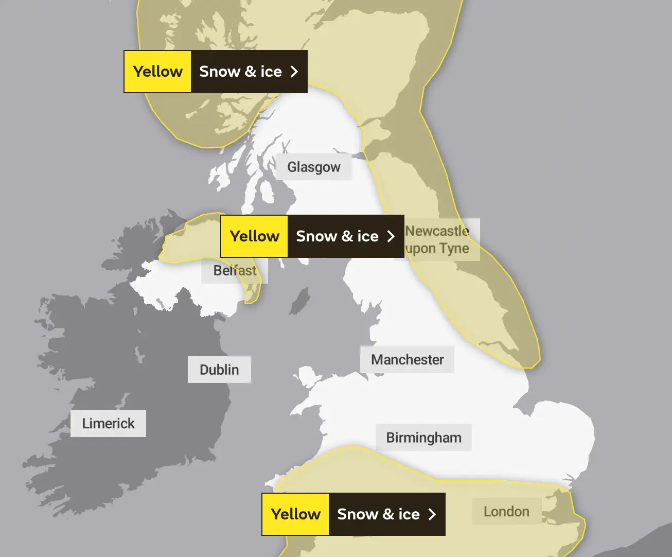
The Met Office currently has a yellow warning for snow and ice in place for large portions of the UK, including northern Ireland, Devon and Cornwall.
The warning lasts until at least Thursday for most of the UK, while some areas in the north can expect disruption until Friday.
Advert
The Met Office said there may be delays to travel that may impact journey times, while rural areas may be ‘temporarily cut off’ due to a risk of power cuts.

It said in a statement: "Spells of snow on Wednesday may cause travel disruption during Wednesday into Thursday morning.
"Possible travel delays on roads stranding some vehicles and passengers. Bus and train services may be delayed or cancelled, with some road closures and longer journey times possible.
"Some rural communities could become temporarily cut off. Power cuts may occur and other services may be temporarily affected.
"Untreated pavements and cycle paths might be impassable with a chance of injuries from slips and falls on snow-covered or icy surfaces."
The forecasting body has also warned that further warnings - or updates to the current warnings - are ‘very likely’.

Matthew Lehnert, the Met Office's chief meteorologist, said snow, ice and low temperatures were the ‘main themes’ of this week’s forecast, with the ‘UK under an Arctic maritime air mass’.
“The focus for the snow moves to southern England and South Wales tomorrow and some may wake up to a few centimetres of snow, with the south coast and far south-west likely to see a mix of rain and sleet,” he said.
“Further snow and hail showers are also expected along northern coasts, especially in northern Scotland.”
Lehnert added: “During the afternoon, a further spell of sleet and snow is likely to develop across southern England and South Wales which could cause travel disruption into the evening. The impact of lying snow and ice on untreated surfaces may have an impact on Thursday morning travel.”
The UK Health and Security Agency has issued a Level 3 Cold Weather Alert for the whole of England, calling on others to check on vulnerable people during the cold snap.
Dr Agostinho Sousa, the agency's head of extreme events and health protection, said: "During periods like this, it is important to check in on family, friends and relatives who may be more vulnerable to the cold weather, as it can have a serious impact on health.
"If you have a pre-existing medical condition or are over the age of 65, it is important to try and heat your home to at least 18°C if you can."