Met Office reveals unusual polar vortex development over 'historic' El Niño and what it could mean for winter

Meteorologists at the Met Office have given another insight into exactly what could be in store for us this winter due to an unusual polar vortex development.
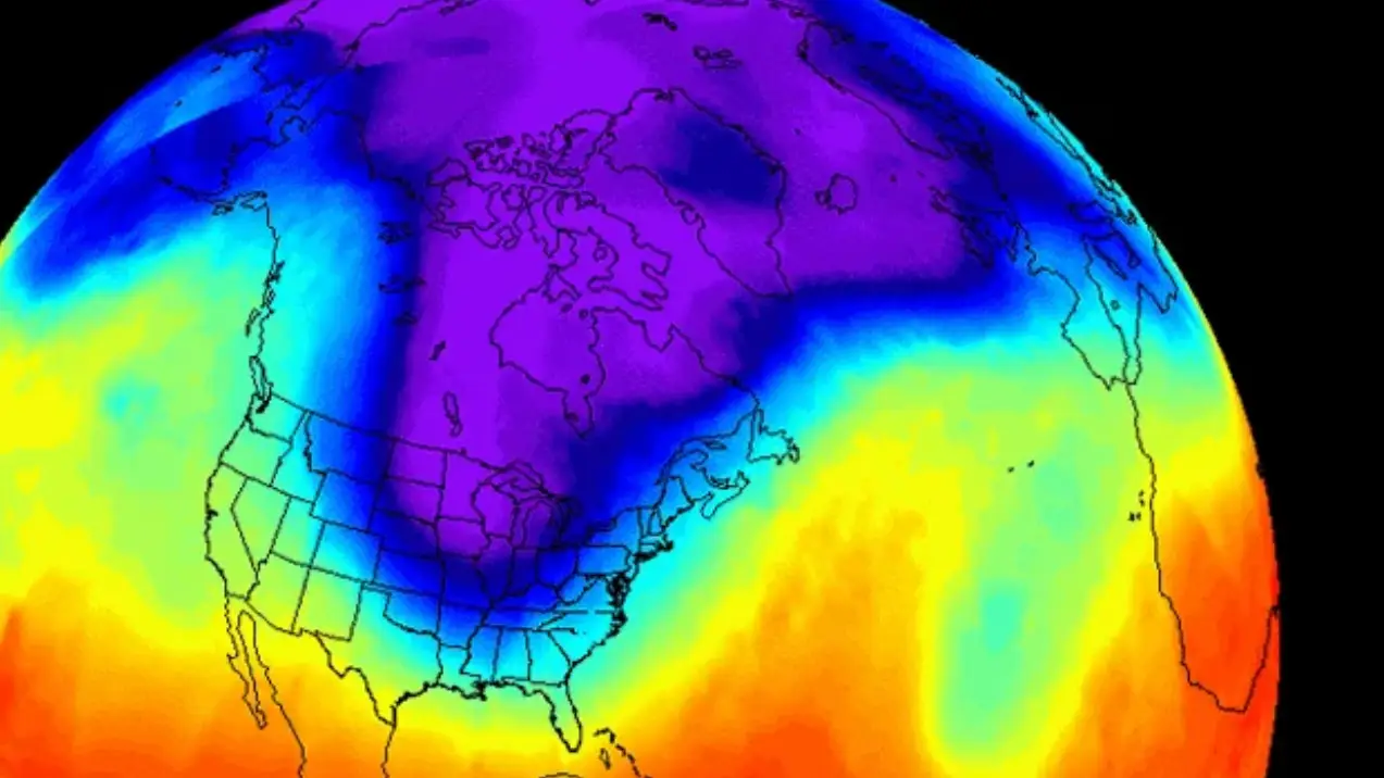
Over the past few months, there has been plenty of talk about the polar vortex, which is a large region of very strong winds that sit high above the Arctic during the winter, and its possible impact on our weather here in the UK.
The weather phenomenon essentially traps the air high in the atmosphere, keeping it near the North Pole.
However when this weakens and breaks up, there is a risk of it pushing colder air south.
Advert
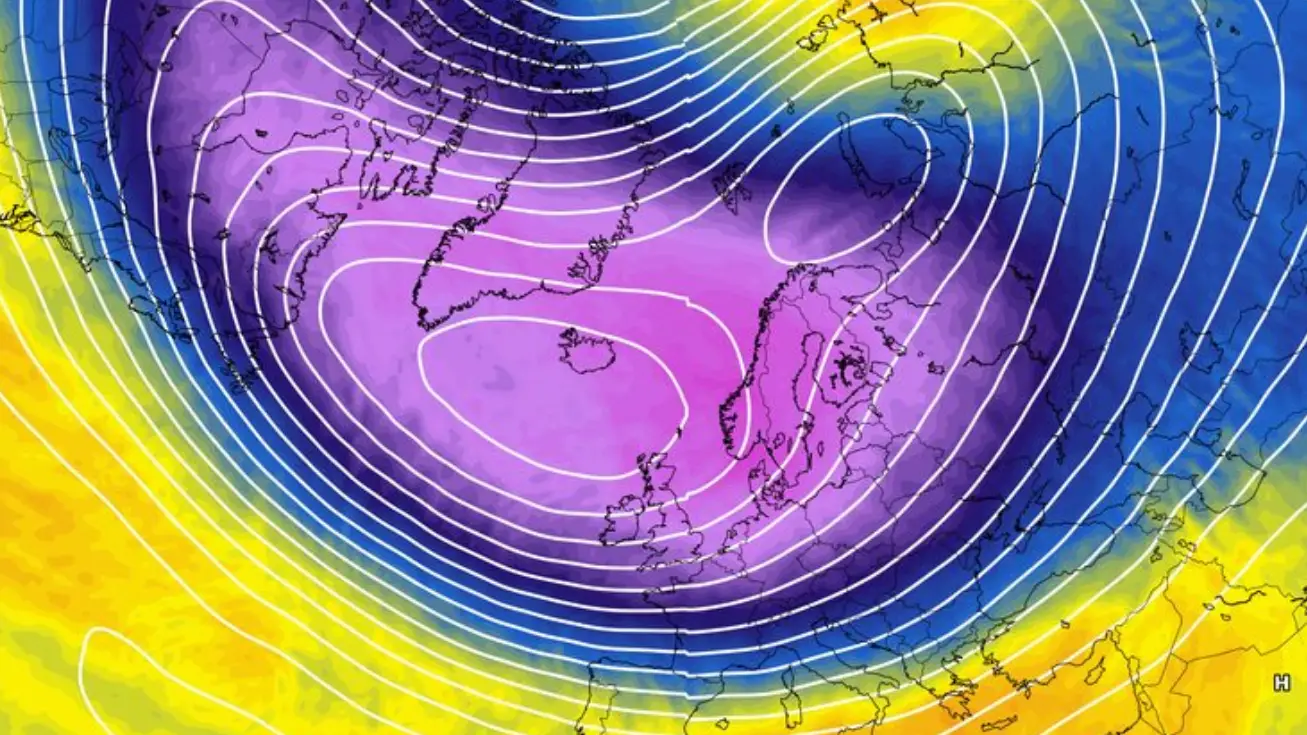
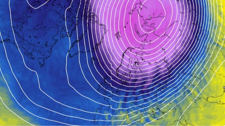
Experts have previously explained how the winds are splitting into two, which is pushing Arctic air towards Britain and parts of Europe.
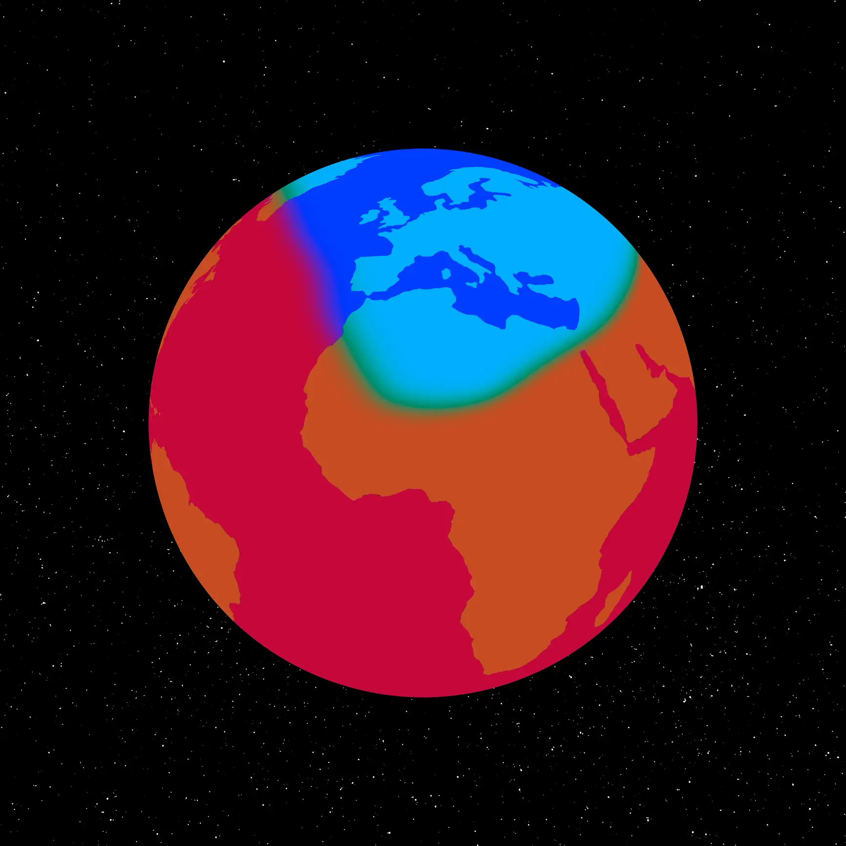
This has happened particularly earlier than normal in 'unusual' circumstances, and is defined by an alternative weather event called a 'sudden stratospheric warming (SSW)' event, created due to the difference in freezing Arctic and warmer areas further south.
This could mean weather patterns lower down in the atmosphere will push upwards and interfere with polar vortex winds, causing them to change direction.
LADbible reported last week how one unexpected impact of this over the winter months would be continued drought, which remains at 'severe' levels in some part of the UK.
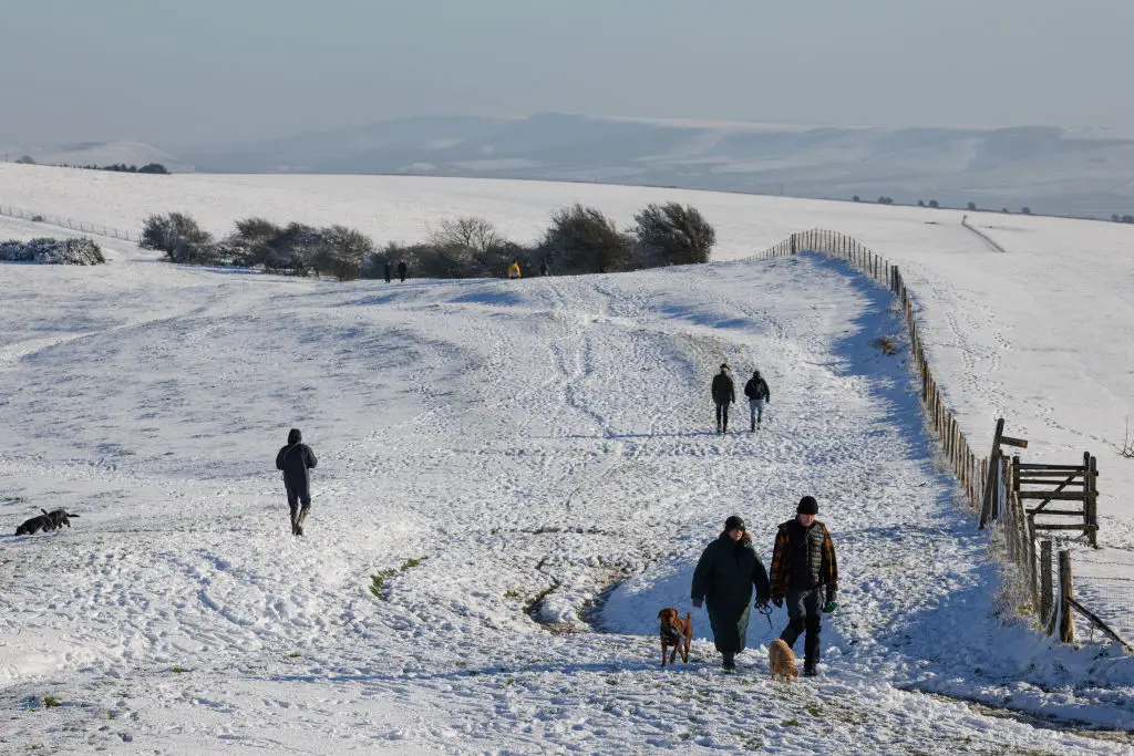
UK could be heading for drier and colder than average winter
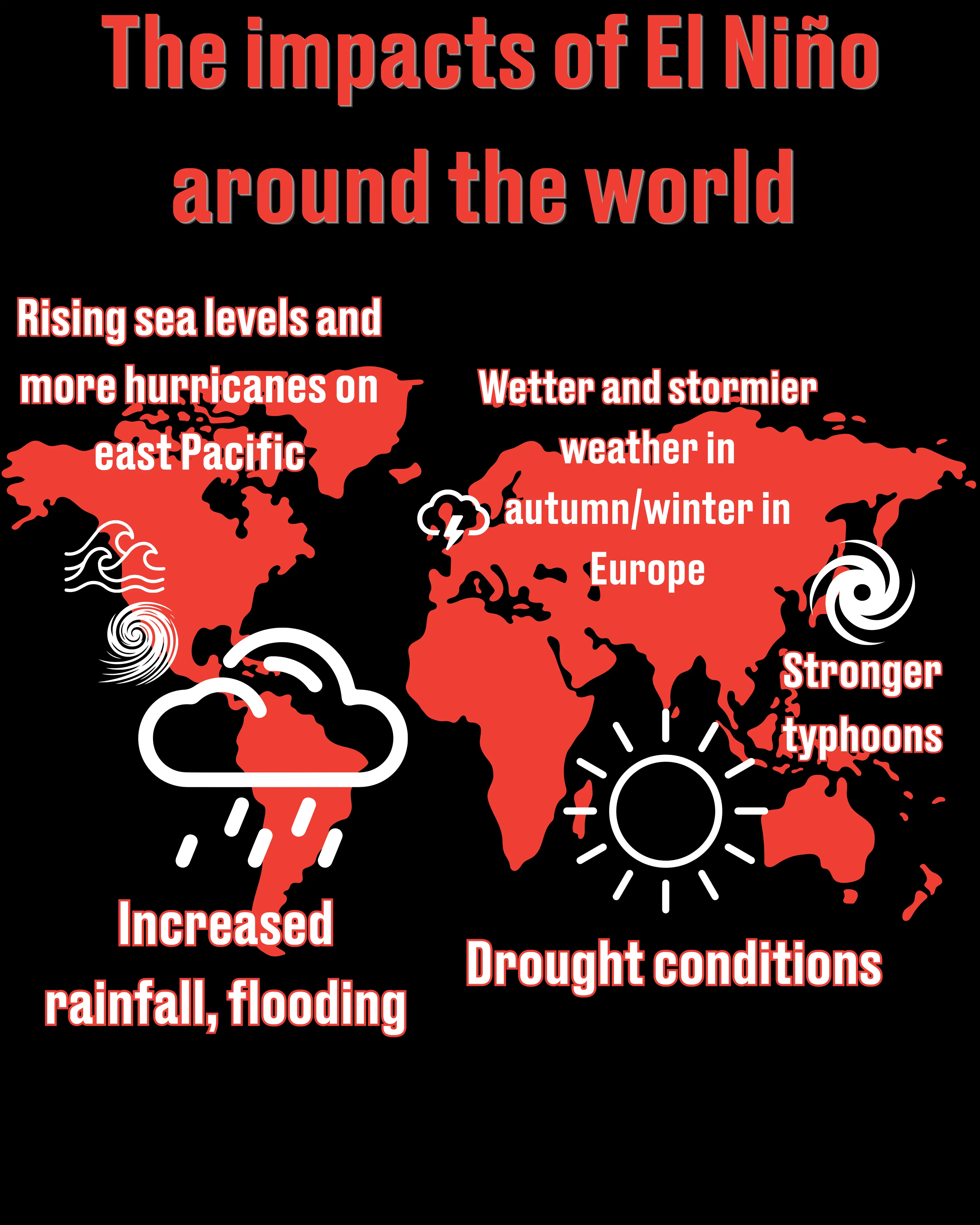
In a fresh update, the Met Office revealed more about exactly what could be in store for us this winter, especially amid to the 'record-breaking' El Niño, which also directly impacts the polar vortex by amplifying large-scale atmospheric waves that travel upward from the tropical Pacific.
On Thursday (19 November), the weather forecaster explained how although the El Niño is potentially influential over the UK’s weather over the coming winter months, it is not the only factor at play.
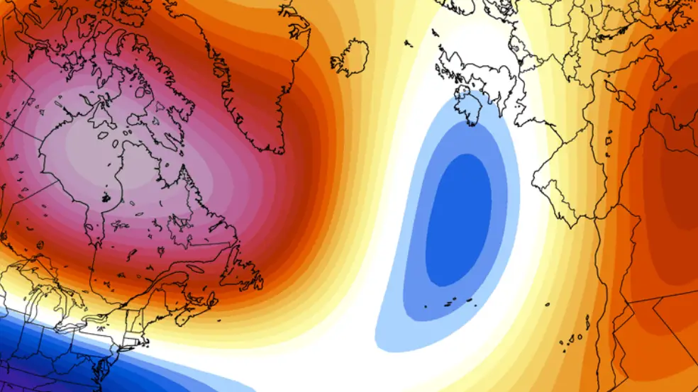
It also comes down to something called the North Atlantic Oscillation which relates to pressure across the North Atlantic north of the UK and lower-than-usual pressure further south.
Met Office Scientific Lead Jeff Knight, who contributes to seasonal forecasts, explained that the increased likelihood of a negative NAO means a colder and drier than normal winter is a possibility.
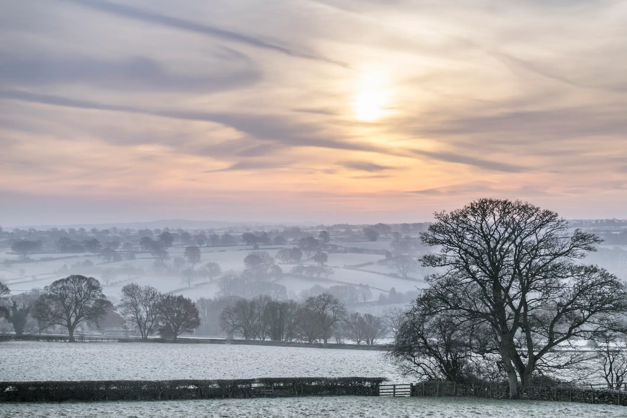
However, although it may mean December, January and February could bring more frequent cold weather, it is not a guarantee of freezing conditions or widespread snow.
Jeff Knight explained: “We have an historic El Niño that is very likely to influence the outlook for the winter.
"In recent model output, we are seeing elevated chances of weather patterns similar to those linked to El Niño events in past winters.
“This pattern is called the negative phase of the North Atlantic Oscillation (NAO). A negative NAO corresponds to higher-than-usual pressure across a broad portion of the North Atlantic north of the UK and lower-than-usual pressure further south.
"In UK latitudes in winter, a negative NAO results in the reduction of the mild, damp westerly winds that we usually receive. Consequently, a negative NAO winter is more likely to be colder and drier than usual.
"Whilst negative NAO is by no means a certainty, its increased likelihood indicates that the models as they currently stand are likely to favour colder- and drier-than-average conditions this winter."
Topics: Weather, UK News, World News, Science
 James Holt