
UK predicted to suffer second 'heat dome' very soon as extreme weather warnings finally come to an end
Well, we made it LADs, we got through another week of extreme heat in this largely AC-free country.
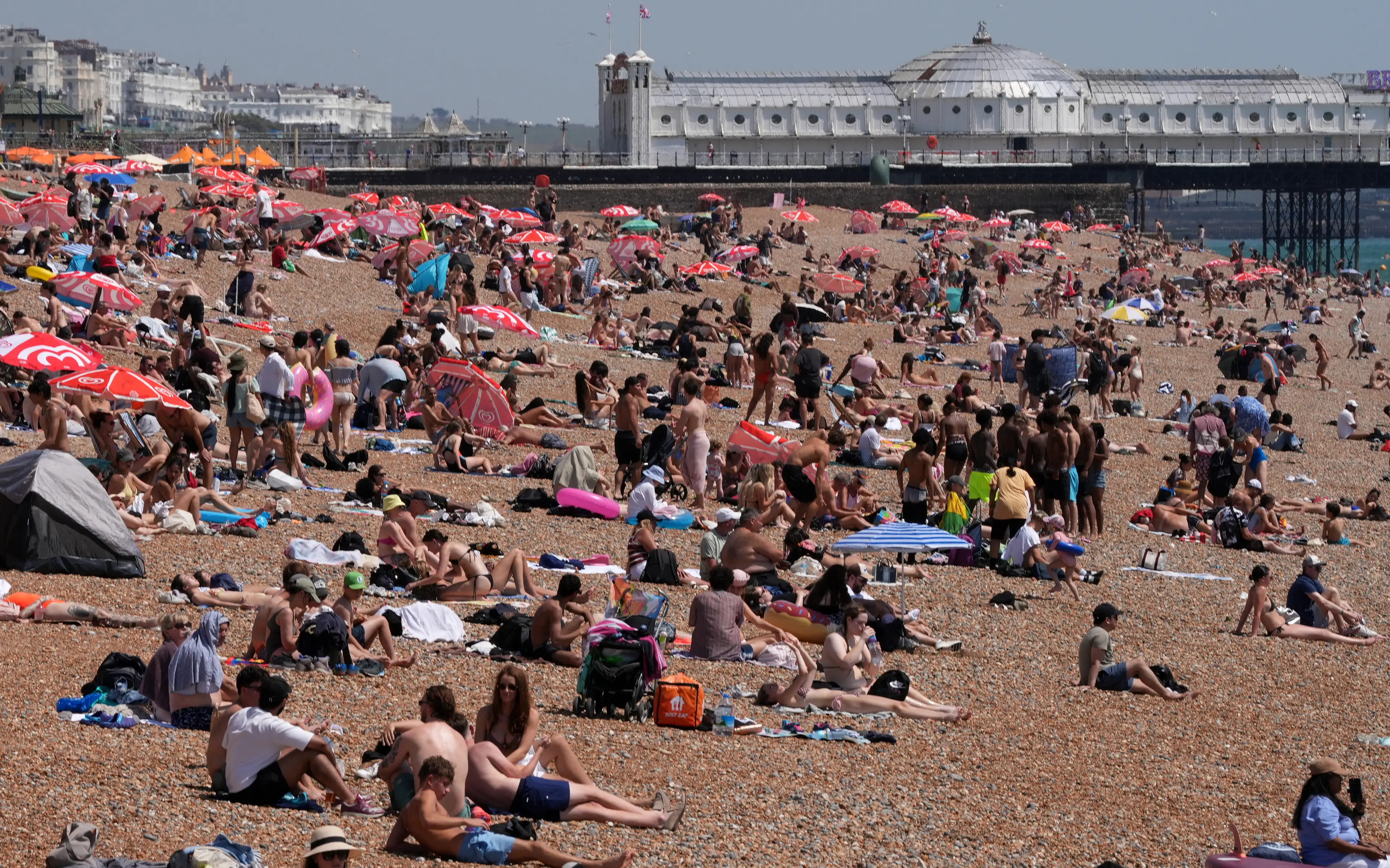
The amber warning for extreme heat covering the east and South East of the UK finally came to an end at 9am this morning (28 June) with heat records broken earlier this week.
On Friday, there was a provisional peak of a whopping 37.2C in Santon Downham in Suffolk with this heatwave absolutely smashing the long-standing record for June heat.
Much of the country felt the effects of the weather, with critical incidents at hospitals, hundreds of schools and nurseries forced to close and services facing more life-threatening emergency calls.
Advert
And while temperatures are set to drop now, it seems a lot of people’s worst fears are coming true as we could be set for a repeat.

This is said to be because of the Azores High becoming ‘displaced’. Also known as the Bermuda High, it’s a large semi-permanent centre of high atmospheric pressure.
The subtropical anticyclone plays a crucial role in shaping weather patterns across vast regions.
And the European Centre for Medium-Range Weather Forecasts reports that it could become centred over northern France and southern Britain as it becomes ‘displaced’.
Therefore, this could result in a burst of intense heat over Spain and Portugal which will then move further north, resulting in higher-than-average temperatures.
That’s similar to how May had a large area of high pressure sitting across the UK, resulting in the warmer weather. This is what’s known as a ‘heat dome’ which honestly, sounds a little bit like we’re living in The Simpsons Movie.
Great.
Netweather reckon July will start cooler before the intense temperatures follow.
“It is increasingly looking likely that there will be further potential for very hot weather to return starting in the second week of July,” it said.
"The ECMWF model ensemble mean outputs for around 8 July have the Azores High becoming displaced and becoming centred over northern France and southern Britain, with another region of heat developing over Spain and Portugal and pushing up into France.” It added that this could ‘create another heat dome over western Europe’.
Us Brits know far too well anyway that we’re still pretty early in the summer – we normally don’t get our hottest weather until late July and into August.
So, there’s plenty of indications that we could be seeing more heatwaves this summer.
On 1 June, forecasters issued their three-month summer outlook with MeteoGrpup saying there are a ‘few notable high temperature spikes’ possible this summer.
The Met Ofice has suggested an ‘increased chance of heatwaves and heat-related impacts’.
Forecasters expect ‘above-average temperatures’ in July and August with ‘significant bursts’ of heat expected in the UK as well as across Europe.
Topics: Environment, Weather, UK News