Meteorologist explains most dangerous US cities to be in as El Niño begins
After weeks of scientists and meteorologists talking about the potential El Niño beginning as soon as this month, it’s finally here, and there are some US locations that are set to feel it the lost.
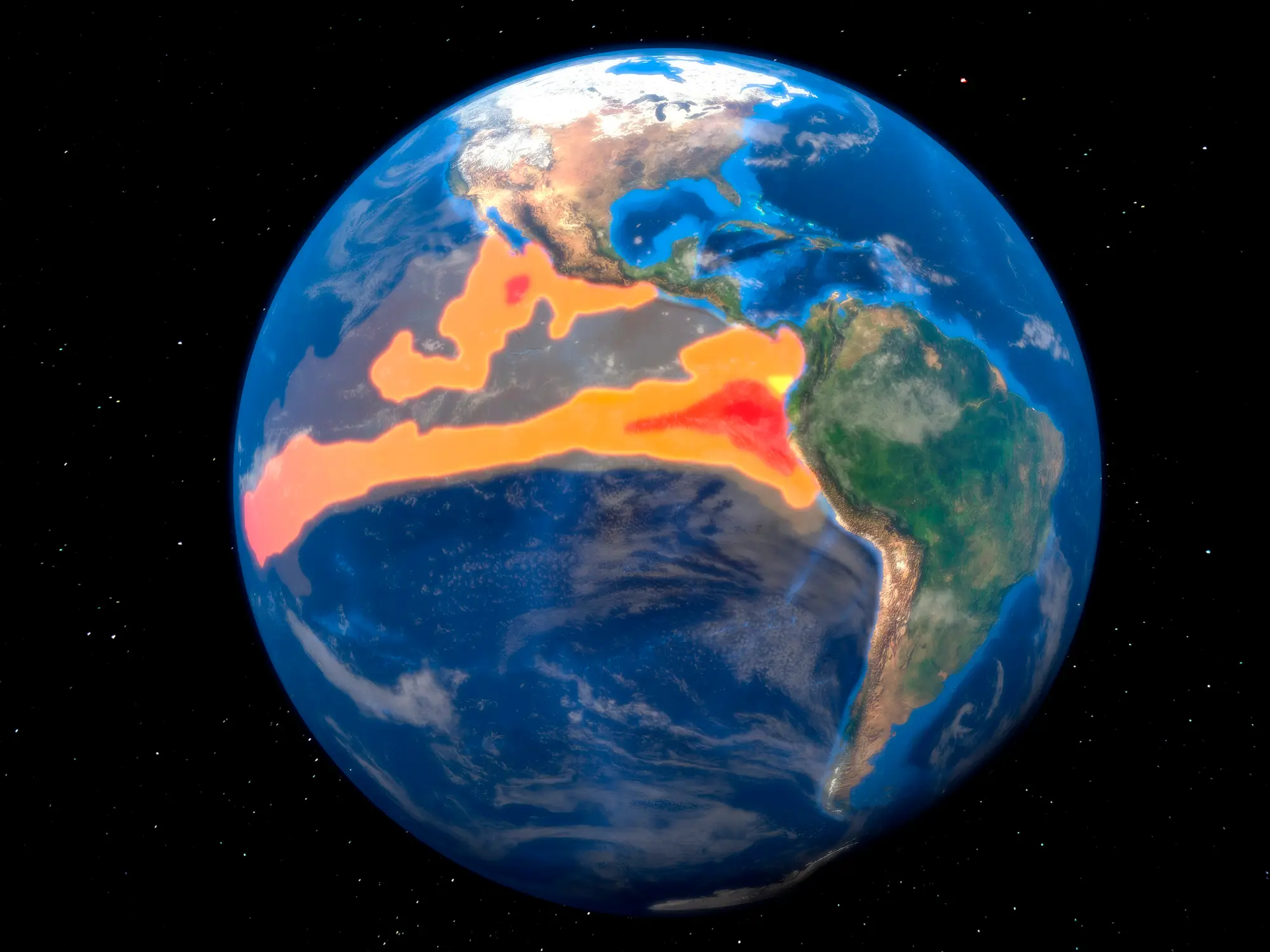
According to the National Oceanic and Atmospheric Administration (NOAA), the Pacific Ocean has been warming up and creating an El Niño event, which can occur between every two to seven years.
While it typically starts in the ocean, it still ends up impacting a lot of places around the world.
Previously, Ken Graham, director of NOAA’s National Weather Service (NWS), said of the El Niño: "Every El Niño is not the same; each one is unique with its own imprint on our weather.
Advert
"Advanced monitoring and an improved understanding of El Niño patterns allow the NWS to better predict and better prepare the public and our core partners for what is to come."
So, what does this mean?
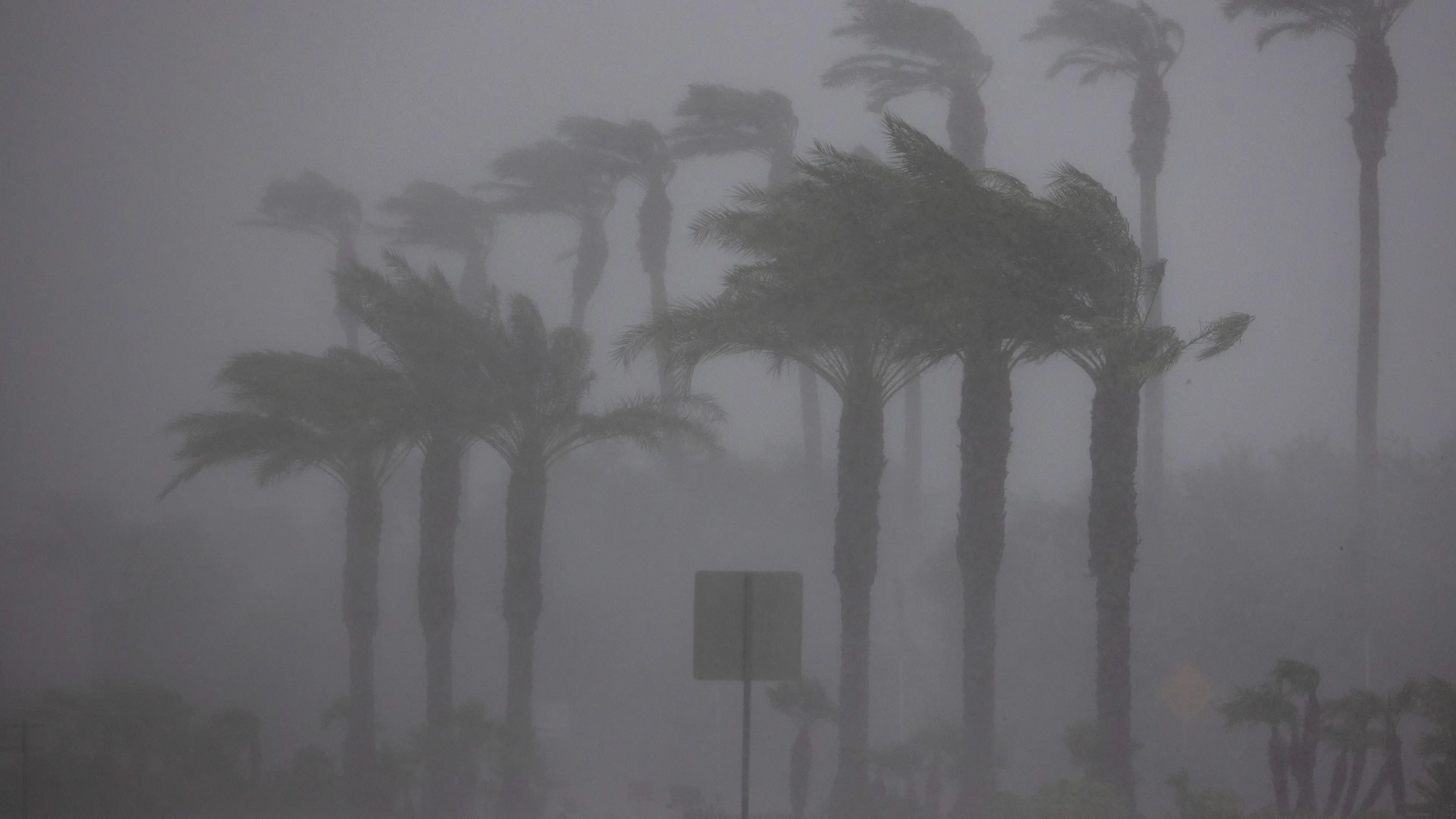
Apparently, there is now an increased risk of torrential downpours, flooding, thunderstorms and tornadoes across the South of the US to the Mid-Atlantic.
To talk about which cities will be most impacted, AccuWeather's lead long range forecaster Paul Pastelok told the Daily Mail that it includes Orlando.
He said: “As far as heavy rainfall and tornadoes, Houston to Atlanta, Orlando and parts of the Mid-Atlantic, pick a city... those are more concerning, especially as you get into later this year.”
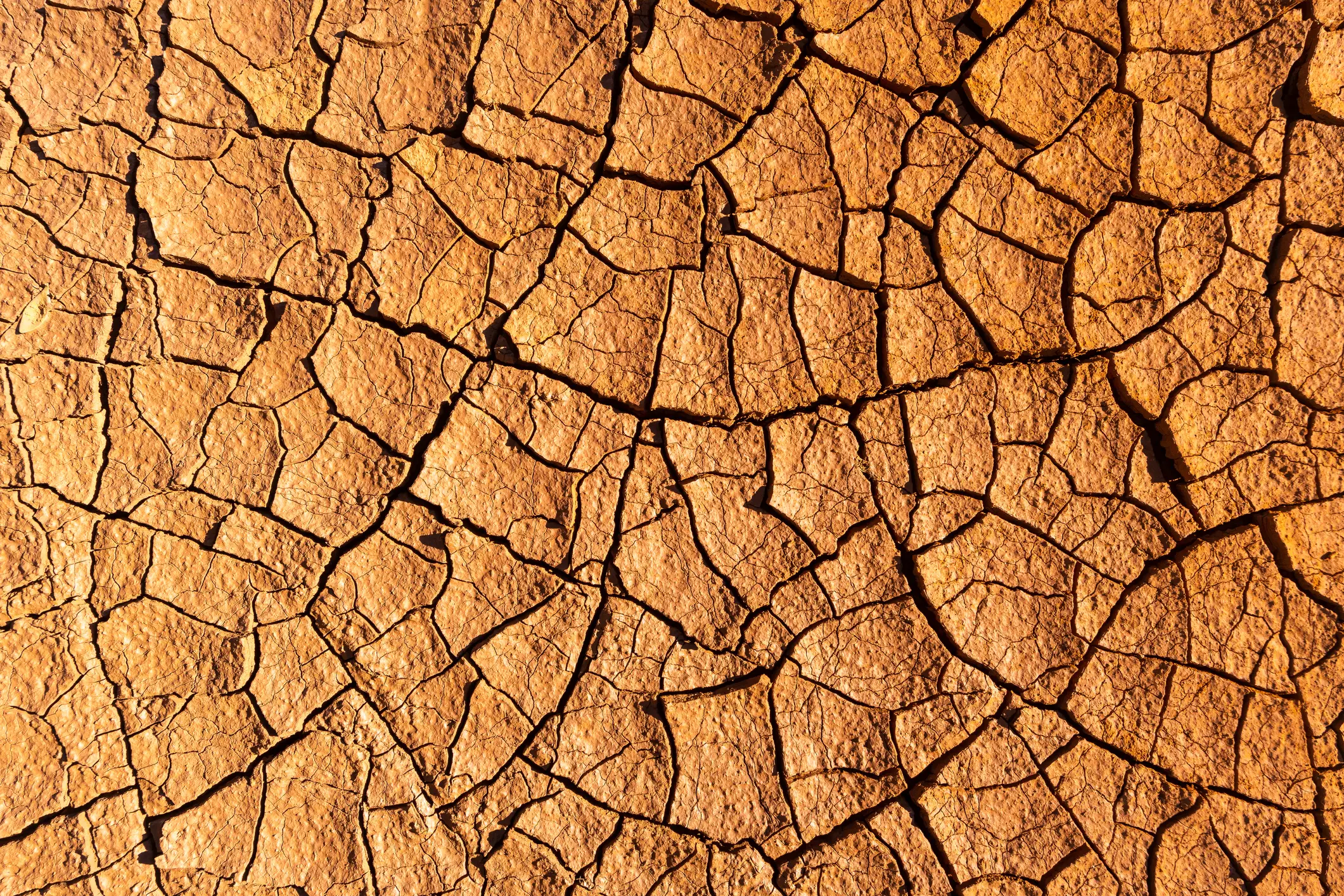
However, while the above cities will see more rain, places like Southern California, Arizona, New Mexico, Texas, Louisiana, Mississippi, Alabama, Georgia, Florida and the Carolinas are likely to feel the impact of dry and droughts.
On June 11, the NOAA officially declared that El Niño has arrived and allegedly holds a 63 per cent chance of turning into a 'super' El Niño sometime between November and January.
This means that the NOAA finds that the water is 0.9F above average and is expected to stay that way for several months.
According to Pastelok, this would be the eighth super El Niño since 1950 and could last a year.
"This stuff takes time, and sometimes, even after the El Niño goes away by next year, the lag of the atmosphere continues to go on, so we could see effects from this El Niño all the way through 2027,” he explained, per the Daily Mail. “We could experience significant drought and heat. More so next year than we are this year from the El Niño. And so folks need to realize... It may come and haunt you next year.”
In fact, it might bring a tropical storm or hurricane to California, and flood Arizona.
"There could be some insane flooding that could take place, not only just in the summer, but it could even be out of season as well into the wintertime,” Pastelok said. “You gotta watch the combination of the monsoon and marine heatwave. A marine heatwave that's near the Baja, with El Niño combined, you've got three things working to possibly produce some unusual type of wet weather in Southern California, Phoenix, Tucson, in that area there.”
 Britt Jones