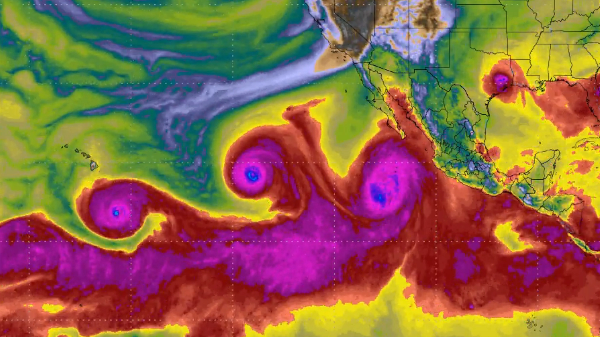
El Niño fuels triple hurricane fears as US holds its breath over Pacific Ocean category 4 storms

Three major storms have formed, each with the potential to become a hurricane in the next few days or already a hurricane.
The formation of the storms comes as the world enters a particularly strong El Niño phase, part of the ENSO cycle in the Pacific in which the ocean's surface temperature rises.
This current phase of El Niño has been observed as being extremely powerful, increasing the likelihood of extreme weather and leading to many to informally refer to it as a 'Super El Niño'.
Tropical storms become categorised as hurricanes when the wind speed reaches 74mph, the National Hurricane Center explains.
Advert
Now, these three storm systems have been described as connected to the powerful El Niño phase, with Washington Post weather writer and meteorologist Ben Noll writing on social media: "There's an El Niño-fueled hurricane train in the Pacific!"
He added: "Three hurricanes will soon be swirling simultaneously: Lowell, Karina and Marie.
"In a few months, El Niño's storm train will be pointed in the opposite direction — and instead blowing across the southern United States."
These three storms include Hurricane Karina, which forecasters have described as a 'powerful category 4 hurricane', rising from a category one to a category three over the weekend in just hours, and being declared a hurricane on Sunday.
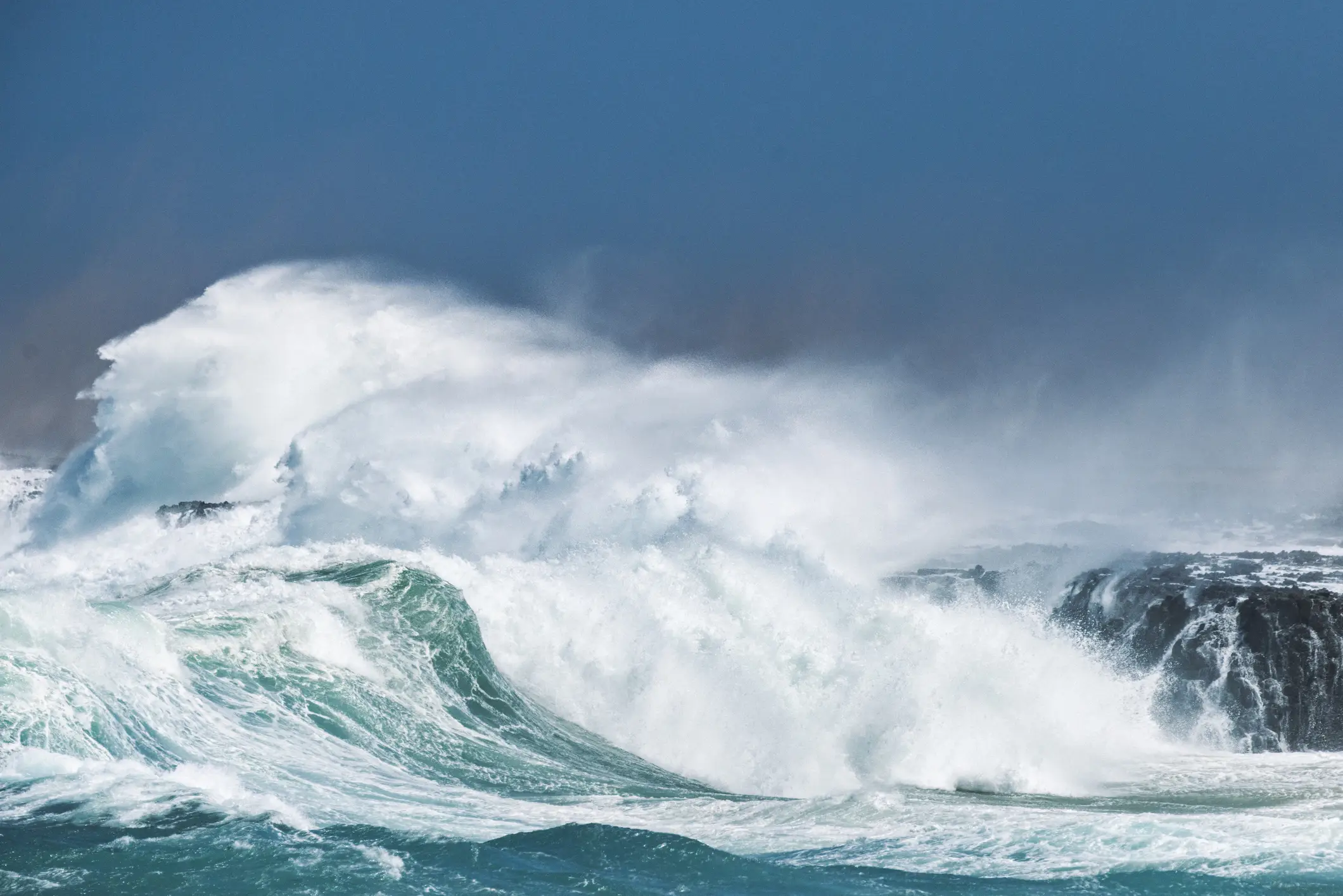
Karina is moving west at present, with the National Hurricane Center saying on September 1 that 'there are some signs that the cyclone might be near its peak intensity', and Karina is not expected to make landfall, though there have been warnings about swells and 'rip current conditions' on the coast of California and Mexico.
Meanwhile, there is also Tropical Storm Edouard which is raging off the US east coast, and which experts have warned has the potential to become a hurricane.
At present the storm's wind speeds are at around 60mph, and it will need to reach 74mph to be declared a hurricane.
Storm Edouard made landfall by Johnson Bayou in Louisiana, and is now expected to weaken as it moves inland, where it is forecast to produce around three to six inches of rain in the Upper Texas Coast and east-central Texas.
Texas governor Greg Abbott has warned of the storm, requesting that residents follow official guidance from weather stations.
“Texans along the Upper Texas Coast and in Southeast Texas should remain weather aware, heed the guidance of state and local officials, and have an emergency plan ready,” a statement from the governor's office said.
“Possible tropical-storm-force wind gusts along the coast could cause isolated power outages.”
And that's not it either, with a third storm, Tropical Storm Marie, also forming back over in the Pacific, where forecasters have warned it could hit Southern California.
While not yet categorised as a hurricane, Storm Marie is anticipated to become a hurricane by the night of 2 September.
Although it is not yet certain where it move, the LA Times has reported that it is likely to move west.
Sebastian Westerink is a meteorologist for the weather service’s San Diego office, and told the outlet: “By the time this storm reaches Southern California, it will very likely be below hurricane status and even tropical storm status."
Nonetheless it could still bring a danger of floods, as well as producing rough conditions at sea.
While El Niño does not directly cause the weather, it does create the conditions where extreme weather events are more likely to happen.
This El Niño event is especially strong, and although El Niño is not caused by climate change some have warned that the impact of climate change is likely to exacerbate it.
Topics: World News, El Niño, Weather
 Kit Roberts