UK News
Keep up to date with the latest news from the UK. Read stories about politics, health and lifestyle, money saving tips and more.
Keep up to date with the latest news from the UK. Read stories about politics, health and lifestyle, money saving tips and more.
Keep up to date with the latest news from the UK. Read stories about politics, health and lifestyle, money saving tips and more.

The dog was blind and had one tooth
Joe Harker
They didn't need a deposit thanks to the scheme
Joe Harker
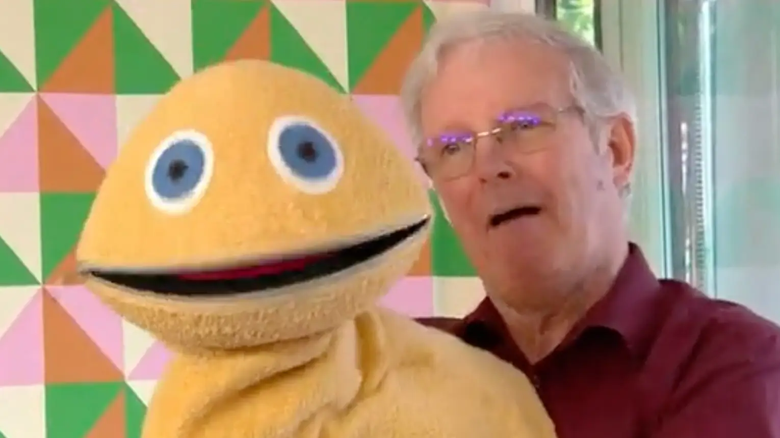
The 78-year-old is said to have passed away after a short illness
breaking
Brenna Cooper
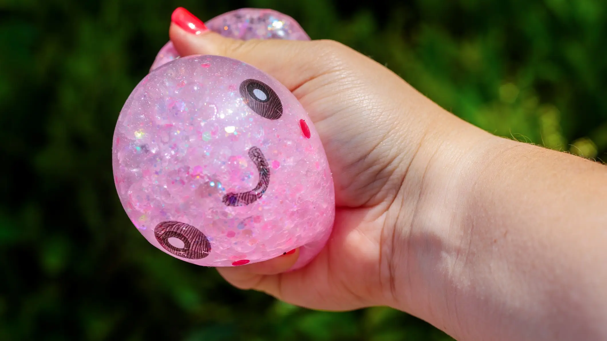
There are several ways to tell if your dumpling toys are genuine
Joe Harker