Urgent travel warning issued as impact of ‘Godzilla-level’ El Niño begins

An urgent travel warning has been issued with the impacts of El Niño already breaking records.
Experts at the Met Office said the phenomenon, which has already been labelled a 'super' and 'Godzilla' El Niño, had exceeded previous records with several weeks to go before it is set to peak.
The event is a naturally-occurring climate phenomenon that develops in the Pacific Ocean when sea surface temperatures across the central and eastern equatorial Pacific become significantly warmer than average.
This causes a change in atmospheric circulation patterns and affecting weather worldwide.
Advert
For the tropics, southern Africa and north-east Australia can be at heightened risk of drought. While north-western Europe (including the UK) is likely to experience wetter and stormier conditions this coming autumn and early winter, according to the Met Office.
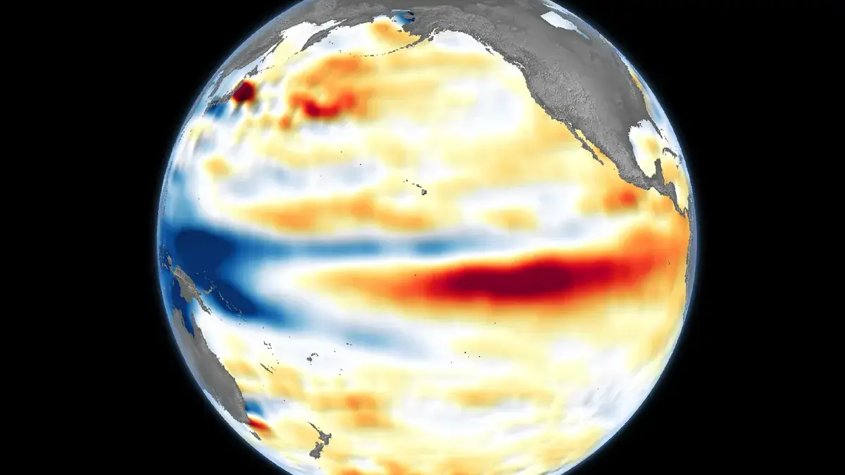
Professor Adam Scaife, head of long-range prediction at the Met Office, explained: “We have been signalling for months that the developing El Niño will be an unprecedented event.
“The fact that it has already exceeded previous records, with several weeks to go before it peaks later this year, shows the enormity of this El Niño.
“Scientists are still assessing whether the impacts will be in proportion to its magnitude, but we are already seeing expected effects worldwide.”
In the UK, the later season of El Niño is associated with an increased risk of cold snaps. It has also sparked concerns over food production worldwide, with certain items expected to be hit.
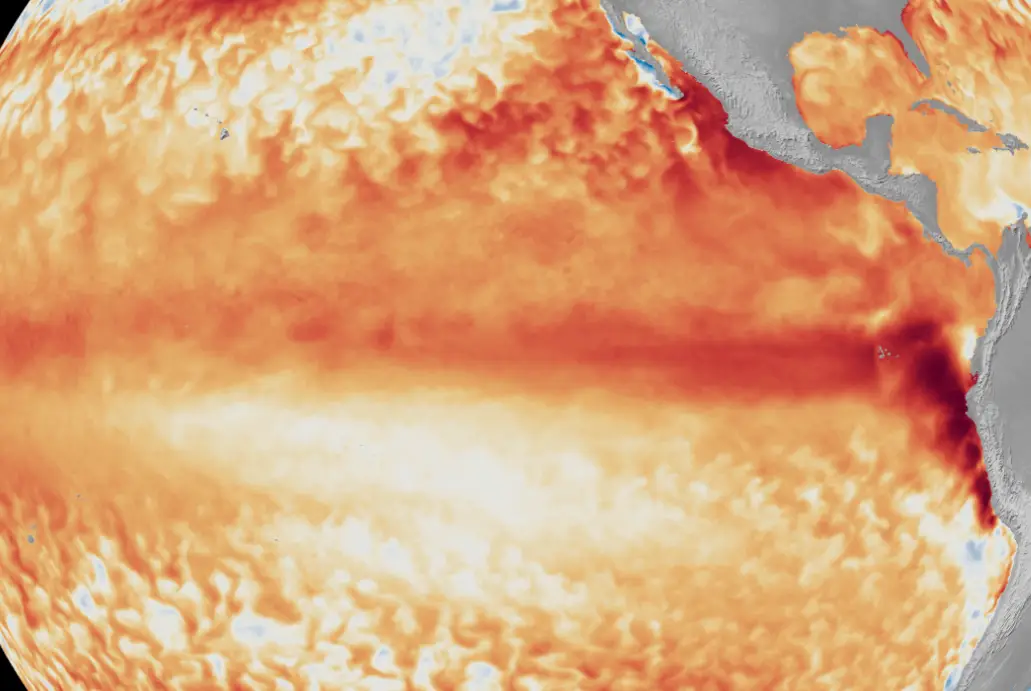
The event will have impacts worldwide, affecting everything from agriculture to water, energy demand, wildfire risk and nature.
The current El Niño is developing on top of human-caused climate change, which is mostly as a result of burning fossil fuels for power, heating, transport and industry and is causing temperature rises and more extreme weather, and is likely to push up global temperatures in 2027 to new record levels.
Travel warning issued
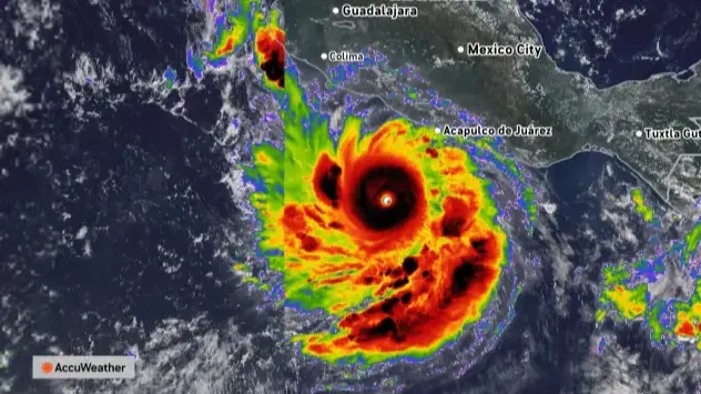
Meanwhile, travel warnings have been issued over a major hurricane which is intensifying off the coast of Mexico.
Hurricane Polo, which reached the highest Category 5 strength on Tuesday (22 September) continued to grow off the Pacific coast, posing life-threatening flooding risks, the US National Hurricane Center said.
It is thought to cause maximum sustained winds nearing 165 mph. It started out as a 40 mph tropical storm.
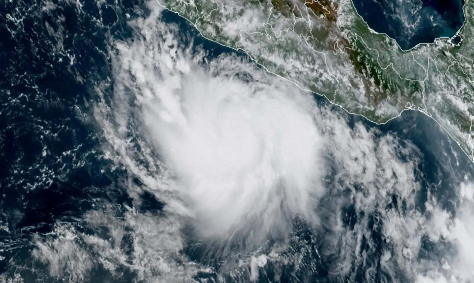
Forecasters however said it is due to make a 'sharp turn' in a west-northwest or northwest direction by late Tuesday, remaining off shore.
An urgent warning has been issued to UK travellers by the Government, warning about the potentially 'life-threatening' conditions in the North American country.
The GOV UK alert read: "Hurricane Polo is bringing heavy rainfall across Mexico’s southwestern coast, including parts of Guerrero, Michoacan and Oaxaca states.
"Heavy rain is expected to continue during the week of 21 September, and may cause life-threatening flooding and landslides. A hurricane warning is in place.

"Monitor local and international weather updates, including US National Hurricane Center and Mexican Meteorological Service. Follow advice from local authorities and your tour operator."
Meanwhile the US Embassy in Mexico posted: "Even if the storm does not make direct landfall, heavy rain may produce life-threatening flooding and mudslides.
"Hazardous ocean conditions—intensified by storms—may result in deadly rip currents and rogue waves.
"Avoid entering the water or walking on beaches during dangerous conditions, heed warnings from local authorities, and monitor official weather updates closely."
Topics: Travel, Weather, World News, El Niño
 James Holt