Scientists explain the direct impact strongest Super El Niño 'in living memory' will have on UK

The UK may have baked in scorching heat for the past couple of months, but it looks like a wetter and stormier winter is on the cards.
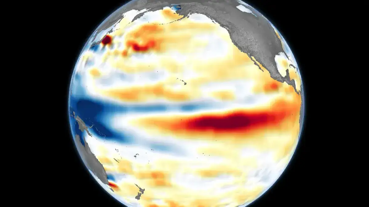
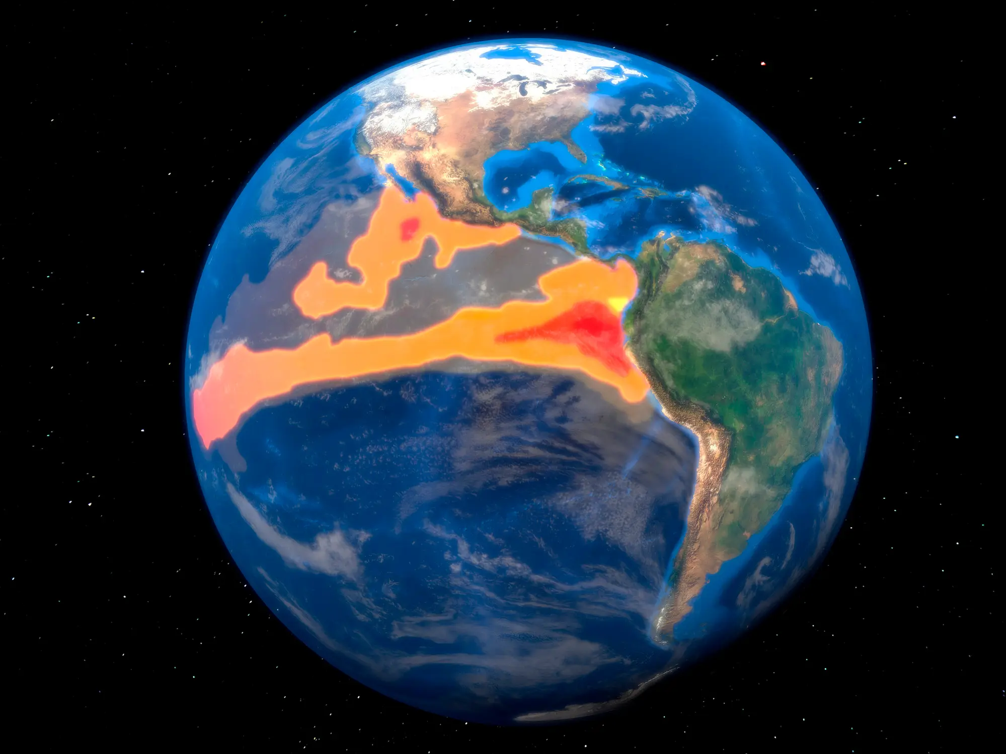
Anyone who's been paying attention to the news in the past couple of months will most likely have heard about the ongoing 'Super El Niño' – a weather event which is triggered by unusually warm ocean surface temperatures in the central and eastern Pacific.
An El Niño is usually declared when recorded temperatures exceed a jump of 0.5C above average; this year, however, looks to be on track for one of the strongest El Niño events on record, with temperatures expected to exceed 3C.
What does an El Niño event mean for the UK?
Speaking to MailOnline about the expected changes in winter weather fronts, Professor Emily Black, a meteorologist from the University of Reading, explained that El Niño events typically bring wetter weather to our shores.
Advert
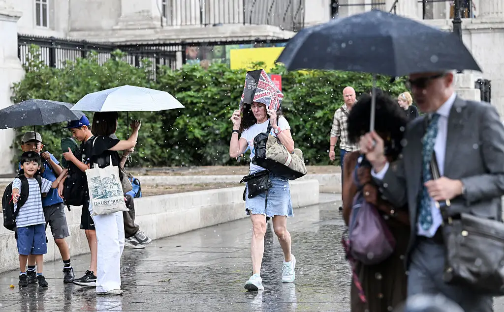
"For the UK, El Niño tends to increase the likelihood of mild, wet and windy conditions during autumn and the first part of winter, and colder conditions later on in the season," she said.
So, in short, we can expect more rain.
However, Professor Black did note that the occurrence of El Niño does not necessarily mean the entire season will be a washout. "Even a very strong El Niño does not determine what the UK winter and autumn will be like. Instead, it changes the probabilities of particular weather patterns," she added.
Now you may be wondering how the temperature of the ocean thousands of miles away from the UK could have any impact on our weather, and the answer to that is: everything is connected.
Known as 'teleconnections' by climate scientists, these are weather patterns which are linked across thousands of miles, according to NOAA. El Niño is one of the most famous drivers of teleconnections, meaning that a warmer ocean surface really can influence the rainfall we can expect later in the year.
"Unlike other parts of the world, such as Southeast Asia and North America, the effects of El Niño on Europe, and specifically the UK, are a bit less predictable and more uncertain," added to the Mail.
"A bigger El Niño does not necessarily mean bigger impacts everywhere. The relationship is much more complicated, particularly over the UK, where several other factors influence the Jet Stream at the same time."
However, milder El Niño effects in the UK don't mean the weather event is any less extreme, with the Met Office saying the current event will 'far exceed our recent experience of El Niño and its worldwide climate influences'.
"We should be clear that this is an unprecedented event", Professor Adam Scaife, Head of Long Range Forecasting at the Met Office, explained, adding that he had 'never seen' an El Niño signal this intense in previous forecasts.
"A typical El Niño leads to an equatorial Pacific sea-surface temperature rise of between 1-2 degrees, with 2oC being a really big event," he continued.
"This implies that if the forecast is accurate - and other forecast systems show similar extreme values - then 2026 will far exceed our recent experience of El Niño and its worldwide climate influences."
 Brenna Cooper