
Meteorologist Warns Australia Could Endure A Historic Third La Niña Next Summer
It was William Shakespeare that wrote 'now is the winter of our discontent'.
Well, Australia, be prepared for those drab feelings to carry on from the colder months right on into summer, because it looks like La Niña is sticking around.
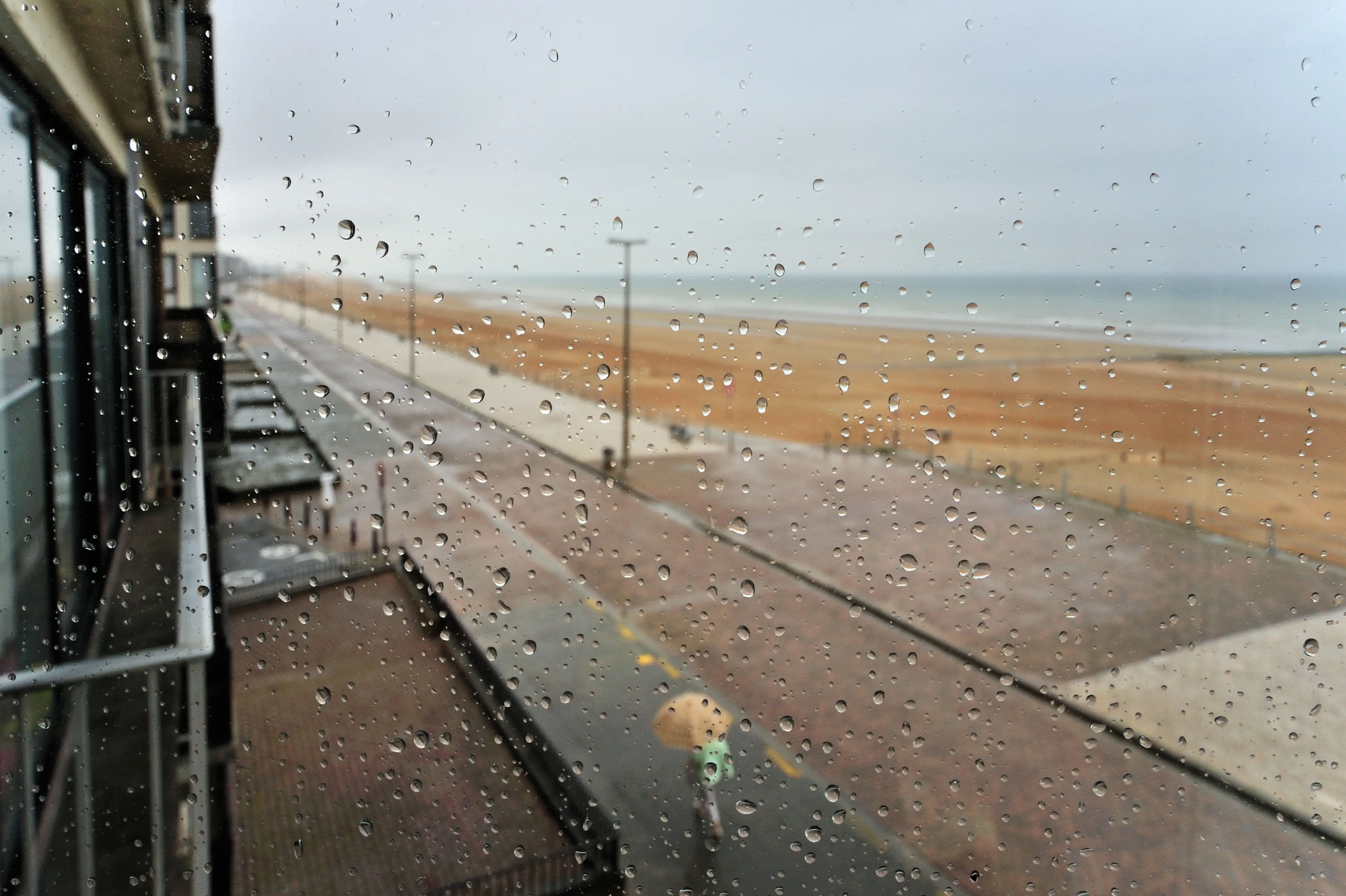
Ah, La Niña. The cold, cranky wench that brings us colder temperatures and wetter weather.
Aussies are currently counting down the days where the cosy winter threads can be ditched for cozzies and beach hair.
Advert
Even though the Bureau of Meteorology declared that La Niña had finally left in late June, it seems that it could once again rear its ugly head to put a damper on our Aussie summer.
If the cold-hearted mole does in fact return to spoil summer it would be the third late resurgence of La Niña since 1950.
Sky News Weather senior meteorologist Tom Saunders reckons it could happen based on the increased trade winds in the west Pacific.
This could see an on-flow effect that may result in another summer of La Niña literally raining on our parade.
Advert
According to news.com.au, five out of seven global models have predicted that La Niña will return by November, because she's a wench that just won't quit.
"Because these trade winds are easterlies, and because they’re stronger than normal through that area, that can lead to ocean upwelling," Saunders told news.com.au.
This can see ocean temperatures cool down, which can trigger the return of La Niña, as it all moves eastward and into the central equatorial Pacific.
That, in turn, may push warmer waters in the direction of Down Under, which creates the perfect storm for more rainfall.
Advert
"That’s the key area which drives the whole phase of the [El Nino-Southern Oscillation] cycle and that can change weather patterns across the globe,” Saunders said, as per news.com.au.
However, should the icy temptress that is La Niña return to Aussie shores, at least our unwanted gal pal is bringing friends.
She's likely to be joined by another weather system that would bring increased chances of rain and lower temperatures.
As La Niña throws up signs that she's coming back, a negative Indian Ocean Dipole (IOD) also looks to be forming.
Advert
These two are besties as they both bring cooler weather and more rain.
The dynamic duo tend to result in some of the wettest weather on record. Great, just great.
"2010 was the last time we had that double, negative IOD and La Nina and that was Australia’s fourth wettest year on record, and our wettest spring on record,” Saunders said, as per news.com.au.
He also said that below-average summertime temperatures are likely on the cards. Yay.
Hopefully La Niña and friends will decide to skip the party this summer.