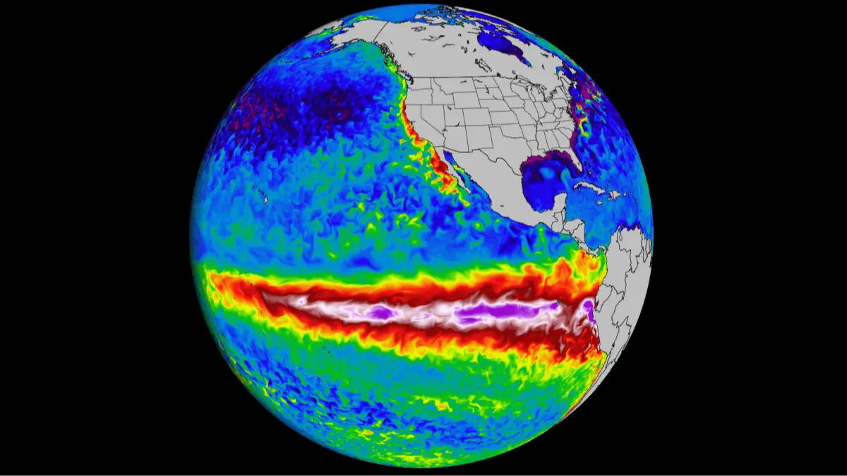
Terrifying ‘worst case scenario’ of ‘Super El Niño’ as NASA releases new images

If you think it's hot now, just wait to see how it might be in the next five years, as scientists reveal what the worst case scenario of a 'Super El Niño' could look like.
Up until recently, the last time I'd heard 'El Niño' was during Fernando Torres' red-hot form for Liverpool in the 07/08 season.
But in reality, it refers to a natural climate cycle called the El Niño–Southern Oscillation, or ENSO.
The cycle switches between warmer El Niño periods and cooler La Niña periods every few years.
Advert
During El Niño, winds weaken and warm water moves east toward the Americas. This change can shift rainfall, storms and temperatures across the globe.
Scientists, however, have found that the annual average could potentially reach as high as 1.9C above pre-industrial levels.
What a worst case scenario looks like:
Hurricane and wildfire
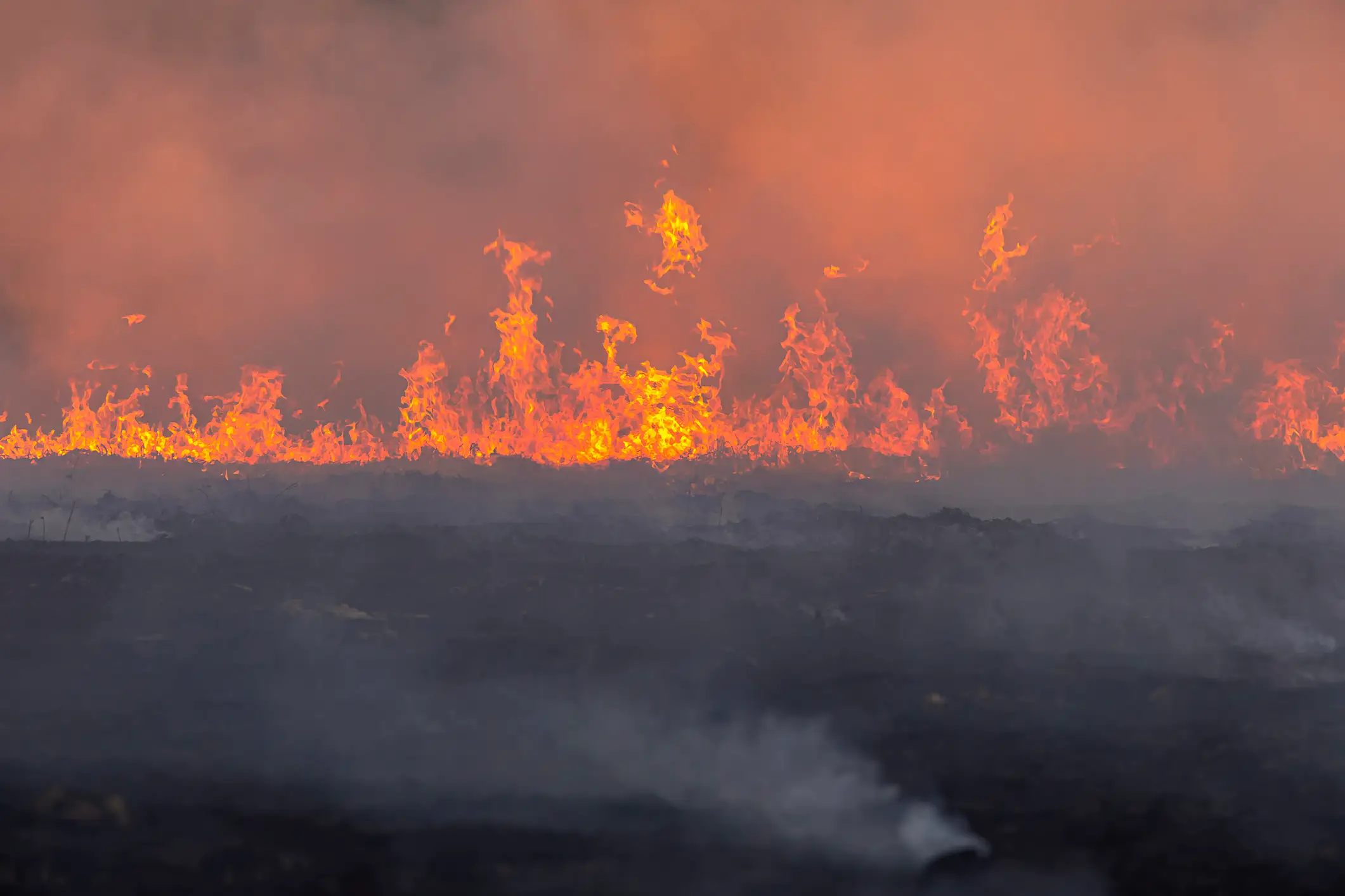
The Pacific hurricane season is expected to be very active this year.
“For the summer, a consequence of El Niño will be a hotter and drier pattern in the Northwest US that can lead to large wildfires,” AccuWeather meteorologist Chad said, Newsweek reports.
“Additionally, severe drought can expand across more of the Northwest into the northern part of the Rockies during El Niño summers that transition to a strong to very strong El Niño by the fall to early winter.”
Flooding and droughts

At the same time, El Niño can also bring sudden heavy rain and flash floods.
Southern California and the Southwest may see tropical downpours linked to warmer Pacific waters.
Flood risks could also rise across the Plains and Midwest, stretching from northern Texas to Ohio and western Pennsylvania.
2027 could be the 'next record-breaking year'
UN climate predictions released on Thursday suggests annual temperatures near the earth’s surface over the years 2026-2030 will range from 1.3C to 1.9C above the 1850-1900 average.
The analysis from the UN’s World Meteorological Organisation (WMO) and the UK’s Met Office finds an 86 percent chance that one year between now and 2030 will break the record for the warmest year.
Leon Hermanson, lead author of the report, said: “There is an El Nino predicted for the end of 2026, which increases the chances of the following year, 2027, being the next record-breaking year.”
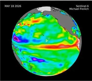
NASA's latest images
What could this look like for the UK?
Meteorlogy Professor Emily Black, a professor of terrestrial processes and climate, research division lead for Earth Observation and Space, told LADbible that the UK will be less affected than the Americas.
"Direct El Niño effects on the UK weather are weak compared to lower latitudes," Professor Black explained.
"For the UK, during the summer, El Niño is associated with somewhat warmer temperatures. Winters during an El Niño tend to be slightly wetter in the early part of the season with cold spells developing later on.
"Even though the direct impacts on the UK are comparatively weak, we should be concerned about impacts on food prices and the global food supply chains."
How does an El Niño year happen?
Strap in, folks. It’s time for some science.
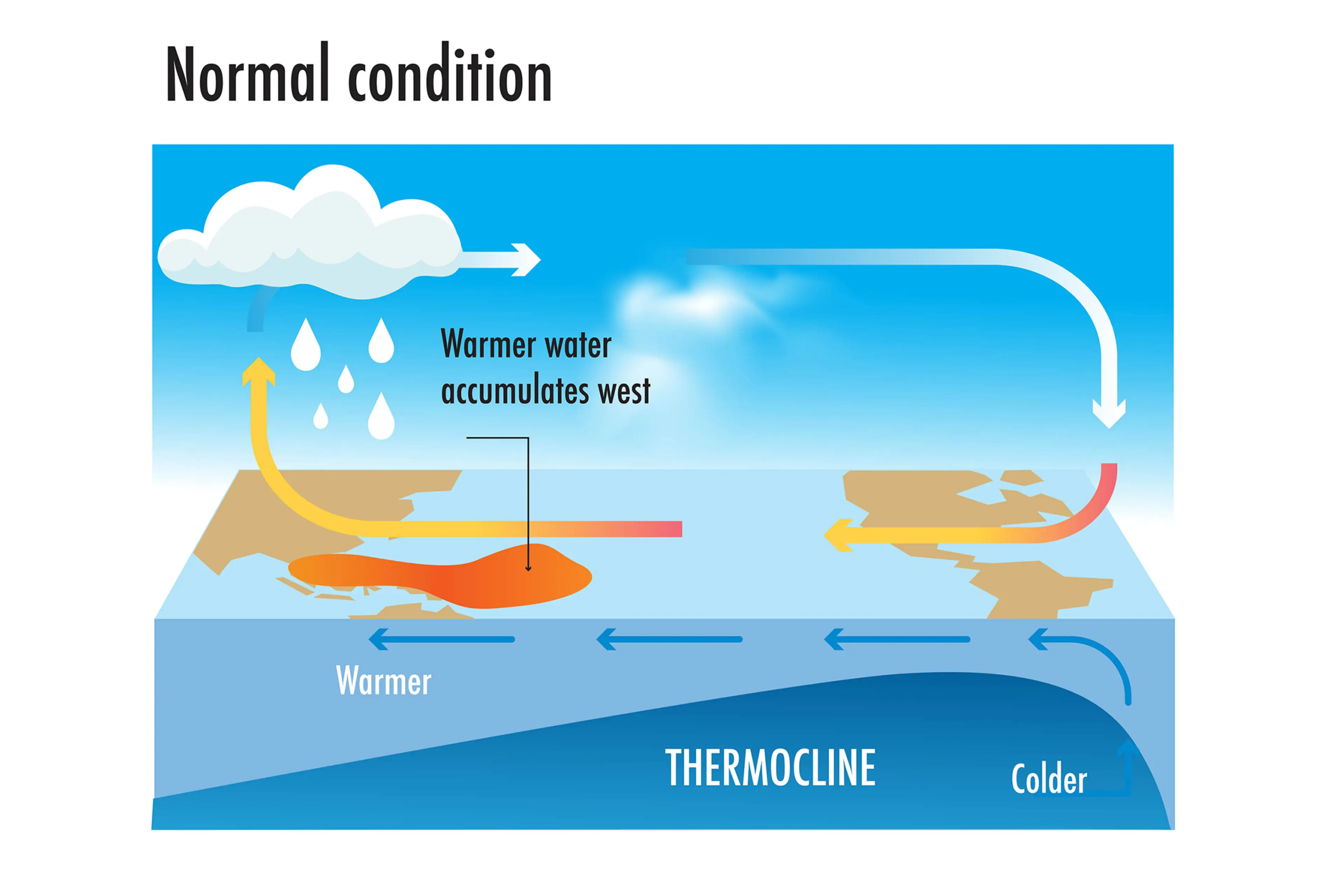
It all starts with something called trade winds, which are permanent winds around the equator which usually blow from east to west. So in the equatorial Pacific, they blow from the Americas towards Australia and New Zealand.
As the wind blows the water east, it is warmed by the sun, so by the time it gets to the other side of the Pacific, the warm water causes hot air to rise, leading to warm, wet and unsettled weather. Meanwhile, colder water from deeper in the ocean rises in the east to replace the water blown west.
But during El Niño years, this gets disrupted.
When trade winds are weakened or even reversed, the temperature difference between the east and west is cancelled out, and usually cold parts of the ocean warm up.
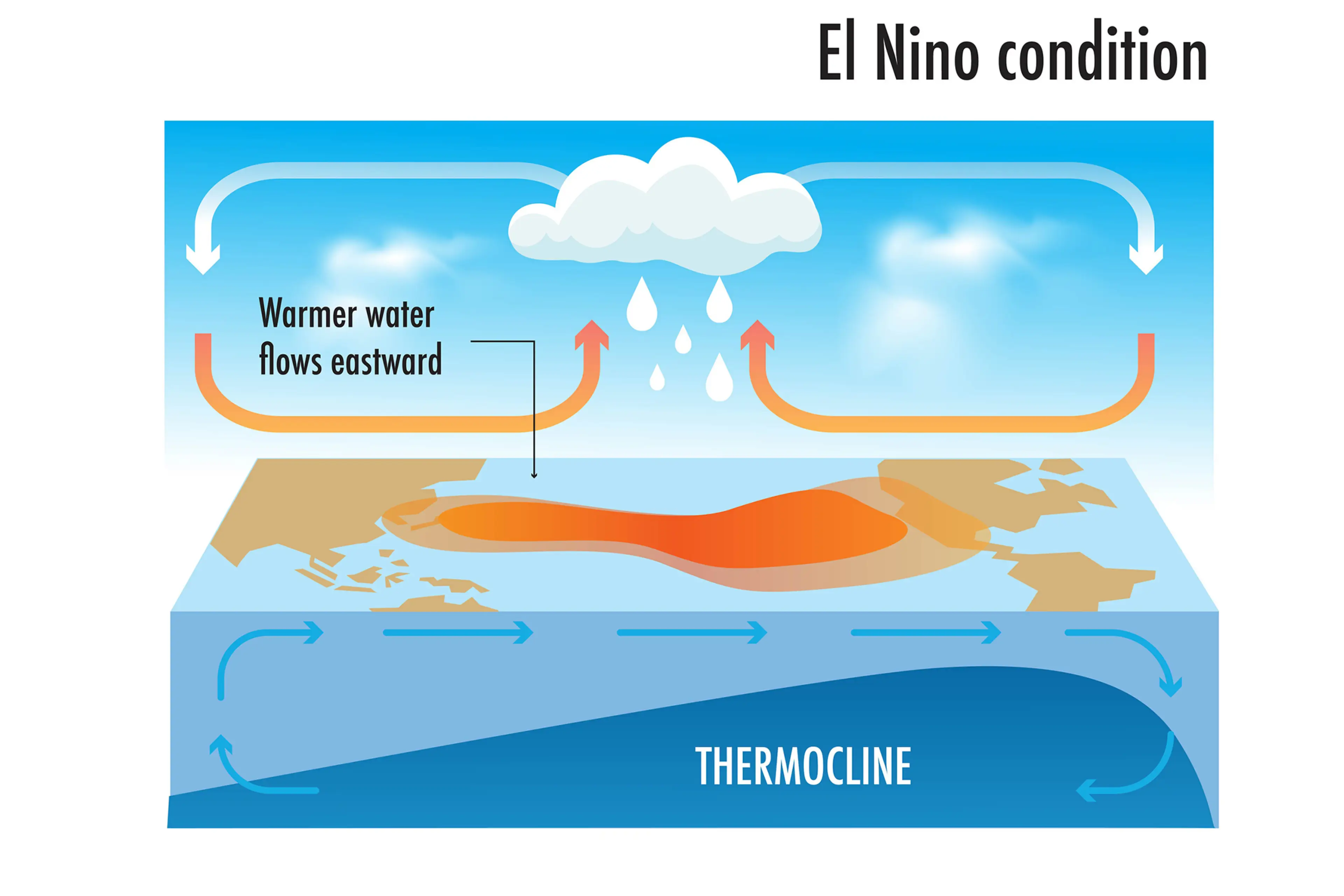
Rainfall and wind patterns change across the equatorial Pacific, which has a knock-on effect around the world.
Anyone else's head hurt a bit?
Topics: News, Weather, World News, El Niño
 Anish Vij